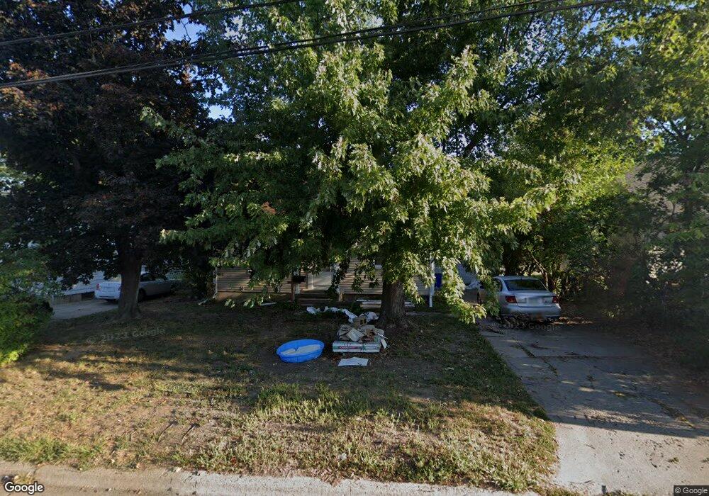
1410 30th St NE Cedar Rapids, IA 52402
Kenwood Park NeighborhoodEstimated Value: $187,494 - $202,000
3
Beds
1
Bath
1,436
Sq Ft
$135/Sq Ft
Est. Value
About This Home
This home is located at 1410 30th St NE, Cedar Rapids, IA 52402 and is currently estimated at $193,374, approximately $134 per square foot. 1410 30th St NE is a home located in Linn County with nearby schools including Garfield Elementary School, Franklin Middle School, and George Washington High School.
Ownership History
Date
Name
Owned For
Owner Type
Purchase Details
Closed on
Nov 16, 2009
Sold by
Sullivan Patrick T and Sullivan Khrystle D
Bought by
Durain Robin R
Current Estimated Value
Home Financials for this Owner
Home Financials are based on the most recent Mortgage that was taken out on this home.
Original Mortgage
$114,880
Outstanding Balance
$74,628
Interest Rate
4.9%
Mortgage Type
FHA
Estimated Equity
$118,746
Purchase Details
Closed on
Jun 20, 2001
Sold by
Hoffnagle Matthew M and Hoffnagle Dana A
Bought by
Sullivan Patrick T and Sullivan Khrystle D
Home Financials for this Owner
Home Financials are based on the most recent Mortgage that was taken out on this home.
Original Mortgage
$97,962
Interest Rate
7.11%
Mortgage Type
FHA
Create a Home Valuation Report for This Property
The Home Valuation Report is an in-depth analysis detailing your home's value as well as a comparison with similar homes in the area
Home Values in the Area
Average Home Value in this Area
Purchase History
| Date | Buyer | Sale Price | Title Company |
|---|---|---|---|
| Durain Robin R | $116,500 | Security First Title Co | |
| Sullivan Patrick T | $99,000 | -- |
Source: Public Records
Mortgage History
| Date | Status | Borrower | Loan Amount |
|---|---|---|---|
| Open | Durain Robin R | $114,880 | |
| Previous Owner | Sullivan Patrick T | $97,962 |
Source: Public Records
Tax History Compared to Growth
Tax History
| Year | Tax Paid | Tax Assessment Tax Assessment Total Assessment is a certain percentage of the fair market value that is determined by local assessors to be the total taxable value of land and additions on the property. | Land | Improvement |
|---|---|---|---|---|
| 2025 | $2,748 | $174,800 | $40,300 | $134,500 |
| 2024 | $2,644 | $165,700 | $36,600 | $129,100 |
| 2023 | $2,644 | $165,700 | $36,600 | $129,100 |
| 2022 | $2,456 | $134,200 | $32,900 | $101,300 |
| 2021 | $2,568 | $127,500 | $31,100 | $96,400 |
| 2020 | $2,568 | $125,000 | $27,500 | $97,500 |
| 2019 | $2,310 | $115,700 | $27,500 | $88,200 |
| 2018 | $2,166 | $115,700 | $27,500 | $88,200 |
| 2017 | $2,349 | $112,100 | $27,500 | $84,600 |
| 2016 | $2,349 | $110,500 | $27,500 | $83,000 |
| 2015 | $2,347 | $110,328 | $29,280 | $81,048 |
| 2014 | $2,162 | $113,602 | $29,280 | $84,322 |
| 2013 | $2,180 | $113,602 | $29,280 | $84,322 |
Source: Public Records
Map
Nearby Homes
- 2935 Wildwood Ct NE
- 1230 30th St NE
- 2906 Oakland Rd NE
- 1231 33rd St NE
- 3050 Center Point Rd NE
- 3028 Center Point Rd NE Unit 202
- 1126 32nd St NE
- 1134 Center St NE
- 1115 27th St NE
- 1222 35th St NE
- 1721 34th St NE
- 1047 27th St NE
- 1114 35th St NE
- 1051 35th St NE
- 1032 34th St NE
- 3704 Richmond Rd NE
- 3711 Oakland Rd NE
- 1611 Hollywood Blvd NE
- 1204 Elmhurst Dr NE
- 2962 Circle Dr NE
- 1416 30th St NE
- 1404 30th St NE
- 1422 30th St NE
- 1400 30th St NE
- 1411 30th St NE
- 1417 30th St NE
- 1428 30th St NE
- 1296 30th St NE
- 1405 30th St NE
- 1423 30th St NE
- 1432 30th St NE
- 1292 30th St NE
- 1297 30th St NE
- 2952 Wildwood Ct NE
- 1438 30th St NE
- 1435 31st St NE Unit B
- 1435 31st St NE Unit C
- 1435 31st St NE Unit A
- 1435 31st St NE Unit A&B
- 1435 31st St NE Unit D