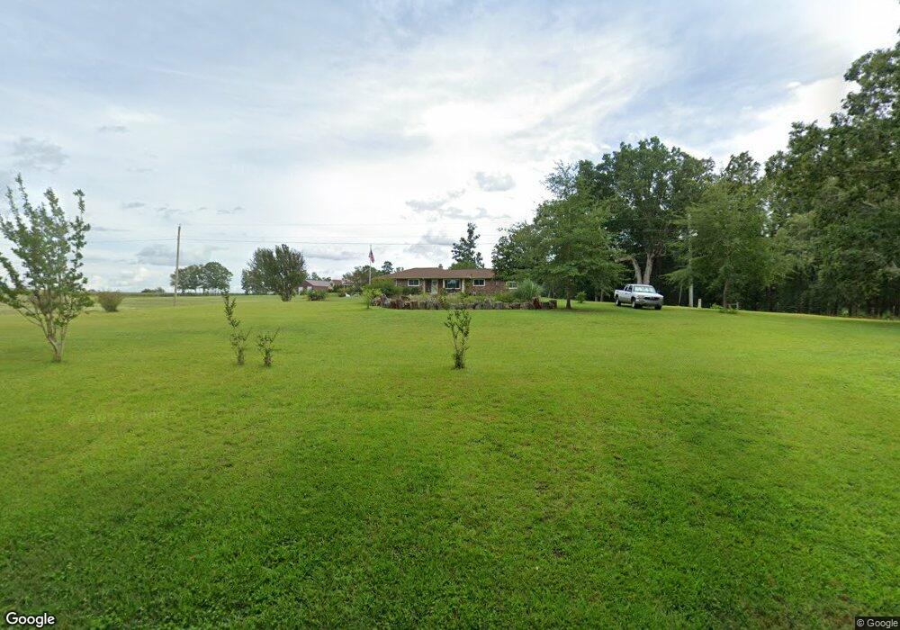
1410 Bishops Branch Rd Central, SC 29630
Estimated Value: $288,000 - $317,000
3
Beds
2
Baths
2,093
Sq Ft
$144/Sq Ft
Est. Value
About This Home
This home is located at 1410 Bishops Branch Rd, Central, SC 29630 and is currently estimated at $300,657, approximately $143 per square foot. 1410 Bishops Branch Rd is a home located in Anderson County with nearby schools including Pendleton High School.
Ownership History
Date
Name
Owned For
Owner Type
Purchase Details
Closed on
Mar 18, 2011
Sold by
Saavedra Michael H
Bought by
Saavedra Michael H and Saavedra Donna J
Current Estimated Value
Home Financials for this Owner
Home Financials are based on the most recent Mortgage that was taken out on this home.
Original Mortgage
$129,533
Outstanding Balance
$89,836
Interest Rate
4.99%
Mortgage Type
New Conventional
Estimated Equity
$210,821
Purchase Details
Closed on
Dec 23, 2009
Sold by
Dobson Lillian M and Dobson Lillian I
Bought by
Wardlaw Jack
Create a Home Valuation Report for This Property
The Home Valuation Report is an in-depth analysis detailing your home's value as well as a comparison with similar homes in the area
Home Values in the Area
Average Home Value in this Area
Purchase History
| Date | Buyer | Sale Price | Title Company |
|---|---|---|---|
| Saavedra Michael H | -- | -- | |
| Saavedra Michael H | $125,000 | -- | |
| Wardlaw Jack | $125,000 | -- |
Source: Public Records
Mortgage History
| Date | Status | Borrower | Loan Amount |
|---|---|---|---|
| Open | Saavedra Michael H | $129,533 |
Source: Public Records
Tax History
| Year | Tax Paid | Tax Assessment Tax Assessment Total Assessment is a certain percentage of the fair market value that is determined by local assessors to be the total taxable value of land and additions on the property. | Land | Improvement |
|---|---|---|---|---|
| 2024 | $678 | $6,250 | $560 | $5,690 |
| 2023 | $675 | $6,250 | $560 | $5,690 |
| 2022 | $607 | $6,250 | $560 | $5,690 |
| 2021 | $530 | $5,680 | $490 | $5,190 |
| 2020 | $523 | $5,680 | $490 | $5,190 |
| 2019 | $817 | $5,680 | $490 | $5,190 |
| 2018 | $824 | $5,680 | $490 | $5,190 |
| 2017 | $794 | $5,680 | $490 | $5,190 |
| 2016 | $794 | $5,430 | $480 | $4,950 |
| 2015 | $798 | $5,430 | $480 | $4,950 |
| 2014 | $819 | $5,430 | $480 | $4,950 |
Source: Public Records
Map
Nearby Homes
- 00 Liberty Hwy
- 2921 Old Greenville Hwy
- 2923 Old Greenville Hwy
- 2925 Old Greenville Hwy
- 354 Harper Rd
- 139 Louise Dr
- 6620 Liberty Hwy
- 616 Anderson Rd
- 540 Seaborn Cir
- 538 Seaborn Cir
- 00 Danenhower Rd
- 102 Rogers Rd
- 150 Queens Mill Ct
- 156 Queens Mill Ct
- 1000 Hopkins Ave
- 145 Old Sanders Rd
- 168 Queens Mill Ct
- 0 Cherry Street Extension
- 208 Rogers Rd
- 119 Mcalister Dr
- 511 Link Rd
- 517 Link Rd
- 501 Link Rd
- 505 Link Rd
- 491 Link Rd
- 508 Link Rd
- 1240 Central Rd
- 1500 Bishops Branch Rd
- 1311 Bishops Branch Rd
- 1513 Bishop Branch Rd
- 526 Link Rd
- 242 McMurtrey Rd
- 1516 Bishop Branch Rd
- 1210 Central Rd
- 432 Link Rd
- 430 Link Rd
- 264 McMurtrey Rd
- 205 Wilson Rd
- 254 McMurtrey Rd
- 247 McMurtrey Rd
Your Personal Tour Guide
Ask me questions while you tour the home.