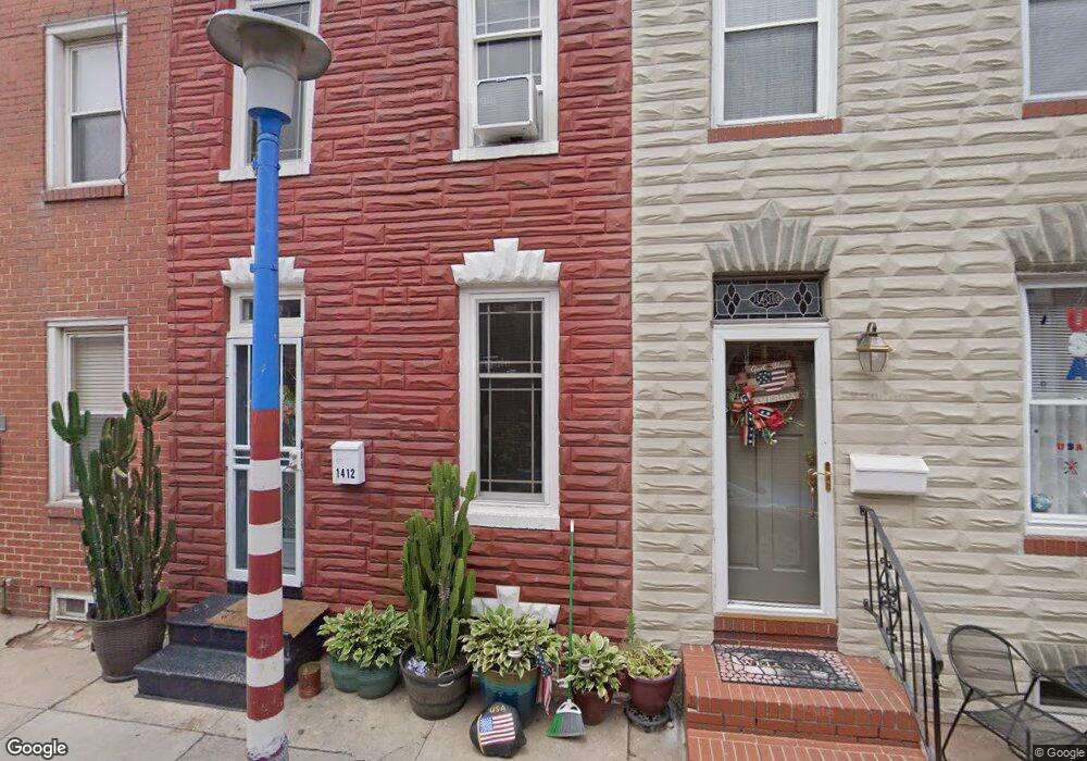
1410 Cooksie St Baltimore, MD 21230
Locust Point NeighborhoodEstimated Value: $235,223 - $449,000
Studio
2
Baths
1,170
Sq Ft
$292/Sq Ft
Est. Value
About This Home
This home is located at 1410 Cooksie St, Baltimore, MD 21230 and is currently estimated at $342,112, approximately $292 per square foot. 1410 Cooksie St is a home located in Baltimore City with nearby schools including Francis Scott Key Elementary/Middle School, Booker T. Washington Middle School, and Digital Harbor High School.
Ownership History
Date
Name
Owned For
Owner Type
Purchase Details
Closed on
Jun 7, 2004
Sold by
Satosky Stuart A
Bought by
Satosky Stuart A and Satosky Deborah
Current Estimated Value
Purchase Details
Closed on
Jan 5, 1999
Sold by
Harot Properties Inc
Bought by
Satosky Stuart A
Purchase Details
Closed on
May 27, 1998
Sold by
The Secretary Of Veterans
Bought by
Harot Properties Inc
Purchase Details
Closed on
Mar 2, 1998
Sold by
Shipley Vernon M
Bought by
The Secretary Of Veterans and Affairs
Create a Home Valuation Report for This Property
The Home Valuation Report is an in-depth analysis detailing your home's value as well as a comparison with similar homes in the area
Home Values in the Area
Average Home Value in this Area
Purchase History
| Date | Buyer | Sale Price | Title Company |
|---|---|---|---|
| Satosky Stuart A | -- | -- | |
| Satosky Stuart A | $72,500 | -- | |
| Harot Properties Inc | $25,000 | -- | |
| The Secretary Of Veterans | $34,584 | -- |
Source: Public Records
Tax History
| Year | Tax Paid | Tax Assessment Tax Assessment Total Assessment is a certain percentage of the fair market value that is determined by local assessors to be the total taxable value of land and additions on the property. | Land | Improvement |
|---|---|---|---|---|
| 2025 | $2,954 | $195,833 | -- | -- |
| 2024 | $2,954 | $194,267 | -- | -- |
| 2023 | $2,838 | $192,700 | $80,000 | $112,700 |
| 2022 | $2,728 | $192,700 | $80,000 | $112,700 |
| 2021 | $4,548 | $192,700 | $80,000 | $112,700 |
| 2020 | $2,495 | $200,400 | $80,000 | $120,400 |
| 2019 | $2,381 | $198,400 | $0 | $0 |
| 2018 | $2,334 | $196,400 | $0 | $0 |
| 2017 | $2,290 | $194,400 | $0 | $0 |
| 2016 | $1,994 | $191,100 | $0 | $0 |
| 2015 | $1,994 | $187,800 | $0 | $0 |
| 2014 | $1,994 | $184,500 | $0 | $0 |
Source: Public Records
Map
Nearby Homes
- 1406 Cooksie St
- 1425 E Clement St
- 1358 Towson St
- 1432 Haubert St
- 1500 Latrobe Park Terrace
- 1436 Andre St
- 1337 Richardson St
- 1446 Andre St
- 1327 Richardson St
- 1314 Haubert St
- 1312 Haubert St
- 1352 Andre St
- 1600 Beason St
- 1518 Decatur St Unit C
- 1511 Lowman St
- 1212 Towson St
- 1200 Steuart St Unit 713
- 1200 Steuart St Unit 425
- 1200 Steuart St Unit 1711
- 1200 Steuart St Unit 312
Your Personal Tour Guide
Ask me questions while you tour the home.