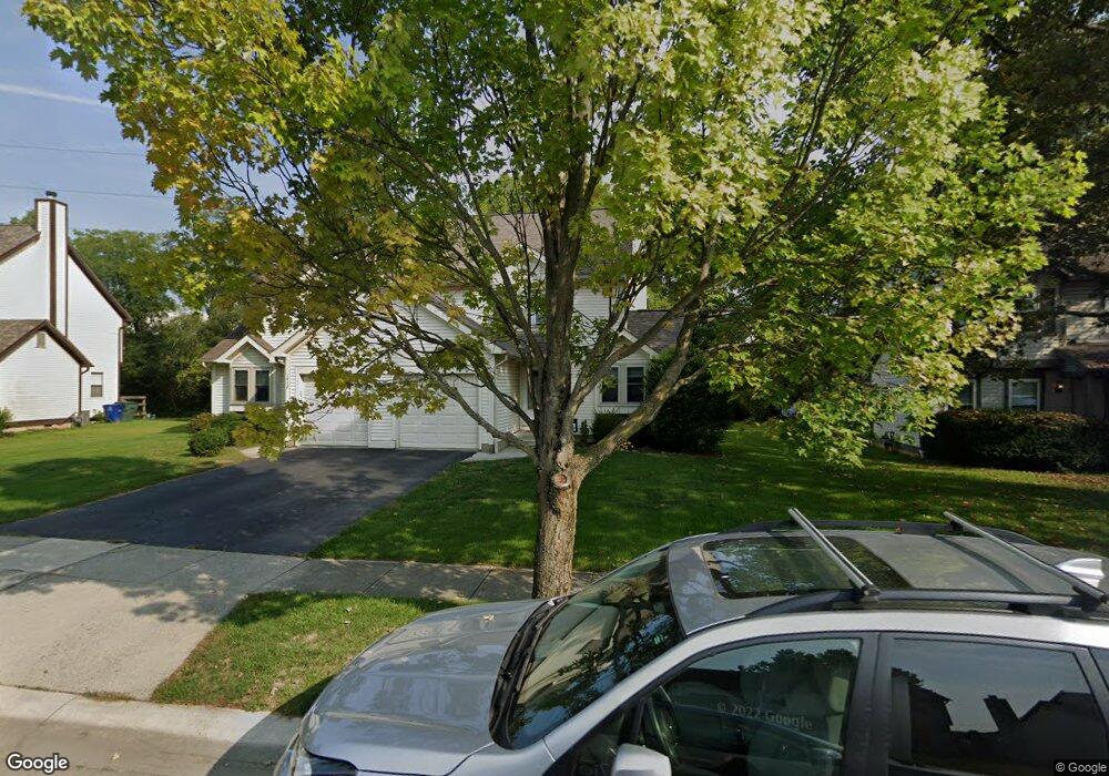
1410 Donwalter Ln Unit 412 Columbus, OH 43235
Worthingview NeighborhoodEstimated Value: $248,000 - $507,000
6
Beds
4
Baths
2,816
Sq Ft
$141/Sq Ft
Est. Value
About This Home
This home is located at 1410 Donwalter Ln Unit 412, Columbus, OH 43235 and is currently estimated at $398,015, approximately $141 per square foot. 1410 Donwalter Ln Unit 412 is a home located in Franklin County with nearby schools including Bluffsview Elementary School, McCord Middle School, and Worthington Kilbourne High School.
Ownership History
Date
Name
Owned For
Owner Type
Purchase Details
Closed on
Nov 15, 2024
Sold by
Steiner Susan H
Bought by
Stephen E Bazzoli Living Trust and Susan L Rousseau Bazzoli Living Trust
Current Estimated Value
Purchase Details
Closed on
Aug 16, 2008
Sold by
Bazzoli Stephen E and Steiner Richard A
Bought by
Bazzoli Susan L Rousseau and Susan L Rousseau Bazzoli Declaration Tru
Purchase Details
Closed on
Oct 6, 1987
Bought by
Bazzoli Stephen E and Bazzoli Richa
Purchase Details
Closed on
Dec 4, 1986
Create a Home Valuation Report for This Property
The Home Valuation Report is an in-depth analysis detailing your home's value as well as a comparison with similar homes in the area
Home Values in the Area
Average Home Value in this Area
Purchase History
| Date | Buyer | Sale Price | Title Company |
|---|---|---|---|
| Stephen E Bazzoli Living Trust | $240,000 | New Leaf Title | |
| Stephen E Bazzoli Living Trust | $240,000 | New Leaf Title | |
| Bazzoli Susan L Rousseau | -- | Attorney | |
| Bazzoli Stephen E | $137,500 | -- | |
| -- | -- | -- |
Source: Public Records
Tax History Compared to Growth
Tax History
| Year | Tax Paid | Tax Assessment Tax Assessment Total Assessment is a certain percentage of the fair market value that is determined by local assessors to be the total taxable value of land and additions on the property. | Land | Improvement |
|---|---|---|---|---|
| 2024 | $8,357 | $133,500 | $40,780 | $92,720 |
| 2023 | $7,998 | $133,500 | $40,780 | $92,720 |
| 2022 | $6,232 | $82,500 | $17,190 | $65,310 |
| 2021 | $5,759 | $82,500 | $17,190 | $65,310 |
| 2020 | $5,552 | $82,500 | $17,190 | $65,310 |
| 2019 | $5,356 | $71,760 | $14,950 | $56,810 |
| 2018 | $5,535 | $71,760 | $14,950 | $56,810 |
| 2017 | $5,345 | $71,760 | $14,950 | $56,810 |
| 2016 | $5,874 | $80,510 | $16,000 | $64,510 |
| 2015 | $5,875 | $80,510 | $16,000 | $64,510 |
| 2014 | $5,873 | $80,510 | $16,000 | $64,510 |
| 2013 | $2,771 | $76,265 | $14,525 | $61,740 |
Source: Public Records
Map
Nearby Homes
- 1380 Tiehack Ct
- 1620 Park Row Dr Unit A
- 1637 Park Row Dr Unit F
- 7164 Durness Place
- 1101 Bluffway Dr
- 7522 Acela St
- 2687 Snouffer Rd
- 1828 Gardenstone Dr
- 1041 Rosebank Dr
- 1889 Slaton Ct Unit 1889
- 1930 Shallowford Ave
- 2001 Sawbury Blvd Unit 2001
- 6921 Spruce Pine Dr
- 2056 Fincastle Ct
- 6637 Merwin Rd
- 2074 Hard Rd
- 6550 Winston Ct E
- 1986 Sutter Pkwy
- 2161 Heatherfield Ave
- 1539 Clubview Blvd S
- 1398 Donwalter Ln Unit 400
- 1422 Donwalter Ln Unit 424
- 1390 Donwalter Ln Unit 392
- 1417 Donwalter Ln
- 1392 Donwalter Ln
- 1405 Donwalter Ln
- 1430 Donwalter Ln Unit 432
- 1397 Donwalter Ln
- 1429 Donwalter Ln
- 1389 Donwalter Ln
- 1382 Donwalter Ln Unit 384
- 1381 Donwalter Ln
- 1408 Buttermilk Ave
- 1400 Buttermilk Ave
- 1438 Donwalter Ln Unit 440
- 1416 Buttermilk Ave
- 1394 Buttermilk Ave
- 1459-1461 Snowmass Rd
- 1374 Donwalter Ln Unit 376
- 1386 Buttermilk Ave