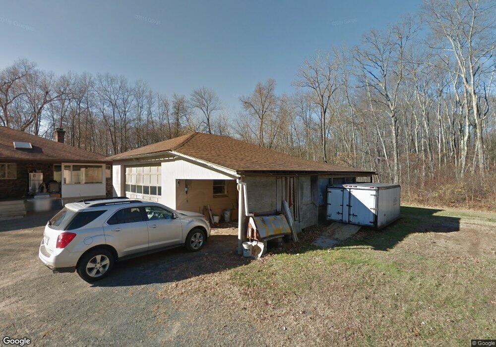
1410 Morgan Rd West Springfield, MA 01089
Estimated Value: $444,000 - $613,301
3
Beds
2
Baths
2,176
Sq Ft
$249/Sq Ft
Est. Value
About This Home
This home is located at 1410 Morgan Rd, West Springfield, MA 01089 and is currently estimated at $542,075, approximately $249 per square foot. 1410 Morgan Rd is a home located in Hampden County with nearby schools including West Springfield High School and St Thomas The Apostle School.
Ownership History
Date
Name
Owned For
Owner Type
Purchase Details
Closed on
Nov 8, 2023
Sold by
Couture Mario B and Couture Denyse A
Bought by
Couture Ft and Couture
Current Estimated Value
Purchase Details
Closed on
Aug 25, 2009
Sold by
Couture Mario B and Couture Denyse A
Bought by
Connor Gerard Paul and Connor Ann Marie
Purchase Details
Closed on
Feb 1, 1982
Bought by
Couture Mario B and Couture Denyse A
Create a Home Valuation Report for This Property
The Home Valuation Report is an in-depth analysis detailing your home's value as well as a comparison with similar homes in the area
Home Values in the Area
Average Home Value in this Area
Purchase History
| Date | Buyer | Sale Price | Title Company |
|---|---|---|---|
| Couture Ft | -- | None Available | |
| Connor Gerard Paul | -- | -- | |
| Couture Mario B | $24,900 | -- |
Source: Public Records
Mortgage History
| Date | Status | Borrower | Loan Amount |
|---|---|---|---|
| Previous Owner | Couture Mario B | $75,000 | |
| Previous Owner | Couture Mario B | $50,000 | |
| Previous Owner | Couture Mario B | $20,000 |
Source: Public Records
Tax History
| Year | Tax Paid | Tax Assessment Tax Assessment Total Assessment is a certain percentage of the fair market value that is determined by local assessors to be the total taxable value of land and additions on the property. | Land | Improvement |
|---|---|---|---|---|
| 2025 | $7,547 | $507,500 | $190,000 | $317,500 |
| 2024 | $7,454 | $503,300 | $190,000 | $313,300 |
| 2023 | $7,344 | $472,600 | $196,600 | $276,000 |
| 2022 | $6,813 | $432,300 | $184,000 | $248,300 |
| 2021 | $6,750 | $399,400 | $178,000 | $221,400 |
| 2020 | $6,786 | $399,400 | $178,000 | $221,400 |
| 2019 | $6,774 | $399,400 | $178,000 | $221,400 |
| 2018 | $6,810 | $399,400 | $178,000 | $221,400 |
| 2017 | $6,810 | $399,400 | $178,000 | $221,400 |
| 2016 | $6,747 | $397,100 | $173,500 | $223,600 |
| 2015 | $6,645 | $391,100 | $171,100 | $220,000 |
| 2014 | $1,616 | $391,100 | $171,100 | $220,000 |
Source: Public Records
Map
Nearby Homes
- 791 Morgan Rd
- 34 High Meadow Dr
- 17 Vincent Dr
- 655 Morgan Rd
- 156 Canterbury Way
- 361 Prospect Ave
- 11 Annie's Way
- 48 Mountain Ave
- 0 Ahiska Rd Unit 73477754
- 34 Pebble Path Ln
- 66 Penrose Dr
- 80 Brush Hill Ave Unit 61
- 1173 E Mountain Rd
- 36 Shady Brook
- 89-111 Whitney Ave
- 2 Windpath E
- 287 Whitney Ave
- 1768 E Mountain Rd
- 86 Albert St
- 259 Ohio Ave
- 1420 Morgan Rd
- 1400 Morgan Rd
- 1436 Morgan Rd
- 1362 Morgan Rd
- 1452 Morgan Rd
- 1359 Morgan Rd
- 1407 Morgan Rd
- 1466 Morgan Rd
- 1492 Morgan Rd
- 1360 Morgan Rd
- 1482 Morgan Rd
- 1350 Morgan Rd
- 1500 Morgan Rd
- 1510 Morgan Rd
- 1520 Morgan Rd
- 150 Hannoush Dr
- 1320 Morgan Rd
- 1413 Morgan Rd
- 1321 Morgan Rd
- 227 Hannoush Dr
Your Personal Tour Guide
Ask me questions while you tour the home.