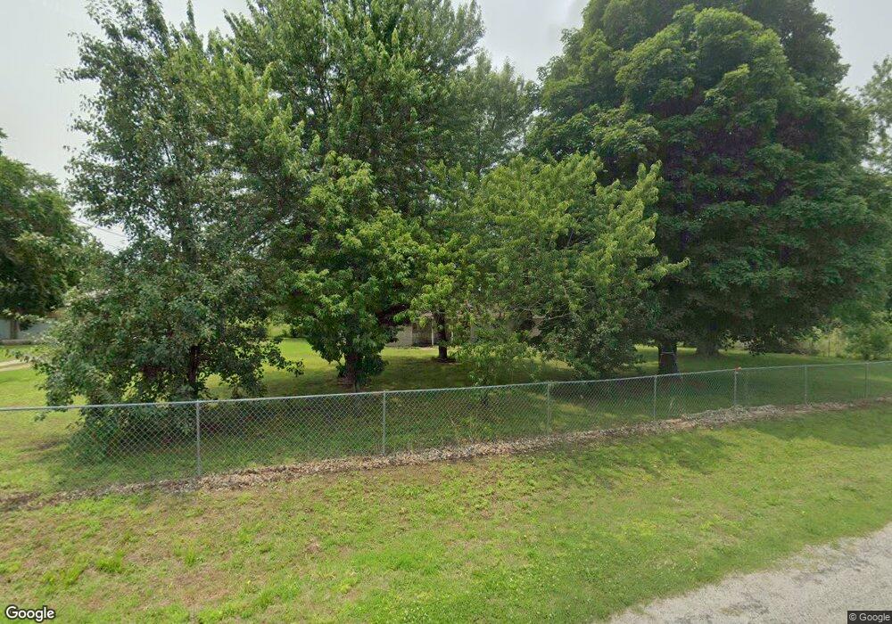
14102 Maple Rd Carthage, MO 64836
Estimated Value: $207,000 - $339,000
4
Beds
2
Baths
1,725
Sq Ft
$159/Sq Ft
Est. Value
About This Home
This home is located at 14102 Maple Rd, Carthage, MO 64836 and is currently estimated at $273,596, approximately $158 per square foot. 14102 Maple Rd is a home located in Jasper County with nearby schools including Carthage High School.
Ownership History
Date
Name
Owned For
Owner Type
Purchase Details
Closed on
Oct 7, 2011
Sold by
Schrader James D and Schrader Shelly A
Bought by
Rangel Leticia
Current Estimated Value
Home Financials for this Owner
Home Financials are based on the most recent Mortgage that was taken out on this home.
Original Mortgage
$103,500
Outstanding Balance
$70,944
Interest Rate
4.28%
Mortgage Type
New Conventional
Estimated Equity
$202,652
Purchase Details
Closed on
Nov 9, 2007
Sold by
Schrader James D and Schrader Shelly A
Bought by
Schrader James D and Schrader Shelley A
Home Financials for this Owner
Home Financials are based on the most recent Mortgage that was taken out on this home.
Original Mortgage
$99,700
Interest Rate
6.38%
Mortgage Type
New Conventional
Purchase Details
Closed on
Mar 27, 2006
Sold by
Schrader Shelly A
Bought by
Schrader James D
Create a Home Valuation Report for This Property
The Home Valuation Report is an in-depth analysis detailing your home's value as well as a comparison with similar homes in the area
Purchase History
| Date | Buyer | Sale Price | Title Company |
|---|---|---|---|
| Rangel Leticia | -- | Fatco | |
| Schrader James D | -- | Barrister Title Services Llc | |
| Schrader James D | -- | None Available |
Source: Public Records
Mortgage History
| Date | Status | Borrower | Loan Amount |
|---|---|---|---|
| Open | Rangel Leticia | $103,500 | |
| Previous Owner | Schrader James D | $99,700 |
Source: Public Records
Tax History
| Year | Tax Paid | Tax Assessment Tax Assessment Total Assessment is a certain percentage of the fair market value that is determined by local assessors to be the total taxable value of land and additions on the property. | Land | Improvement |
|---|---|---|---|---|
| 2025 | $958 | $22,380 | $3,660 | $18,720 |
| 2024 | $958 | $20,480 | $3,660 | $16,820 |
| 2023 | $958 | $20,480 | $3,660 | $16,820 |
| 2022 | $979 | $21,000 | $3,660 | $17,340 |
| 2021 | $967 | $21,000 | $3,660 | $17,340 |
| 2020 | $940 | $19,620 | $3,660 | $15,960 |
| 2019 | $942 | $19,620 | $3,660 | $15,960 |
| 2018 | $869 | $18,120 | $0 | $0 |
| 2017 | $872 | $18,120 | $0 | $0 |
| 2016 | $884 | $18,430 | $0 | $0 |
Source: Public Records
Map
Nearby Homes
- 000 Locust Rd
- 000 County Road 140
- 11279 County Road 130
- 14146 Kafir Rd
- 2061 Lakeview St
- 1330 Foundry Dr
- 13825 Jasmine Loop
- 000 Civil War Rd
- xxxx County Road 160
- TBD County Road 160
- 9670 County Lane 116
- 300 N Maple St
- 12529 County Road 180 (120 Acres)
- 12529
- Tbd Highway Hh S 25
- 703 W Central Tract 2
- 1324 W Central Ave
- 1101 Oak St
- 802 Oak St
- 431 S Orner St
- 14058 Maple Rd
- 14007 Maple Rd
- 0 County Road 140 at Maple Rd
- 12708 County Road 140 Unit 1
- 13244 County Road 138
- 12173 County Road 140
- 12939 Civil War Ave
- 12203 County Road 140
- 14507 Locust Rd
- 12404 Civil War Ave
- 14049 Locust Rd
- 14089 Locust Rd
- 13530 Civil War Ave
- 12316 Civil War Ave
- 13660 Civil War Ave
