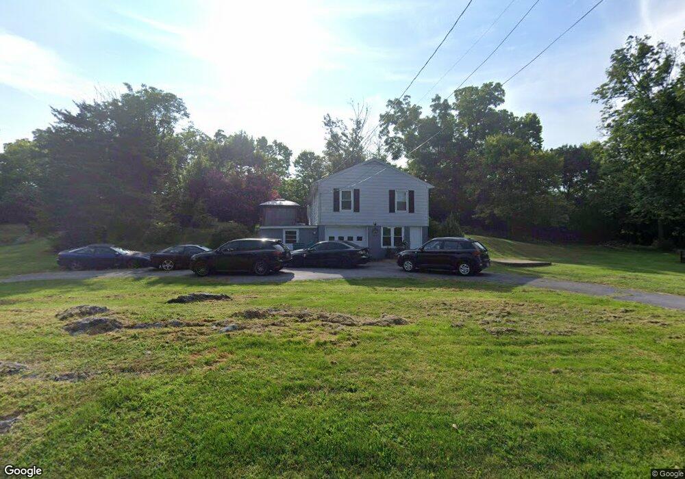
14109 Stone Ridge Ln Maugansville, MD 21767
Maugansville NeighborhoodEstimated Value: $226,000 - $282,000
--
Bed
2
Baths
1,040
Sq Ft
$236/Sq Ft
Est. Value
About This Home
This home is located at 14109 Stone Ridge Ln, Maugansville, MD 21767 and is currently estimated at $245,626, approximately $236 per square foot. 14109 Stone Ridge Ln is a home located in Washington County with nearby schools including Maugansville Elementary School, Owendale-Gagetown Junior/Senior High School, and Western Heights Middle School.
Ownership History
Date
Name
Owned For
Owner Type
Purchase Details
Closed on
Dec 22, 2015
Sold by
Shaffer Edsel G and Shaffer Naomi G
Bought by
Seeders Michael A
Current Estimated Value
Home Financials for this Owner
Home Financials are based on the most recent Mortgage that was taken out on this home.
Original Mortgage
$5,000
Outstanding Balance
$3,977
Interest Rate
3.96%
Mortgage Type
Future Advance Clause Open End Mortgage
Estimated Equity
$241,649
Purchase Details
Closed on
May 21, 1997
Sold by
Carpenter Margaret E
Bought by
Shaffer Edsel G and Shaffer Naomi G
Create a Home Valuation Report for This Property
The Home Valuation Report is an in-depth analysis detailing your home's value as well as a comparison with similar homes in the area
Home Values in the Area
Average Home Value in this Area
Purchase History
| Date | Buyer | Sale Price | Title Company |
|---|---|---|---|
| Seeders Michael A | $142,000 | Passport Title Services Llc | |
| Shaffer Edsel G | $76,000 | -- |
Source: Public Records
Mortgage History
| Date | Status | Borrower | Loan Amount |
|---|---|---|---|
| Open | Seeders Michael A | $5,000 | |
| Open | Seeders Michael A | $146,015 |
Source: Public Records
Tax History Compared to Growth
Tax History
| Year | Tax Paid | Tax Assessment Tax Assessment Total Assessment is a certain percentage of the fair market value that is determined by local assessors to be the total taxable value of land and additions on the property. | Land | Improvement |
|---|---|---|---|---|
| 2025 | $1,658 | $203,800 | $54,100 | $149,700 |
| 2024 | $1,658 | $183,133 | $0 | $0 |
| 2023 | $1,556 | $162,467 | $0 | $0 |
| 2022 | $1,492 | $141,800 | $54,100 | $87,700 |
| 2021 | $1,484 | $140,100 | $0 | $0 |
| 2020 | $1,484 | $138,400 | $0 | $0 |
| 2019 | $1,438 | $136,700 | $54,100 | $82,600 |
| 2018 | $1,361 | $129,033 | $0 | $0 |
| 2017 | $1,295 | $121,367 | $0 | $0 |
| 2016 | -- | $113,700 | $0 | $0 |
| 2015 | $1,631 | $113,700 | $0 | $0 |
| 2014 | $1,631 | $113,700 | $0 | $0 |
Source: Public Records
Map
Nearby Homes
- 14016 Weaver Ave
- 18023 Alpine Dr
- 14222 Shelby Cir
- 14220 Shelby Cir
- 17937 Leona Ave
- 17804 Alpine Dr
- 18323 Roy Croft Dr
- 18264 Roy Croft Dr
- 13946 Patriot Way
- 14108 William Talcott Ln
- 18619 Donald St
- 18757 Mesa Terrace
- 13409 Chads Terrace
- 13501 Scarlet Sage Ct
- 13802 Delight Dr
- 13702 Pulaski Dr
- 13710 Pulaski Dr
- 13709 Pulaski Dr
- 13818 Pulaski Dr
- 13810 Pulaski Dr Unit 72
- 14106 Stone Ridge Ln
- 18041 Edith Ave
- 18047 Edith Ave
- 14113 Stone Ridge Ln
- 18039 Edith Ave
- 18046 Edith Ave
- 18035 Edith Ave
- 18012 Showalter Rd
- 18033 Edith Ave
- 18044 Edith Ave
- 18039 Showalter Rd
- 14119 Stone Ridge Ln
- 18029 Edith Ave
- 18042 Edith Ave
- 18027 Edith Ave
- 18021 Showalter Rd
- 18023 Edith Ave
- 18027 Showalter Rd
- 18025 Showalter Rd
- 18017 Showalter Rd