1411 Breckenridge Unit 50 West Covina, CA 91791
Estimated Value: $600,000 - $626,751
3
Beds
3
Baths
1,480
Sq Ft
$418/Sq Ft
Est. Value
About This Home
This home is located at 1411 Breckenridge Unit 50, West Covina, CA 91791 and is currently estimated at $617,938, approximately $417 per square foot. 1411 Breckenridge Unit 50 is a home located in Los Angeles County with nearby schools including Merced Elementary School, Hollencrest Middle School, and West Covina High School.
Ownership History
Date
Name
Owned For
Owner Type
Purchase Details
Closed on
Apr 17, 2006
Sold by
Spolansky Jorge Alberto
Bought by
Deleon Roland and Deleon Patty
Current Estimated Value
Home Financials for this Owner
Home Financials are based on the most recent Mortgage that was taken out on this home.
Original Mortgage
$341,600
Outstanding Balance
$196,872
Interest Rate
6.41%
Mortgage Type
Fannie Mae Freddie Mac
Estimated Equity
$421,066
Purchase Details
Closed on
Nov 17, 1999
Sold by
Ngo Ming K
Bought by
Spolansky Jorge Alberto and Schwartz Esther I
Home Financials for this Owner
Home Financials are based on the most recent Mortgage that was taken out on this home.
Original Mortgage
$135,800
Interest Rate
7.82%
Mortgage Type
FHA
Create a Home Valuation Report for This Property
The Home Valuation Report is an in-depth analysis detailing your home's value as well as a comparison with similar homes in the area
Home Values in the Area
Average Home Value in this Area
Purchase History
| Date | Buyer | Sale Price | Title Company |
|---|---|---|---|
| Deleon Roland | $429,000 | New Century Title Company | |
| Spolansky Jorge Alberto | $140,000 | Chicago Title Co |
Source: Public Records
Mortgage History
| Date | Status | Borrower | Loan Amount |
|---|---|---|---|
| Open | Deleon Roland | $341,600 | |
| Previous Owner | Spolansky Jorge Alberto | $135,800 |
Source: Public Records
Tax History Compared to Growth
Tax History
| Year | Tax Paid | Tax Assessment Tax Assessment Total Assessment is a certain percentage of the fair market value that is determined by local assessors to be the total taxable value of land and additions on the property. | Land | Improvement |
|---|---|---|---|---|
| 2025 | $7,033 | $586,246 | $436,617 | $149,629 |
| 2024 | $7,033 | $574,752 | $428,056 | $146,696 |
| 2023 | $6,671 | $563,483 | $419,663 | $143,820 |
| 2022 | $6,733 | $552,435 | $411,435 | $141,000 |
| 2021 | $5,291 | $431,000 | $320,000 | $111,000 |
| 2020 | $5,365 | $431,000 | $320,000 | $111,000 |
| 2019 | $4,954 | $401,000 | $298,000 | $103,000 |
| 2018 | $4,882 | $401,000 | $298,000 | $103,000 |
| 2016 | $4,146 | $356,000 | $265,000 | $91,000 |
| 2015 | $3,906 | $336,000 | $250,400 | $85,600 |
| 2014 | $3,584 | $301,700 | $224,800 | $76,900 |
Source: Public Records
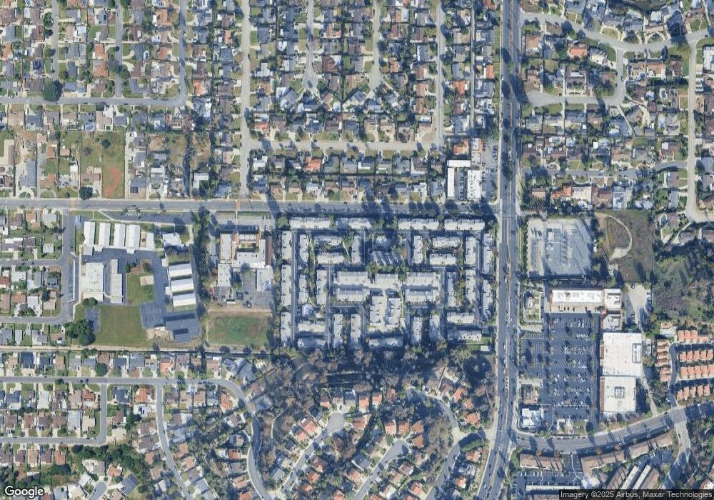
Map
Nearby Homes
- 1694 Bridgeport Unit 99
- 1495 Mccabe Way
- 1450 Westcastle
- 1623 E Francisquito Ave
- 1408 Millcreek
- 1516 Wimbledon Ct
- 1300 S Fleetwell Ave
- 1306 S Cajon Ave
- 17040 E Holton St
- 1635 Park Vista Way
- 2043 Abrazo Dr
- 1512 Seneca Dr
- 1507 Elkwood Dr Unit 61
- 1910 E Calico Dr
- 2059 E Aroma Dr
- 1937 Jacaranda St
- 1408 Queen Summit Dr
- 16645 Holton St
- 1681 Aspen Village Way
- 1515 S Westridge Rd
- 1421 Breckenridge
- 1710 Bridgeport
- 1706 Bridgeport Unit 105
- 1696 Bridgeport
- 1642 Bridgeport
- 1698 Bridgeport
- 1653 Bridgeport
- 1702 Bridgeport
- 1661 Bridgeport Unit 2
- 1644 Bridgeport Unit 48
- 1625 Bridgeport
- 1647 Amberwick Unit 54
- 1640 Bridgeport
- 1621 Bridgeport
- 1405 Breckenridge
- 1706 Bridgeport
- 1704 Bridgeport
- 1688 Bridgeport
- 1651 Amberwick Unit 53
- 1415 Breckenridge