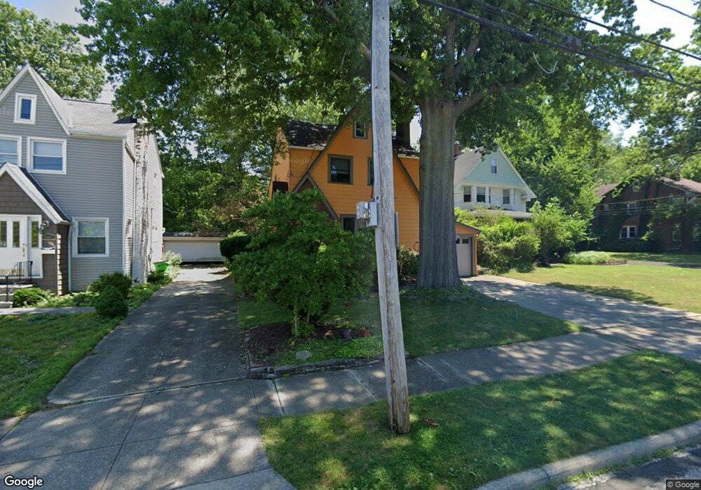
1411 Dill Rd Cleveland, OH 44121
Estimated Value: $154,906 - $192,000
3
Beds
1
Bath
1,252
Sq Ft
$136/Sq Ft
Est. Value
About This Home
This home is located at 1411 Dill Rd, Cleveland, OH 44121 and is currently estimated at $170,227, approximately $135 per square foot. 1411 Dill Rd is a home located in Cuyahoga County with nearby schools including Rowland Elementary School, Greenview Upper Elementary School, and Memorial Junior High School.
Ownership History
Date
Name
Owned For
Owner Type
Purchase Details
Closed on
Apr 30, 2012
Sold by
Dudik Laurie A
Bought by
Lewis Wendy S
Current Estimated Value
Home Financials for this Owner
Home Financials are based on the most recent Mortgage that was taken out on this home.
Original Mortgage
$77,484
Outstanding Balance
$10,618
Interest Rate
3.3%
Mortgage Type
FHA
Estimated Equity
$159,609
Purchase Details
Closed on
Jul 24, 1998
Sold by
Lippmann Dennis F and Lippmann Janet S
Bought by
Dudik Laurie A
Home Financials for this Owner
Home Financials are based on the most recent Mortgage that was taken out on this home.
Original Mortgage
$100,000
Interest Rate
7.03%
Purchase Details
Closed on
Feb 27, 1987
Sold by
Piunno Walter C and Piunno Frances A
Bought by
Lippmann Dennis F and Lippmann Janet S
Purchase Details
Closed on
Jan 1, 1975
Bought by
Piunno Walter C and Piunno Frances A
Create a Home Valuation Report for This Property
The Home Valuation Report is an in-depth analysis detailing your home's value as well as a comparison with similar homes in the area
Home Values in the Area
Average Home Value in this Area
Purchase History
| Date | Buyer | Sale Price | Title Company |
|---|---|---|---|
| Lewis Wendy S | $79,500 | Liberty | |
| Dudik Laurie A | $110,000 | Title Xperts Agency Inc | |
| Lippmann Dennis F | $67,000 | -- | |
| Piunno Walter C | -- | -- |
Source: Public Records
Mortgage History
| Date | Status | Borrower | Loan Amount |
|---|---|---|---|
| Open | Lewis Wendy S | $77,484 | |
| Previous Owner | Dudik Laurie A | $100,000 |
Source: Public Records
Tax History Compared to Growth
Tax History
| Year | Tax Paid | Tax Assessment Tax Assessment Total Assessment is a certain percentage of the fair market value that is determined by local assessors to be the total taxable value of land and additions on the property. | Land | Improvement |
|---|---|---|---|---|
| 2024 | $3,721 | $48,020 | $7,595 | $40,425 |
| 2023 | $3,384 | $35,250 | $5,780 | $29,470 |
| 2022 | $3,366 | $35,245 | $5,775 | $29,470 |
| 2021 | $3,341 | $35,250 | $5,780 | $29,470 |
| 2020 | $3,299 | $30,380 | $4,970 | $25,410 |
| 2019 | $3,015 | $86,800 | $14,200 | $72,600 |
| 2018 | $3,000 | $30,380 | $4,970 | $25,410 |
| 2017 | $3,387 | $31,790 | $4,730 | $27,060 |
| 2016 | $3,366 | $31,790 | $4,730 | $27,060 |
| 2015 | $3,265 | $31,790 | $4,730 | $27,060 |
| 2014 | $3,265 | $31,790 | $4,730 | $27,060 |
Source: Public Records
Map
Nearby Homes
- 1503 Oakmount Rd
- 4685 Mayfield Rd Unit F
- 1419 Victory Dr
- 4695 Mayfield Rd Unit A
- 4493 Telhurst Rd
- 4705 Mayfield Rd Unit B
- 4650 Liberty Rd
- 1514 Garden Dr
- 4410 Ardmore Rd
- 4669 Liberty Rd
- 4514 E Berwald Rd
- 1512 Parkside Cir
- 4800 Farnhurst Rd
- 1539 Sheffield Rd
- 4406 Elmwood Rd
- 1400 Francis Ct
- 4852 Edsal Dr
- 0 S Belvoir Blvd Unit 5096678
- 1519 Laclede Rd
- 4781 Dorshwood Rd