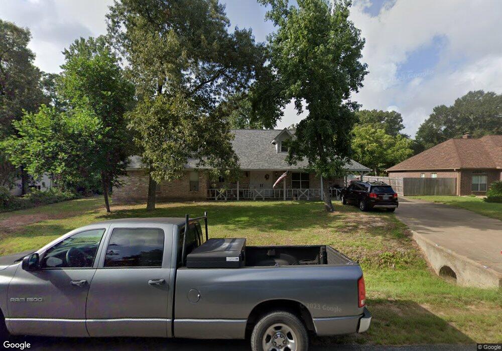
14111 Carneswood Dr Tomball, TX 77375
Estimated Value: $313,061 - $358,000
2
Beds
2
Baths
2,035
Sq Ft
$166/Sq Ft
Est. Value
About This Home
This home is located at 14111 Carneswood Dr, Tomball, TX 77375 and is currently estimated at $337,265, approximately $165 per square foot. 14111 Carneswood Dr is a home located in Harris County with nearby schools including Tomball Elementary School, Tomball Intermediate School, and Tomball Junior High School.
Ownership History
Date
Name
Owned For
Owner Type
Purchase Details
Closed on
Apr 23, 2015
Sold by
Fleming Jeri J and Fleming Jeri Jean
Bought by
Sereno Frank D and Sereno Joyce
Current Estimated Value
Home Financials for this Owner
Home Financials are based on the most recent Mortgage that was taken out on this home.
Original Mortgage
$105,000
Outstanding Balance
$80,831
Interest Rate
3.74%
Mortgage Type
New Conventional
Estimated Equity
$256,434
Purchase Details
Closed on
Jul 13, 1998
Sold by
Escott Jeri Jean
Bought by
Escott Jeri Jean
Purchase Details
Closed on
Nov 17, 1993
Sold by
Fleming Jeri J
Bought by
Fleming E Dean and Fleming Ruby N
Create a Home Valuation Report for This Property
The Home Valuation Report is an in-depth analysis detailing your home's value as well as a comparison with similar homes in the area
Home Values in the Area
Average Home Value in this Area
Purchase History
| Date | Buyer | Sale Price | Title Company |
|---|---|---|---|
| Sereno Frank D | -- | Old Republic National Title | |
| Escott Jeri Jean | -- | -- | |
| Fleming E Dean | -- | -- |
Source: Public Records
Mortgage History
| Date | Status | Borrower | Loan Amount |
|---|---|---|---|
| Open | Sereno Frank D | $105,000 |
Source: Public Records
Tax History Compared to Growth
Tax History
| Year | Tax Paid | Tax Assessment Tax Assessment Total Assessment is a certain percentage of the fair market value that is determined by local assessors to be the total taxable value of land and additions on the property. | Land | Improvement |
|---|---|---|---|---|
| 2025 | $3,076 | $326,889 | $55,544 | $271,345 |
| 2024 | $3,076 | $326,889 | $55,544 | $271,345 |
| 2023 | $3,076 | $312,093 | $51,041 | $261,052 |
| 2022 | $5,732 | $259,006 | $42,784 | $216,222 |
| 2021 | $5,483 | $231,190 | $37,530 | $193,660 |
| 2020 | $5,208 | $212,327 | $37,530 | $174,797 |
| 2019 | $5,356 | $212,327 | $31,525 | $180,802 |
| 2018 | $2,658 | $223,341 | $31,525 | $191,816 |
| 2017 | $5,628 | $223,341 | $31,525 | $191,816 |
| 2016 | $4,993 | $198,126 | $31,525 | $166,601 |
| 2015 | $4,672 | $189,873 | $31,525 | $158,348 |
| 2014 | $4,672 | $183,556 | $31,525 | $152,031 |
Source: Public Records
Map
Nearby Homes
- 14123 Spring Pines Dr
- 11211 Stirton Dr
- 11235 Stirton Dr
- 14219 Turnervine Dr
- 14222 Spring Pines Dr
- 1319 Pine Trail
- 14210 Altair Dr
- 1302 Pine Trail
- 1310 Big Pines
- 1315 Big Pines
- 930 Arbor Pine
- 1314 Pine Brook
- 14134 Pollux Ct
- 31318 Bearing Star Ln
- 31335 Bearing Star Ln
- 29507 Cedar Elm Way
- 31407 Bearing Star Ln
- 31410 Bearing Star Ln
- 1602 Alpine Dr
- 28102 Linda Ln
- 14103 Carneswood Dr
- 14119 Carneswood Dr
- 14102 Buckingham Ln
- 14118 Buckingham Ln
- 14127 Carneswood Dr
- 14106 Carneswood Dr
- 14120 Carneswood Dr
- 14126 Carneswood Ln
- 14126 Carneswood Dr
- 14128 Buckingham Ln
- 14135 Carneswood Dr
- 30014 Wickford Dr
- 30103 Wickford Dr
- 14119 Buckingham Ln
- 14134 Carneswood Dr
- 14111 Limerick Ln
- 14103 Limerick Ln
- 14111 Buckingham Ln
- 14127 Limerick Ln
- 30210 Wickford Dr