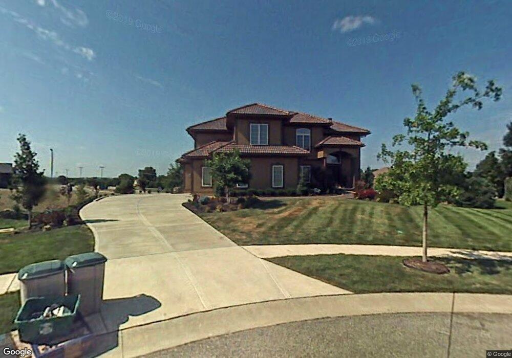
14112 Howe Dr Overland Park, KS 66224
Estimated Value: $816,765 - $1,006,000
4
Beds
4
Baths
3,966
Sq Ft
$230/Sq Ft
Est. Value
About This Home
This home is located at 14112 Howe Dr, Overland Park, KS 66224 and is currently estimated at $912,941, approximately $230 per square foot. 14112 Howe Dr is a home located in Johnson County with nearby schools including Prairie Star Elementary School, Prairie Star Middle School, and Blue Valley High School.
Ownership History
Date
Name
Owned For
Owner Type
Purchase Details
Closed on
Feb 22, 2004
Sold by
Mission Prairie Llc
Bought by
J Right Inc
Current Estimated Value
Home Financials for this Owner
Home Financials are based on the most recent Mortgage that was taken out on this home.
Original Mortgage
$340,000
Outstanding Balance
$157,796
Interest Rate
5.68%
Mortgage Type
Construction
Estimated Equity
$755,145
Create a Home Valuation Report for This Property
The Home Valuation Report is an in-depth analysis detailing your home's value as well as a comparison with similar homes in the area
Home Values in the Area
Average Home Value in this Area
Purchase History
| Date | Buyer | Sale Price | Title Company |
|---|---|---|---|
| J Right Inc | -- | Security Land Title Company |
Source: Public Records
Mortgage History
| Date | Status | Borrower | Loan Amount |
|---|---|---|---|
| Open | J Right Inc | $340,000 |
Source: Public Records
Tax History Compared to Growth
Tax History
| Year | Tax Paid | Tax Assessment Tax Assessment Total Assessment is a certain percentage of the fair market value that is determined by local assessors to be the total taxable value of land and additions on the property. | Land | Improvement |
|---|---|---|---|---|
| 2024 | $9,693 | $86,756 | $16,512 | $70,244 |
| 2023 | $9,203 | $81,432 | $16,512 | $64,920 |
| 2022 | $8,749 | $75,785 | $16,512 | $59,273 |
| 2021 | $8,377 | $69,357 | $16,512 | $52,845 |
| 2020 | $8,460 | $68,632 | $16,512 | $52,120 |
| 2019 | $8,178 | $65,171 | $16,512 | $48,659 |
| 2018 | $7,888 | $61,743 | $15,013 | $46,730 |
| 2017 | $8,749 | $67,298 | $13,648 | $53,650 |
| 2016 | $7,866 | $60,605 | $11,377 | $49,228 |
| 2015 | $7,739 | $58,903 | $10,347 | $48,556 |
| 2013 | -- | $54,774 | $9,401 | $45,373 |
Source: Public Records
Map
Nearby Homes
- 3905 W 142nd Dr
- 3849 W 139th Terrace
- 14200 Windsor St
- 3556 W 143rd Terrace
- 13804 Alhambra St
- 4520 W 140th St
- 3811 W 138th St
- 4512 W 139th St
- 0 Mission Rd Unit HMS2528409
- 14420 Mission Rd
- 13810 Howe Ln
- 13806 Howe Ln
- 13802 Howe Ln
- 13801 Howe Ln
- 14549 Windsor Dr
- 4419 W 137th St
- 3903 W 158th Terrace
- 14004 Linden St
- 13614 Granada Dr
- 13611 Granada Dr
- 14108 Howe Dr
- 14119 Howe Dr
- 14104 Howe Dr
- 14115 Howe Dr
- 14111 Howe Dr
- 3900 W 142nd Dr
- 14100 Howe Dr
- 14116 Mohawk Rd
- 3901 W 141st Dr
- 14107 Howe Dr
- 14119 Mohawk Rd
- 3904 W 142nd Dr
- 3715 W 141st St
- 14103 Howe Dr
- 3903 W 141st Dr
- 14200 Mission Rd
- 3728 W 141st St
- 3711 W 141st St
- 14108 Mohawk Rd
- 3719 W 141st St