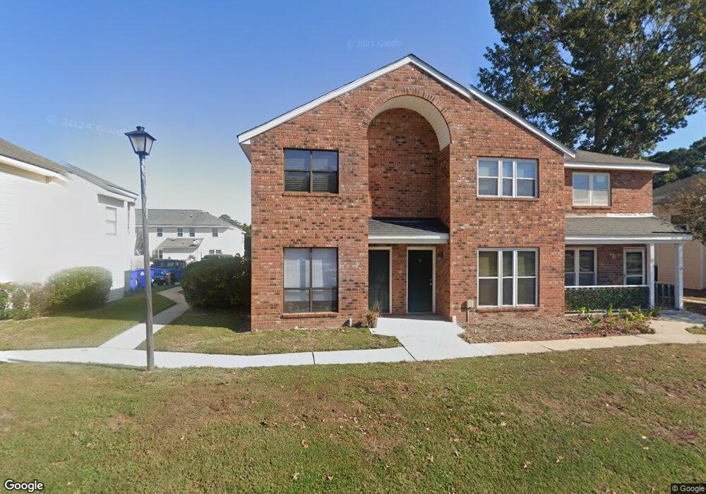
1412 Camp Rd Unit C Charleston, SC 29412
James Island NeighborhoodEstimated Value: $267,000 - $293,000
2
Beds
2
Baths
1,073
Sq Ft
$259/Sq Ft
Est. Value
About This Home
This home is located at 1412 Camp Rd Unit C, Charleston, SC 29412 and is currently estimated at $278,287, approximately $259 per square foot. 1412 Camp Rd Unit C is a home located in Charleston County with nearby schools including Harbor View Elementary School, Camp Road Middle, and James Island Charter High School.
Ownership History
Date
Name
Owned For
Owner Type
Purchase Details
Closed on
Sep 29, 2014
Sold by
Ulichnie April and Martel Carolyn L
Bought by
Turner Thomas B and Turner Karen S
Current Estimated Value
Home Financials for this Owner
Home Financials are based on the most recent Mortgage that was taken out on this home.
Original Mortgage
$85,500
Outstanding Balance
$65,908
Interest Rate
4.25%
Mortgage Type
Adjustable Rate Mortgage/ARM
Estimated Equity
$212,379
Purchase Details
Closed on
May 13, 2009
Sold by
Lavender Larry
Bought by
Martel Normand J and Martel Carolyn L
Create a Home Valuation Report for This Property
The Home Valuation Report is an in-depth analysis detailing your home's value as well as a comparison with similar homes in the area
Home Values in the Area
Average Home Value in this Area
Purchase History
| Date | Buyer | Sale Price | Title Company |
|---|---|---|---|
| Turner Thomas B | $114,000 | -- | |
| Martel Normand J | $81,000 | -- |
Source: Public Records
Mortgage History
| Date | Status | Borrower | Loan Amount |
|---|---|---|---|
| Open | Turner Thomas B | $85,500 |
Source: Public Records
Tax History Compared to Growth
Tax History
| Year | Tax Paid | Tax Assessment Tax Assessment Total Assessment is a certain percentage of the fair market value that is determined by local assessors to be the total taxable value of land and additions on the property. | Land | Improvement |
|---|---|---|---|---|
| 2024 | $2,382 | $7,870 | $0 | $0 |
| 2023 | $2,382 | $7,870 | $0 | $0 |
| 2022 | $2,177 | $7,870 | $0 | $0 |
| 2021 | $2,151 | $7,870 | $0 | $0 |
| 2020 | $2,136 | $7,870 | $0 | $0 |
| 2019 | $1,957 | $6,840 | $0 | $0 |
| 2017 | $1,872 | $6,840 | $0 | $0 |
| 2016 | $1,814 | $6,840 | $0 | $0 |
| 2015 | $1,734 | $6,840 | $0 | $0 |
| 2014 | $506 | $0 | $0 | $0 |
| 2011 | -- | $0 | $0 | $0 |
Source: Public Records
Map
Nearby Homes
- 1453 Camp Rd
- 1418 Kentwood Cir
- 1 S Anderson Ave
- 17 S Anderson Ave Unit A,B,C, D
- 1402 Camp Rd Unit 5E
- 1402 Camp Rd Unit 6E
- 1402 Camp Rd Unit 1H
- 1402 Camp Rd Unit 8B
- 1402 Camp Rd Unit 9C
- 1402 Camp Rd Unit 12F
- 1014 Arborwood Dr
- 1 Maplecrest Dr
- 14 Maplecrest Dr
- 9 Maplecrest Dr
- 27 Brockman Dr Unit 27B
- 27 Brockman Dr Unit 27C
- 1359 White House Blvd
- 1 Willingham Ct
- 1030 Pauline Ave
- 50 Held Cir Unit C
- 1412 Camp Rd Unit B
- 1412 Camp Rd Unit H
- 1412 Camp Rd Unit A
- 1412 Camp Rd
- 1412 Camp Rd Unit 32
- 1416 Camp Rd
- 1416 Camp Rd Unit D
- 1416 Camp Rd Unit C
- 1416 Camp Rd Unit B
- 1416 Camp Rd Unit A
- 1408 Camp Rd
- 1408 Camp Rd Unit C
- 1408 Camp Rd Unit B
- 1408 Camp Rd Unit A
- 1408 Camp Rd Unit 38
- 1408 Camp Rd
- 1408 Camp Rd Unit D
- 1408 Camp Rd Unit 36
- 1407 Dove Run Dr Unit D
- 1407 Dove Run Dr Unit C