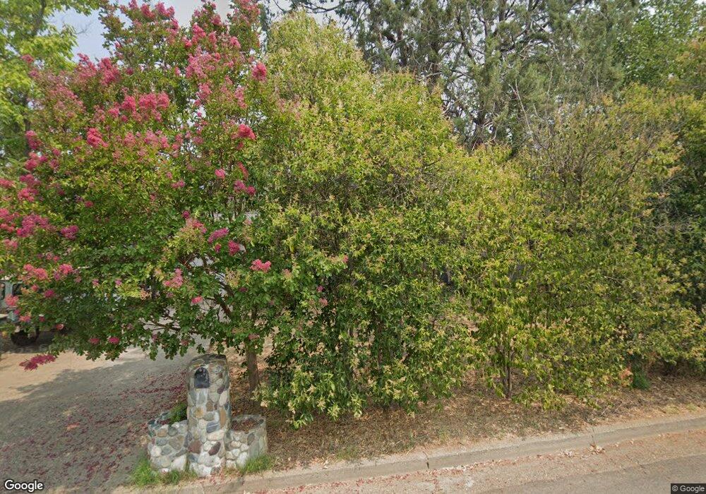
1412 Carter Way Redding, CA 96002
Mistletoe NeighborhoodEstimated Value: $350,000 - $422,000
3
Beds
2
Baths
1,700
Sq Ft
$226/Sq Ft
Est. Value
About This Home
This home is located at 1412 Carter Way, Redding, CA 96002 and is currently estimated at $385,047, approximately $226 per square foot. 1412 Carter Way is a home located in Shasta County with nearby schools including Mistletoe Elementary School, Enterprise High School, and Montessori Children's House of Shady Oaks.
Ownership History
Date
Name
Owned For
Owner Type
Purchase Details
Closed on
Aug 26, 2015
Sold by
Forsman Stanley F
Bought by
The Forsman Family Trust Of 2015 and Forsman Coleen A
Current Estimated Value
Purchase Details
Closed on
May 15, 2007
Sold by
Forsman Coleen A
Bought by
Forsman Stanley F
Home Financials for this Owner
Home Financials are based on the most recent Mortgage that was taken out on this home.
Original Mortgage
$235,500
Outstanding Balance
$159,572
Interest Rate
8.37%
Mortgage Type
New Conventional
Estimated Equity
$225,475
Purchase Details
Closed on
Jun 9, 2005
Sold by
Forsman Coleen A
Bought by
Forsman Stanley F and Forsman Coleen A
Home Financials for this Owner
Home Financials are based on the most recent Mortgage that was taken out on this home.
Original Mortgage
$109,000
Interest Rate
5.72%
Mortgage Type
New Conventional
Purchase Details
Closed on
Mar 22, 2002
Sold by
Forsman Stanley F
Bought by
Forsman Coleen A
Home Financials for this Owner
Home Financials are based on the most recent Mortgage that was taken out on this home.
Original Mortgage
$75,000
Interest Rate
7.25%
Purchase Details
Closed on
Feb 21, 2001
Sold by
Miller Bonnie J
Bought by
Forsman Stanley F and Forsman Coleen A
Home Financials for this Owner
Home Financials are based on the most recent Mortgage that was taken out on this home.
Original Mortgage
$60,000
Interest Rate
6.98%
Purchase Details
Closed on
Jun 22, 1998
Sold by
Derousseau Robin
Bought by
Miller Bonnie J
Home Financials for this Owner
Home Financials are based on the most recent Mortgage that was taken out on this home.
Original Mortgage
$123,700
Interest Rate
7.17%
Purchase Details
Closed on
Jan 24, 1997
Sold by
Prince Donald R
Bought by
Derousseau Robin and Prince Robin
Purchase Details
Closed on
Jan 23, 1997
Sold by
Prince Donald
Bought by
Derousseau Robin and Prince Robin
Create a Home Valuation Report for This Property
The Home Valuation Report is an in-depth analysis detailing your home's value as well as a comparison with similar homes in the area
Home Values in the Area
Average Home Value in this Area
Purchase History
| Date | Buyer | Sale Price | Title Company |
|---|---|---|---|
| The Forsman Family Trust Of 2015 | -- | None Available | |
| Forsman Stanley F | -- | First American Title Co | |
| Forsman Stanley F | -- | First American Title Co | |
| Forsman Coleen A | -- | Alliance Title Company | |
| Forsman Stanley F | $167,000 | Alliance Title Company | |
| Miller Bonnie J | $137,500 | Placer Title Company | |
| Derousseau Robin | -- | Chicago Title Co | |
| Derousseau Robin | -- | Chicago Title Co |
Source: Public Records
Mortgage History
| Date | Status | Borrower | Loan Amount |
|---|---|---|---|
| Open | Forsman Stanley F | $235,500 | |
| Closed | Forsman Stanley F | $109,000 | |
| Closed | Forsman Coleen A | $75,000 | |
| Closed | Forsman Stanley F | $60,000 | |
| Previous Owner | Miller Bonnie J | $123,700 |
Source: Public Records
Tax History Compared to Growth
Tax History
| Year | Tax Paid | Tax Assessment Tax Assessment Total Assessment is a certain percentage of the fair market value that is determined by local assessors to be the total taxable value of land and additions on the property. | Land | Improvement |
|---|---|---|---|---|
| 2025 | $2,663 | $251,618 | $42,178 | $209,440 |
| 2024 | $2,625 | $246,685 | $41,351 | $205,334 |
| 2023 | $2,625 | $241,849 | $40,541 | $201,308 |
| 2022 | $2,549 | $237,108 | $39,747 | $197,361 |
| 2021 | $2,461 | $232,460 | $38,968 | $193,492 |
| 2020 | $2,450 | $230,077 | $38,569 | $191,508 |
| 2019 | $2,428 | $225,566 | $37,813 | $187,753 |
| 2018 | $2,399 | $221,144 | $37,072 | $184,072 |
| 2017 | $2,440 | $216,809 | $36,346 | $180,463 |
| 2016 | $2,281 | $212,559 | $35,634 | $176,925 |
| 2015 | $2,261 | $209,367 | $35,099 | $174,268 |
| 2014 | $2,244 | $205,267 | $34,412 | $170,855 |
Source: Public Records
Map
Nearby Homes
- 1939 Cameo Ct
- 1261 Woodside Meadows Dr
- 1271 Mistletoe Ln
- 1988 Shasta Pines Way
- 2164 Oxford Rd
- 1565 Becky Way
- 2093 Victor Ave
- 1285 Lancers Ln
- 1535 E Cypress Ave
- 1891 Edgewood Dr
- 2022 Tarmac Rd
- 2030 Hedgerow Ave
- 1221 E Cypress Ave Unit 48
- 1221 E Cypress Ave Unit 67
- 1221 E Cypress Ave Unit 93
- 2574 Yana Ave
- 1968 Bechelli Ln
- 2820 Alfreda Way
- 2293 Milano Trail
- 1945 Salzburg Trail
- 1430 Carter Way
- 1394 Carter Way
- 1325 Dusty Ln
- 1295 Dusty Ln
- 1372 Carter Way
- 1375 Dusty Ln Unit ONE
- 1375 Dusty Ln
- 1289 Dusty Ln
- 1417 Carter Way
- 1395 Carter Way
- 1433 Carter Way
- 1401 Dusty Ln
- 1464 Carter Way
- 1283 Dusty Ln
- 1451 Carter Way
- 1373 Carter Way
- 1350 Carter Way
- 1467 Carter Way
- 1445 Dusty Ln
- 1279 Dusty Ln
