1412 Old Farm Rd Unit B Champaign, IL 61821
Bolten Field NeighborhoodEstimated Value: $292,000 - $326,000
--
Bed
2
Baths
1,542
Sq Ft
$202/Sq Ft
Est. Value
About This Home
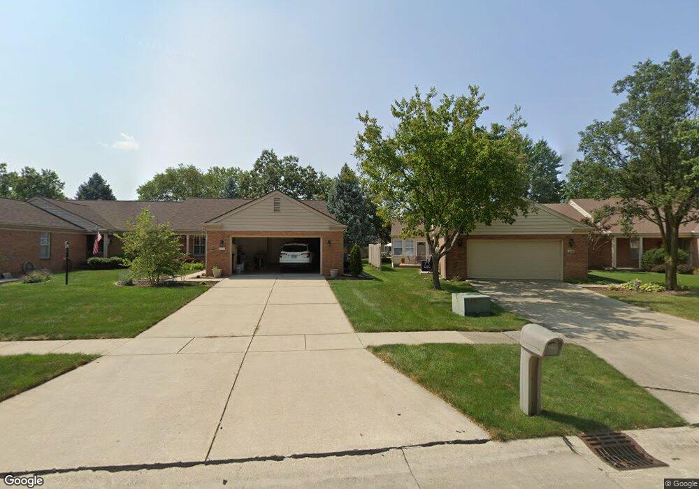
This home is located at 1412 Old Farm Rd Unit B, Champaign, IL 61821 and is currently estimated at $311,578, approximately $202 per square foot. 1412 Old Farm Rd Unit B is a home located in Champaign County with nearby schools including Central High School, Montessori Habitat School, and Next Generation School.
Ownership History
Date
Name
Owned For
Owner Type
Purchase Details
Closed on
Sep 30, 2011
Sold by
Seed Robert E
Bought by
Reed Marvin R and Reed Carolyn N
Current Estimated Value
Home Financials for this Owner
Home Financials are based on the most recent Mortgage that was taken out on this home.
Original Mortgage
$148,000
Outstanding Balance
$100,396
Interest Rate
4.14%
Mortgage Type
New Conventional
Estimated Equity
$211,182
Create a Home Valuation Report for This Property
The Home Valuation Report is an in-depth analysis detailing your home's value as well as a comparison with similar homes in the area
Home Values in the Area
Average Home Value in this Area
Purchase History
| Date | Buyer | Sale Price | Title Company |
|---|---|---|---|
| Reed Marvin R | $190,000 | None Available |
Source: Public Records
Mortgage History
| Date | Status | Borrower | Loan Amount |
|---|---|---|---|
| Open | Reed Marvin R | $148,000 |
Source: Public Records
Tax History Compared to Growth
Tax History
| Year | Tax Paid | Tax Assessment Tax Assessment Total Assessment is a certain percentage of the fair market value that is determined by local assessors to be the total taxable value of land and additions on the property. | Land | Improvement |
|---|---|---|---|---|
| 2024 | $6,120 | $86,590 | $20,400 | $66,190 |
| 2023 | $6,120 | $78,860 | $18,580 | $60,280 |
| 2022 | $5,678 | $72,750 | $17,140 | $55,610 |
| 2021 | $4,812 | $71,320 | $16,800 | $54,520 |
| 2020 | $5,278 | $68,570 | $16,150 | $52,420 |
| 2019 | $4,762 | $67,160 | $15,820 | $51,340 |
| 2018 | $4,730 | $66,100 | $15,570 | $50,530 |
| 2017 | $4,749 | $63,560 | $14,970 | $48,590 |
| 2016 | $4,128 | $62,250 | $14,660 | $47,590 |
| 2015 | $4,142 | $61,150 | $14,400 | $46,750 |
| 2014 | $4,106 | $61,150 | $14,400 | $46,750 |
| 2013 | $4,069 | $61,150 | $14,400 | $46,750 |
Source: Public Records
Map
Nearby Homes
- 1901 Lakeside Dr Unit B
- 1318 Broadmoor Dr
- 2002 O Donnell Dr
- 2001 S Mattis Ave Unit E
- 2144 Harbortown Cir Unit 2144
- 1205 Broadmoor Dr
- 2113 Sunview Dr
- 1612 W Kirby Ave
- 1908 Barberry Cir
- 1202 Foothill Dr
- 1725 Lincoln Place
- 1420 S Western Ave
- 1928 Blackthorn Dr Unit 1
- 1901 Branch Rd
- 1410 S Mattis Ave
- 7 McDonald Ct
- 2003 W Kirby Ave
- 1106 W Kirby Ave
- 1801 Crescent Dr
- 2302 Blackthorn Dr
- 1412 Old Farm Rd Unit A
- 1414 Old Farm Rd Unit B
- 1414 Old Farm Rd Unit A
- 1414A Old Farm Rd
- 1410 Old Farm Rd Unit A
- 1410 Old Farm Rd Unit B
- 1806 Lakeside Dr Unit C
- 1806 Lakeside Dr Unit B
- 1806 Lakeside Dr Unit A
- 1808B Lakeside Dr
- 1407 Old Farm Rd Unit B
- 1407 Old Farm Rd Unit A
- 1808 Lakeside Dr Unit C
- 1808 Lakeside Dr Unit B
- 1413 Weathervane Dr Unit B
- 1413 Weathervane Dr Unit A
- 1413 Weathervane Dr
- 1804 Lakeside Dr Unit C
- 1804 Lakeside Dr Unit B