14121 Cofield Ln Doswell, VA 23047
Estimated Value: $525,000 - $627,000
3
Beds
3
Baths
1,956
Sq Ft
$300/Sq Ft
Est. Value
About This Home
This home is located at 14121 Cofield Ln, Doswell, VA 23047 and is currently estimated at $586,211, approximately $299 per square foot. 14121 Cofield Ln is a home located in Hanover County with nearby schools including South Anna Elementary School, Liberty Middle School, and Patrick Henry High School.
Ownership History
Date
Name
Owned For
Owner Type
Purchase Details
Closed on
Jun 24, 2015
Sold by
Wright Jean D
Bought by
Boor Anthony M
Current Estimated Value
Home Financials for this Owner
Home Financials are based on the most recent Mortgage that was taken out on this home.
Original Mortgage
$265,500
Outstanding Balance
$207,527
Interest Rate
4.01%
Mortgage Type
New Conventional
Estimated Equity
$378,684
Create a Home Valuation Report for This Property
The Home Valuation Report is an in-depth analysis detailing your home's value as well as a comparison with similar homes in the area
Home Values in the Area
Average Home Value in this Area
Purchase History
| Date | Buyer | Sale Price | Title Company |
|---|---|---|---|
| Boor Anthony M | $295,000 | -- |
Source: Public Records
Mortgage History
| Date | Status | Borrower | Loan Amount |
|---|---|---|---|
| Open | Boor Anthony M | $265,500 |
Source: Public Records
Tax History Compared to Growth
Tax History
| Year | Tax Paid | Tax Assessment Tax Assessment Total Assessment is a certain percentage of the fair market value that is determined by local assessors to be the total taxable value of land and additions on the property. | Land | Improvement |
|---|---|---|---|---|
| 2025 | $4,170 | $514,800 | $214,000 | $300,800 |
| 2024 | $3,912 | $483,000 | $193,700 | $289,300 |
| 2023 | $3,238 | $420,500 | $168,400 | $252,100 |
| 2022 | $2,912 | $359,500 | $148,300 | $211,200 |
| 2021 | $2,816 | $347,700 | $148,300 | $199,400 |
| 2020 | $2,620 | $323,500 | $143,300 | $180,200 |
| 2019 | $2,620 | $323,500 | $143,300 | $180,200 |
| 2018 | $2,620 | $323,500 | $143,300 | $180,200 |
| 2017 | $2,557 | $315,700 | $142,700 | $173,000 |
| 2016 | $2,557 | $315,700 | $142,700 | $173,000 |
| 2015 | $2,557 | $315,700 | $142,700 | $173,000 |
| 2014 | -- | $315,700 | $142,700 | $173,000 |
Source: Public Records
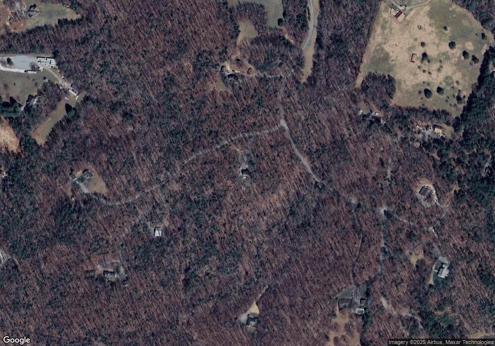
Map
Nearby Homes
- 1234 Whitewood Ln
- 15035 Whitewood Ln
- 14198 Windmill Dr
- 14431 Lightfoot Ct
- 14439 Lightfoot Ct
- 14151 Carterlynn Way
- 14334 Three Oaks Ln
- 15194 Johns Trace Cir
- 15179 Johns Trace Cir
- 15253 Johns Trace Cir
- Lochbriar Plan at Millwood Landing
- Somerset Plan at Millwood Landing
- Heatherworth Plan at Millwood Landing
- Bainworth Plan at Millwood Landing
- Middleton Plan at Millwood Landing
- Hawksmoor Plan at Millwood Landing
- 15124 Johns Trace Cir
- 14270 Tower Rd
- 14009 Tribe Ln
- The Highland Plan at Scotchtown Estates
- 14497 Kings Grant Ln
- 14416 Kings Grant Ln
- 14465 Kings Grant Ln
- 14152 Cofield Ln
- 14151 Cofield Ln
- 0 Kings Grant Ln Unit 1002842
- 0 Kings Grant Ln Unit 1114736
- 0 Kings Grant Ln Unit 2743596
- 0 Kings Grant Ln Unit 2743605
- 0 Kings Grant Ln Unit 2743617
- 0 Kings Grant Ln Unit 2743611
- 0 Kings Grant Ln Unit 2743612
- 0 Kings Grant Ln Unit 2743586
- 0 Kings Grant Ln Unit 2743614
- 14402 Kings Grant Ln
- 14449 Kings Grant Ln
- 14430 King Rd
- 14414 King Rd
- 14362 King Rd
- 14434 Kings Grant Ln