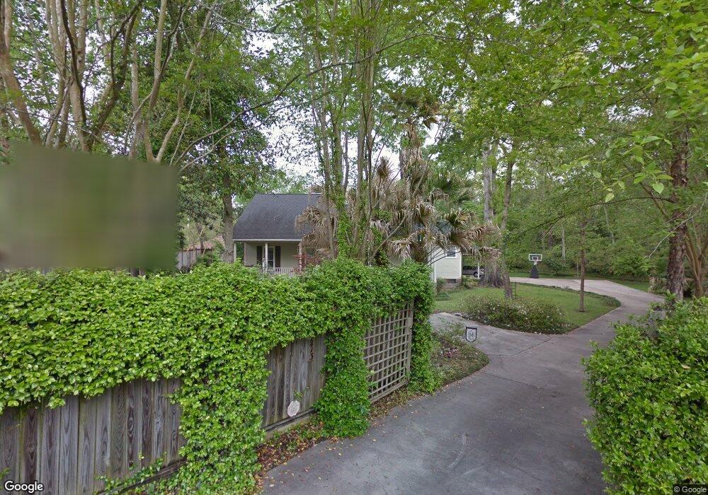
1413 Charlestown Ln Baton Rouge, LA 70808
Highlands/Perkins NeighborhoodEstimated Value: $334,000 - $366,000
3
Beds
2
Baths
1,815
Sq Ft
$191/Sq Ft
Est. Value
About This Home
This home is located at 1413 Charlestown Ln, Baton Rouge, LA 70808 and is currently estimated at $345,772, approximately $190 per square foot. 1413 Charlestown Ln is a home located in East Baton Rouge Parish with nearby schools including Magnolia Woods Elementary School, Glasgow Middle School, and Mckinley Senior High School.
Ownership History
Date
Name
Owned For
Owner Type
Purchase Details
Closed on
May 27, 2005
Sold by
Pinar William F
Bought by
Maynard Timothy S
Current Estimated Value
Home Financials for this Owner
Home Financials are based on the most recent Mortgage that was taken out on this home.
Original Mortgage
$172,800
Outstanding Balance
$90,618
Interest Rate
5.83%
Mortgage Type
New Conventional
Estimated Equity
$255,154
Create a Home Valuation Report for This Property
The Home Valuation Report is an in-depth analysis detailing your home's value as well as a comparison with similar homes in the area
Home Values in the Area
Average Home Value in this Area
Purchase History
| Date | Buyer | Sale Price | Title Company |
|---|---|---|---|
| Maynard Timothy S | $216,000 | -- |
Source: Public Records
Mortgage History
| Date | Status | Borrower | Loan Amount |
|---|---|---|---|
| Open | Maynard Timothy S | $172,800 | |
| Closed | Maynard Timothy S | $32,400 |
Source: Public Records
Tax History Compared to Growth
Tax History
| Year | Tax Paid | Tax Assessment Tax Assessment Total Assessment is a certain percentage of the fair market value that is determined by local assessors to be the total taxable value of land and additions on the property. | Land | Improvement |
|---|---|---|---|---|
| 2024 | $3,187 | $33,947 | $3,696 | $30,251 |
| 2023 | $3,187 | $30,310 | $3,300 | $27,010 |
| 2022 | $3,619 | $30,310 | $3,300 | $27,010 |
| 2021 | $3,536 | $30,310 | $3,300 | $27,010 |
| 2020 | $3,513 | $30,310 | $3,300 | $27,010 |
| 2019 | $2,683 | $22,150 | $3,000 | $19,150 |
| 2018 | $2,649 | $22,150 | $3,000 | $19,150 |
| 2017 | $2,649 | $22,150 | $3,000 | $19,150 |
| 2016 | $1,806 | $22,150 | $3,000 | $19,150 |
| 2015 | $1,744 | $21,600 | $3,000 | $18,600 |
| 2014 | $1,738 | $21,600 | $3,000 | $18,600 |
| 2013 | -- | $21,600 | $3,000 | $18,600 |
Source: Public Records
Map
Nearby Homes
- 1648 Mary Evers Dr
- 1733 Seawolf Dr
- 1715 Seawolf Dr
- 1824 Longfin Dr
- 7649 Silverside Cove Dr
- 1342 Applewood Rd
- 7615 Whitetip Ave
- 1431 Applewood Rd
- 1605 Applewood Rd
- 9017 Stonecroft Ave
- 8932 Southlawn Dr
- 7311 Japonica Ct
- 1758 Applewood Rd
- 1839 Applewood Rd
- 7743 Bles Ave
- 1638 Mary Ellen Dr
- 9535 Hyacinth Ave
- 9587 Chanadia Dr
- 2020 Camellia Trace Dr
- 945 Savanna View Dr
- 1411 Charlestowne Ln
- 1411 Charlestown Ln
- 1299 Kimbro Dr
- 8735 Laurynwood Dr
- 1178 Castle Kirk Dr
- 1164 Castle Kirk Dr
- 1164 Castle Kirk Dr
- 8757 Laurynwood Dr
- 1287 Kimbro Dr
- 8779 Laurynwood Dr
- 1288 Kimbro Dr
- 1156 Castle Kirk Dr
- 1403 Ashley Hall Ln
- 1265 Kimbro Dr
- 1277 Sharynwood Dr
- 8833 Laurynwood Dr
- 1144 Castle Kirk Dr
- 1401 Charlestown Ln
- 1266 Kimbro Dr
- 1243 Kimbro Dr