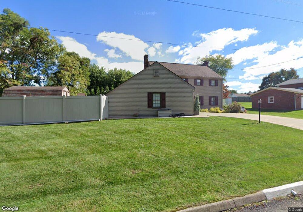
1413 Farragut St Conway, PA 15027
Estimated Value: $282,000 - $1,386,000
4
Beds
2
Baths
2,346
Sq Ft
$352/Sq Ft
Est. Value
About This Home
This home is located at 1413 Farragut St, Conway, PA 15027 and is currently estimated at $825,444, approximately $351 per square foot. 1413 Farragut St is a home located in Beaver County with nearby schools including Freedom Area Elementary School, Freedom Area Middle School, and Freedom Area Senior High School.
Ownership History
Date
Name
Owned For
Owner Type
Purchase Details
Closed on
Sep 30, 1998
Sold by
Sprouse Richard J
Bought by
Keller Edward J
Current Estimated Value
Home Financials for this Owner
Home Financials are based on the most recent Mortgage that was taken out on this home.
Original Mortgage
$75,000
Outstanding Balance
$16,406
Interest Rate
6.89%
Mortgage Type
Purchase Money Mortgage
Estimated Equity
$809,038
Create a Home Valuation Report for This Property
The Home Valuation Report is an in-depth analysis detailing your home's value as well as a comparison with similar homes in the area
Home Values in the Area
Average Home Value in this Area
Purchase History
| Date | Buyer | Sale Price | Title Company |
|---|---|---|---|
| Keller Edward J | $475,000 | -- |
Source: Public Records
Mortgage History
| Date | Status | Borrower | Loan Amount |
|---|---|---|---|
| Open | Keller Edward J | $75,000 |
Source: Public Records
Tax History Compared to Growth
Tax History
| Year | Tax Paid | Tax Assessment Tax Assessment Total Assessment is a certain percentage of the fair market value that is determined by local assessors to be the total taxable value of land and additions on the property. | Land | Improvement |
|---|---|---|---|---|
| 2025 | $932 | $136,100 | $18,650 | $117,450 |
| 2024 | $4,349 | $136,100 | $18,650 | $117,450 |
| 2023 | $5,389 | $43,850 | $4,400 | $39,450 |
| 2022 | $5,236 | $43,850 | $4,400 | $39,450 |
| 2021 | $5,236 | $43,850 | $4,400 | $39,450 |
| 2020 | $4,881 | $43,850 | $4,400 | $39,450 |
| 2019 | $4,881 | $43,850 | $4,400 | $39,450 |
| 2018 | $4,692 | $43,850 | $4,400 | $39,450 |
| 2017 | $4,692 | $43,850 | $4,400 | $39,450 |
| 2016 | $4,280 | $43,850 | $4,400 | $39,450 |
| 2015 | $973 | $43,850 | $4,400 | $39,450 |
| 2014 | $973 | $43,850 | $4,400 | $39,450 |
Source: Public Records
Map
Nearby Homes
- 1517 Foote St
- 1408 4th Ave
- 1401 3rd Ave
- 744 N Gross St
- 1113 Foote St
- 1341 2nd Ave
- 1416 Sampson St
- 1001 7th Ave
- 354 11th St
- 110 13th St
- 1025 Catherine Dr
- 1040 Catherine Dr
- 1001 2nd Ave
- 1079 Catherine Dr
- 500 Conway Wallrose Rd
- 899 19th St
- 149 Shady River Blvd Unit 40 B
- 154 Shady River Blvd
- 328 River Ridge Ct Unit 47B
- 150 Shady River Blvd Unit 56A
- 1401 Farragut St
- 1412 Dupont St
- 1408 Dupont St
- 1416 Dupont St
- 1404 Dupont St
- 1416 Farragut St
- 1420 Dupont St
- 1400 Dupont St
- LOT 74 Dupont St
- 1424 Dupont St
- 1337 Farragut St
- 1413 Dupont St
- 1409 Dupont St
- 1428 Dupont St
- 1417 Dupont St
- 1336 Farragut St
- 1405 Dupont St
- 1332 Dupont St
- 500 Hiland Ave
- 1401 Dupont St