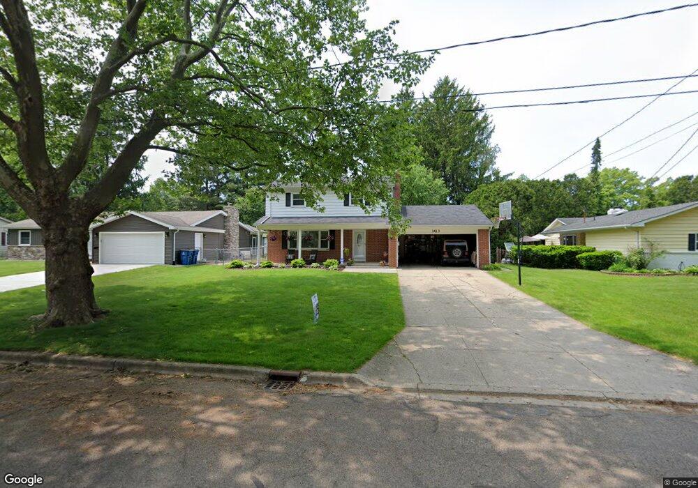
1413 Highgate Rd Kalamazoo, MI 49006
Westwood NeighborhoodEstimated Value: $293,000 - $337,000
4
Beds
2
Baths
1,602
Sq Ft
$197/Sq Ft
Est. Value
About This Home
This home is located at 1413 Highgate Rd, Kalamazoo, MI 49006 and is currently estimated at $316,180, approximately $197 per square foot. 1413 Highgate Rd is a home located in Kalamazoo County with nearby schools including Indian Prairie Elementary School, King-Westwood Elementary School, and Hillside Middle School.
Ownership History
Date
Name
Owned For
Owner Type
Purchase Details
Closed on
May 25, 2016
Sold by
Spada Scott J and Spada Traci K
Bought by
Spada Scott J and Spada Traci K
Current Estimated Value
Home Financials for this Owner
Home Financials are based on the most recent Mortgage that was taken out on this home.
Original Mortgage
$177,000
Outstanding Balance
$13,875
Interest Rate
3.59%
Mortgage Type
New Conventional
Estimated Equity
$302,305
Purchase Details
Closed on
Aug 29, 2003
Sold by
Sundberg Christopher M and Sundberg Nancy K
Bought by
Spada Scott J and Reinholt Traci K
Home Financials for this Owner
Home Financials are based on the most recent Mortgage that was taken out on this home.
Original Mortgage
$156,013
Interest Rate
6.43%
Mortgage Type
FHA
Create a Home Valuation Report for This Property
The Home Valuation Report is an in-depth analysis detailing your home's value as well as a comparison with similar homes in the area
Home Values in the Area
Average Home Value in this Area
Purchase History
| Date | Buyer | Sale Price | Title Company |
|---|---|---|---|
| Spada Scott J | -- | Chicago Title Of Michigan | |
| Spada Scott J | $157,500 | Chicago Title |
Source: Public Records
Mortgage History
| Date | Status | Borrower | Loan Amount |
|---|---|---|---|
| Open | Spada Scott J | $177,000 | |
| Closed | Spada Scott J | $156,013 |
Source: Public Records
Tax History Compared to Growth
Tax History
| Year | Tax Paid | Tax Assessment Tax Assessment Total Assessment is a certain percentage of the fair market value that is determined by local assessors to be the total taxable value of land and additions on the property. | Land | Improvement |
|---|---|---|---|---|
| 2025 | $4,593 | $151,400 | $0 | $0 |
| 2024 | $2,565 | $142,800 | $0 | $0 |
| 2023 | $2,444 | $122,500 | $0 | $0 |
| 2022 | $4,165 | $107,000 | $0 | $0 |
| 2021 | $4,027 | $101,700 | $0 | $0 |
| 2020 | $3,944 | $96,100 | $0 | $0 |
| 2019 | $3,760 | $87,800 | $0 | $0 |
| 2018 | $3,672 | $80,000 | $0 | $0 |
| 2017 | $3,494 | $80,200 | $0 | $0 |
| 2016 | $3,494 | $77,100 | $0 | $0 |
| 2015 | $3,494 | $72,100 | $0 | $0 |
| 2014 | $3,494 | $66,900 | $0 | $0 |
Source: Public Records
Map
Nearby Homes
- 1361 Cherokee St
- 3421 Huron Ave
- 4609 Croyden Ave
- 806 Northampton Rd
- 4021 Londonderry Ave
- 3503 Devonshire Ave
- 1526 Mohawk St
- 3317 Cranbrook Ave
- 3304 Cranbrook Ave
- 2205 Tamrack St
- 1113 Nichols Rd
- 4146 Corvo
- 1702 Harvey Ave
- 902 Coolidge Ave
- 124 Merriweather Ln Unit 3
- V/L Ferndale Ave
- 325 N Kendall Ave
- 2444 Hillsdale Ave
- 2482 Piers End Ct
- 3591 Westhaven Trail Unit 53
- 1407 Highgate Rd
- 1414 Highgate Rd
- 1408 Highgate Rd
- 1419 Highgate Rd
- 1337 Highgate Rd
- 1425 Highgate Rd
- 1420 Highgate Rd
- 1338 Highgate Rd
- 1404 Northampton Rd
- 1333 Highgate Rd
- 1418 Northampton Rd
- 1426 Highgate Rd
- 1412 Northampton Rd
- 1336 Northampton Rd
- 1332 Highgate Rd
- 1420 Northampton Rd
- 4121 Iroquois Trail
- 1325 Highgate Rd
- 1353 Turwill Ln
- 1345 Turwill Ln