14133 Manning St Detroit, MI 48205
Franklin NeighborhoodEstimated Value: $47,000 - $75,000
--
Bed
2
Baths
1,311
Sq Ft
$50/Sq Ft
Est. Value
About This Home
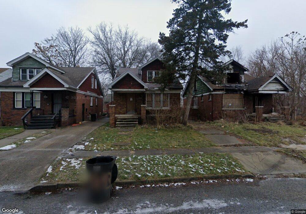
This home is located at 14133 Manning St, Detroit, MI 48205 and is currently estimated at $65,511, approximately $49 per square foot. 14133 Manning St is a home located in Wayne County with nearby schools including Casimir Pulaski Elementary-Middle School, Edward 'Duke' Ellington Conservatory of Music and Art, and Charles L. Spain Elementary-Middle School.
Ownership History
Date
Name
Owned For
Owner Type
Purchase Details
Closed on
Feb 26, 2021
Sold by
Detroit Land Bank Authority
Bought by
Bush Antoinette
Current Estimated Value
Purchase Details
Closed on
Jan 23, 2014
Sold by
Wayne County Treasurer
Bought by
Detroit Landbank Authority
Purchase Details
Closed on
Jul 17, 2007
Sold by
Stallings Donald P and Stallings Joyce K
Bought by
Raimer Ruthie L
Create a Home Valuation Report for This Property
The Home Valuation Report is an in-depth analysis detailing your home's value as well as a comparison with similar homes in the area
Home Values in the Area
Average Home Value in this Area
Purchase History
| Date | Buyer | Sale Price | Title Company |
|---|---|---|---|
| Bush Antoinette | $1,000 | Amrock Inc | |
| Detroit Landbank Authority | -- | None Available | |
| Raimer Ruthie L | $83,000 | Independence Title |
Source: Public Records
Tax History Compared to Growth
Tax History
| Year | Tax Paid | Tax Assessment Tax Assessment Total Assessment is a certain percentage of the fair market value that is determined by local assessors to be the total taxable value of land and additions on the property. | Land | Improvement |
|---|---|---|---|---|
| 2025 | $1,128 | $26,900 | $0 | $0 |
| 2024 | $1,128 | $23,900 | $0 | $0 |
| 2023 | $1,339 | $18,800 | $0 | $0 |
| 2022 | $1,429 | $13,600 | $0 | $0 |
| 2021 | $2,601 | $0 | $0 | $0 |
| 2020 | $0 | $0 | $0 | $0 |
| 2019 | $0 | $0 | $0 | $0 |
| 2018 | $0 | $0 | $0 | $0 |
| 2017 | -- | $0 | $0 | $0 |
| 2016 | $240 | $0 | $0 | $0 |
| 2015 | $1,744 | $0 | $0 | $0 |
| 2013 | $1,744 | $17,443 | $0 | $0 |
| 2010 | -- | $25,573 | $756 | $24,817 |
Source: Public Records
Map
Nearby Homes
- 14153 Manning St
- 14404 Manning St
- 14405 Manning St
- 14110 E State Fair St
- 14124 Rossini Dr
- 14076 Rossini Dr
- 14141 Rossini Dr
- 14024 Rossini Dr
- 14140 Fairmount Dr
- 14467 Rossini Dr
- 14504 Coram St
- 14390 Lappin St
- 14531 Lappin St
- 13832 Pinewood St
- 14741 Coram St
- 14007 Fairmount Dr
- 14772 Tacoma St
- 14578 Lappin St
- 14078 Bringard Dr
- 13892 Eastburn St
- 14139 Manning St
- 14125 Manning St
- 14147 Manning St
- 14117 Manning St
- 14111 Manning St
- 14132 Tacoma St
- 14161 Manning St
- 14138 Tacoma St
- 14118 Tacoma St
- 14144 Tacoma St
- 14101 Manning St
- 14124 Tacoma St
- 14154 Tacoma St
- 14167 Manning St
- 14110 Tacoma St
- 14160 Tacoma St
- 14144 Manning St
- 19660 Anvil St
- 19654 Anvil St
- 14166 Tacoma St