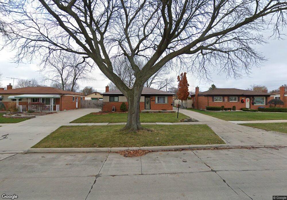
14139 Masonic Blvd Unit Bldg-Unit Warren, MI 48088
Northeast Warren NeighborhoodEstimated Value: $244,000 - $282,000
3
Beds
2
Baths
1,152
Sq Ft
$228/Sq Ft
Est. Value
About This Home
This home is located at 14139 Masonic Blvd Unit Bldg-Unit, Warren, MI 48088 and is currently estimated at $262,419, approximately $227 per square foot. 14139 Masonic Blvd Unit Bldg-Unit is a home located in Macomb County with nearby schools including Wilde Elementary School, Carter Middle School, and Paul K. Cousino High School.
Ownership History
Date
Name
Owned For
Owner Type
Purchase Details
Closed on
May 15, 2018
Sold by
U Snap Rae Non Profit Housing Corporatio
Bought by
Bennett Darrell and Mason Nikeshia R
Current Estimated Value
Purchase Details
Closed on
Jul 1, 2017
Sold by
Federal National Mortgage Association
Bought by
U Snap Bac Non Profit Housing Corporatio
Purchase Details
Closed on
Apr 22, 2016
Sold by
Difalco Rudolph and Difalco Beverly J
Bought by
Federal National Mortgage Association
Create a Home Valuation Report for This Property
The Home Valuation Report is an in-depth analysis detailing your home's value as well as a comparison with similar homes in the area
Home Values in the Area
Average Home Value in this Area
Purchase History
| Date | Buyer | Sale Price | Title Company |
|---|---|---|---|
| Bennett Darrell | $174,500 | None Available | |
| U Snap Bac Non Profit Housing Corporatio | $81,000 | First Title Escrow Inc | |
| Federal National Mortgage Association | $89,413 | Attorney |
Source: Public Records
Tax History Compared to Growth
Tax History
| Year | Tax Paid | Tax Assessment Tax Assessment Total Assessment is a certain percentage of the fair market value that is determined by local assessors to be the total taxable value of land and additions on the property. | Land | Improvement |
|---|---|---|---|---|
| 2025 | $4,257 | $108,360 | $0 | $0 |
| 2024 | $4,136 | $99,170 | $0 | $0 |
| 2023 | $3,921 | $90,030 | $0 | $0 |
| 2022 | $3,788 | $78,410 | $0 | $0 |
| 2021 | $3,855 | $74,200 | $0 | $0 |
| 2020 | $3,717 | $71,860 | $0 | $0 |
| 2019 | $3,583 | $67,380 | $0 | $0 |
| 2018 | $0 | $63,670 | $0 | $0 |
| 2017 | $2,856 | $58,450 | $10,040 | $48,410 |
| 2016 | $2,370 | $58,450 | $0 | $0 |
| 2015 | -- | $51,510 | $0 | $0 |
| 2013 | $2,224 | $40,760 | $0 | $0 |
Source: Public Records
Map
Nearby Homes
- 13863 Colpaert Dr
- 13842 Jenny Dr
- 13738 Jenny Dr
- 14646 Murthum Ave
- 14717 Colpaert Dr
- 31707 Gloede Dr
- 32334 Gloede Dr
- 31650 Nelson Dr
- 14514 Peck Dr
- 32215 Dover Ave
- 32717 Beechwood Dr
- 33042 Mccoy Dr
- 32828 Eiffel Ave
- 33076 Mccoy Dr
- 31341 Hayes Rd
- 12839 Chippewa Dr
- 31218 Fairfield Dr
- 31263 Hayes Rd
- 31739 Iroquois Dr
- 31070 Hayes Rd
- 14139 Masonic Blvd
- 14127 Masonic Blvd
- 14151 Masonic Blvd
- 14115 Masonic Blvd
- 14209 Masonic Blvd
- 14130 Colpaert Dr
- 14118 Colpaert Dr
- 14142 Colpaert Dr
- 14154 Colpaert Dr
- 14106 Colpaert Dr
- 14103 Masonic Blvd
- 14221 Masonic Blvd
- 31848 Shawn Dr
- 14058 Colpaert Dr
- 14212 Colpaert Dr
- 14077 Masonic Blvd
- 14233 Masonic Blvd
- 31836 Shawn Dr
- 14224 Colpaert Dr
- 14046 Colpaert Dr