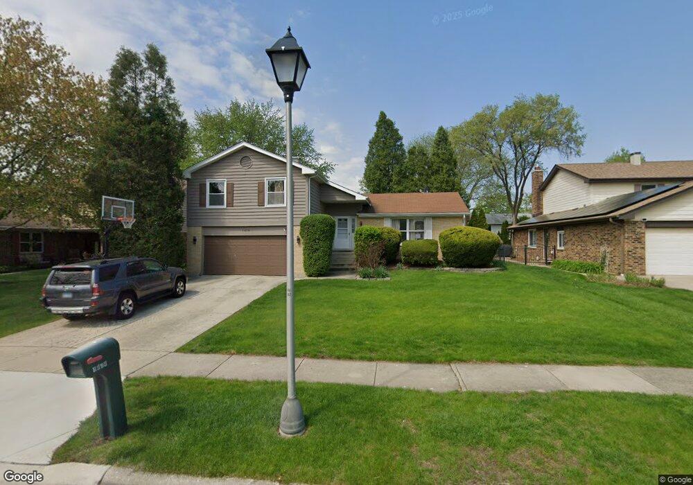
1414 Brandon Dr Wheaton, IL 60189
Southeast Wheaton NeighborhoodEstimated Value: $507,200 - $588,000
3
Beds
3
Baths
1,665
Sq Ft
$331/Sq Ft
Est. Value
About This Home
This home is located at 1414 Brandon Dr, Wheaton, IL 60189 and is currently estimated at $551,800, approximately $331 per square foot. 1414 Brandon Dr is a home located in DuPage County with nearby schools including Lincoln Elementary School, Edison Middle School, and Wheaton Warrenville South High School.
Ownership History
Date
Name
Owned For
Owner Type
Purchase Details
Closed on
Jun 22, 2000
Sold by
Hitzeman Daniel R and Daniel R Hitzeman Trust
Bought by
Kottke James J and Kottke Patricia
Current Estimated Value
Home Financials for this Owner
Home Financials are based on the most recent Mortgage that was taken out on this home.
Original Mortgage
$186,500
Outstanding Balance
$67,293
Interest Rate
8.55%
Estimated Equity
$484,507
Purchase Details
Closed on
Sep 29, 1999
Sold by
Hitzeman Daniel R and Hitzeman Bonnie M Pick
Bought by
Hitzeman Daniel R and Hitzeman Bonnie M Pick
Create a Home Valuation Report for This Property
The Home Valuation Report is an in-depth analysis detailing your home's value as well as a comparison with similar homes in the area
Home Values in the Area
Average Home Value in this Area
Purchase History
| Date | Buyer | Sale Price | Title Company |
|---|---|---|---|
| Kottke James J | $234,500 | -- | |
| Hitzeman Daniel R | -- | -- |
Source: Public Records
Mortgage History
| Date | Status | Borrower | Loan Amount |
|---|---|---|---|
| Open | Kottke James J | $186,500 |
Source: Public Records
Tax History
| Year | Tax Paid | Tax Assessment Tax Assessment Total Assessment is a certain percentage of the fair market value that is determined by local assessors to be the total taxable value of land and additions on the property. | Land | Improvement |
|---|---|---|---|---|
| 2024 | $9,737 | $159,071 | $35,493 | $123,578 |
| 2023 | $9,354 | $146,420 | $32,670 | $113,750 |
| 2022 | $9,167 | $138,370 | $30,870 | $107,500 |
| 2021 | $9,136 | $135,090 | $30,140 | $104,950 |
| 2020 | $9,108 | $133,830 | $29,860 | $103,970 |
| 2019 | $8,899 | $130,300 | $29,070 | $101,230 |
| 2018 | $8,857 | $128,290 | $27,400 | $100,890 |
| 2017 | $8,725 | $123,560 | $26,390 | $97,170 |
| 2016 | $8,609 | $118,630 | $25,340 | $93,290 |
| 2015 | $8,542 | $113,170 | $24,170 | $89,000 |
| 2014 | $7,750 | $101,580 | $19,110 | $82,470 |
| 2013 | $7,551 | $101,890 | $19,170 | $82,720 |
Source: Public Records
Map
Nearby Homes
- 840 Sheldon Ct Unit B
- 1315 Underwood Terrace
- 1026 Briarcliffe Blvd
- 570 Riva Ct
- 1129 Rhodes Ct
- 1216 E Elm St
- 1019 Pershing Ave
- 715 S Naperville Rd
- 1581 Groton Ln
- 953 Cordova Ct
- 1601 Castbourne Ct
- 1678 Groton Ct
- 1344 S Lorraine Rd Unit C
- 510 S President St
- 1000 S Lorraine Rd Unit 214
- 502 S Summit St
- 325 W Park Ave
- 1720 Lakecliffe Dr Unit A
- 1705 Lakecliffe Dr Unit D
- 353 E Liberty Dr
- 1426 Brandon Dr
- 1402 Brandon Dr
- 1411 Wales Dr
- 1438 Brandon Dr
- 1401 Wales Dr
- 1423 Wales Dr
- 702 Alchester Dr
- 1435 Wales Dr
- 1415 Brandon Dr Unit 2
- 1433 Brandon Dr
- 1450 Brandon Dr
- 736 Alchester Dr
- 655 Alchester Dr
- 1447 Wales Dr
- 633 Alchester Dr
- 1445 Brandon Dr
- 699 Alchester Dr
- 1462 Brandon Dr
- 703 Alchester Dr
- 611 Alchester Dr
Your Personal Tour Guide
Ask me questions while you tour the home.