14142 Maya Cir Moorpark, CA 93021
Estimated Value: $1,415,000 - $1,488,000
5
Beds
5
Baths
3,864
Sq Ft
$371/Sq Ft
Est. Value
About This Home
This home is located at 14142 Maya Cir, Moorpark, CA 93021 and is currently estimated at $1,435,396, approximately $371 per square foot. 14142 Maya Cir is a home located in Ventura County with nearby schools including Peach Hill Academy, Mesa Verde Middle School, and Moorpark High School.
Ownership History
Date
Name
Owned For
Owner Type
Purchase Details
Closed on
Jul 30, 2004
Sold by
Langner Michael S and Langner Linda M
Bought by
Langner Michael S and Langner Linda M
Current Estimated Value
Purchase Details
Closed on
Mar 7, 2001
Sold by
Richmond American Homes Of Ca Inc
Bought by
Langner Michael S and Langner Linda M
Home Financials for this Owner
Home Financials are based on the most recent Mortgage that was taken out on this home.
Original Mortgage
$436,100
Interest Rate
6.98%
Create a Home Valuation Report for This Property
The Home Valuation Report is an in-depth analysis detailing your home's value as well as a comparison with similar homes in the area
Home Values in the Area
Average Home Value in this Area
Purchase History
| Date | Buyer | Sale Price | Title Company |
|---|---|---|---|
| Langner Michael S | -- | -- | |
| Langner Michael S | $545,500 | First American Title Ins Co |
Source: Public Records
Mortgage History
| Date | Status | Borrower | Loan Amount |
|---|---|---|---|
| Previous Owner | Langner Michael S | $436,100 |
Source: Public Records
Tax History Compared to Growth
Tax History
| Year | Tax Paid | Tax Assessment Tax Assessment Total Assessment is a certain percentage of the fair market value that is determined by local assessors to be the total taxable value of land and additions on the property. | Land | Improvement |
|---|---|---|---|---|
| 2025 | $9,334 | $842,016 | $328,590 | $513,426 |
| 2024 | $9,334 | $825,506 | $322,147 | $503,359 |
| 2023 | $9,139 | $809,320 | $315,830 | $493,490 |
| 2022 | $8,956 | $793,451 | $309,637 | $483,814 |
| 2021 | $8,894 | $777,894 | $303,566 | $474,328 |
| 2020 | $8,724 | $769,919 | $300,454 | $469,465 |
| 2019 | $8,536 | $754,823 | $294,563 | $460,260 |
| 2018 | $8,451 | $740,024 | $288,788 | $451,236 |
| 2017 | $8,354 | $725,515 | $283,126 | $442,389 |
| 2016 | $8,193 | $711,290 | $277,575 | $433,715 |
| 2015 | $8,085 | $700,607 | $273,406 | $427,201 |
| 2014 | $7,504 | $686,885 | $268,051 | $418,834 |
Source: Public Records
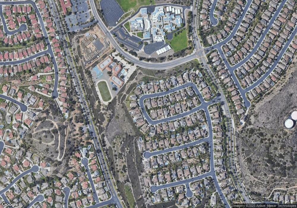
Map
Nearby Homes
- 4104 Dakota Dr
- 14342 Peach Hill Rd
- 13749 Gunsmoke Rd
- 13729 Bear Valley Rd
- 4543 Silverbell Cir
- 3919 Southhampton Rd
- 4224 Shawnee St
- 4540 Mill Valley Rd
- 4305 Crabapple Ct
- 4175 Shady Point Dr
- 4260 Crabapple Ct
- 13191 Honeybee St
- 3821 Hidden Pine Ct
- 540 Spring Rd Unit 93
- 540 Spring Rd Unit 94
- 4506 N Canyonlands Rd
- 150 Majestic Ct Unit 1102
- 13191 Westcott Ct
- 13418 Nightsky Dr