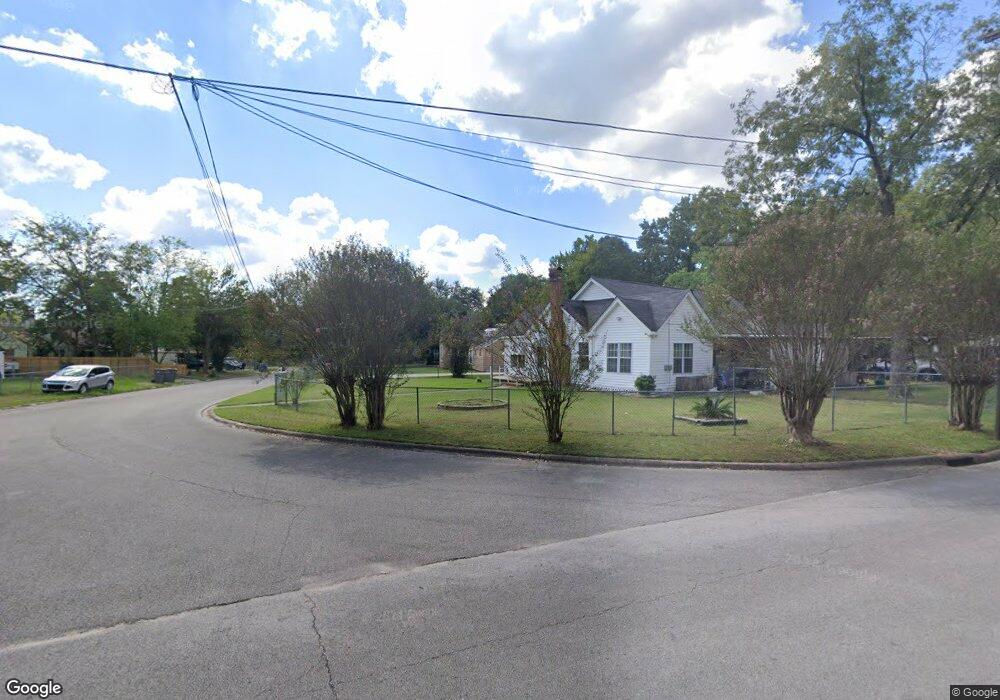
1415 Bell St Lufkin, TX 75901
Estimated Value: $119,395 - $138,000
Studio
5
Baths
1,226
Sq Ft
$104/Sq Ft
Est. Value
About This Home
This home is located at 1415 Bell St, Lufkin, TX 75901 and is currently estimated at $127,099, approximately $103 per square foot. 1415 Bell St is a home located in Angelina County with nearby schools including Herty Primary School, Coston Elementary School, and Lufkin Middle School.
Ownership History
Date
Name
Owned For
Owner Type
Purchase Details
Closed on
Jul 3, 2017
Sold by
Jennings Salbert Mary Lillian
Bought by
Arrington Joe O and Arrington Shara L
Current Estimated Value
Purchase Details
Closed on
May 3, 2005
Sold by
Melton Mary Lee
Bought by
Bonilla Selvi
Home Financials for this Owner
Home Financials are based on the most recent Mortgage that was taken out on this home.
Original Mortgage
$42,335
Interest Rate
6.06%
Mortgage Type
FHA
Create a Home Valuation Report for This Property
The Home Valuation Report is an in-depth analysis detailing your home's value as well as a comparison with similar homes in the area
Purchase History
| Date | Buyer | Sale Price | Title Company |
|---|---|---|---|
| Arrington Joe O | -- | None Available | |
| Bonilla Selvi | $42,335 | None Available |
Source: Public Records
Mortgage History
| Date | Status | Borrower | Loan Amount |
|---|---|---|---|
| Previous Owner | Bonilla Selvi | $42,335 |
Source: Public Records
Tax History
| Year | Tax Paid | Tax Assessment Tax Assessment Total Assessment is a certain percentage of the fair market value that is determined by local assessors to be the total taxable value of land and additions on the property. | Land | Improvement |
|---|---|---|---|---|
| 2025 | $1,873 | $93,880 | $15,140 | $78,740 |
| 2024 | $1,703 | $91,780 | $15,140 | $76,640 |
| 2023 | $1,472 | $91,580 | $15,140 | $76,440 |
| 2022 | $1,534 | $69,060 | $5,360 | $63,700 |
| 2021 | $1,508 | $61,610 | $5,360 | $56,250 |
| 2020 | $1,368 | $55,650 | $5,360 | $50,290 |
| 2019 | $1,467 | $56,440 | $5,360 | $51,080 |
| 2018 | $942 | $54,610 | $5,360 | $49,250 |
| 2017 | $942 | $52,250 | $5,360 | $46,890 |
| 2016 | $1,226 | $54,600 | $5,680 | $48,920 |
| 2015 | $928 | $46,750 | $5,680 | $41,070 |
| 2014 | $928 | $45,400 | $5,680 | $39,720 |
Source: Public Records
Map
Nearby Homes
- 333 Humason Ave
- 38986 Pecan St
- 1009 Atkinson Dr
- TBD N Timberland Dr
- 600 Trenton St
- 1114 Maberry St
- 0 N Timberland Dr Unit 26175096
- 816 Circle Dr
- 223 Stoney Ridge
- 112 Martin Luther King jr Blvd
- 1518 Phelps St
- 1101 N 1st St
- 233 N Banks St
- 1303 Voyle St
- 409 Davis St
- 1706 approx. Norwood Dr
- 4795 LEWIS & PO Norwood Dr
- 1618 Paul Ave
- 1911 Paul Ave
- 111 Hemlock Rd
- 509 Hoskins Ave
- 1421 Bell St
- 1402 N Warren St
- 1400 N Warren St
- 402 Humason Ave
- 1410 Bell St
- 1416 Bell St
- 603 Hoskins Ave
- 512 Humason Ave
- 510 Hoskins Ave
- 502 Hoskins Ave
- 512 Hoskins Ave
- 405 Humason Ave
- 407 Humason Ave
- 507 Humason Ave
- 615 Hoskins Ave
- 1314 N Warren St
- 518 Humason Ave
- 606 Hoskins Ave
- 417 Hoskins Ave
Your Personal Tour Guide
Ask me questions while you tour the home.