Estimated Value: $362,000 - $604,000
4
Beds
3
Baths
3,360
Sq Ft
$144/Sq Ft
Est. Value
About This Home
This home is located at 1415 N Range Rd, Knox, IN 46534 and is currently estimated at $483,376, approximately $143 per square foot. 1415 N Range Rd is a home located in Starke County with nearby schools including North Judson-San Pierre Elementary School and N. Judson-San Pierre Junior/Senior High School.
Ownership History
Date
Name
Owned For
Owner Type
Purchase Details
Closed on
Dec 15, 2011
Sold by
Shireman Michael J and Kopchik Jamie A
Bought by
Shireman Michael J and Shireman Jamie A
Current Estimated Value
Create a Home Valuation Report for This Property
The Home Valuation Report is an in-depth analysis detailing your home's value as well as a comparison with similar homes in the area
Purchase History
| Date | Buyer | Sale Price | Title Company |
|---|---|---|---|
| Shireman Michael J | -- | None Available |
Source: Public Records
Tax History
| Year | Tax Paid | Tax Assessment Tax Assessment Total Assessment is a certain percentage of the fair market value that is determined by local assessors to be the total taxable value of land and additions on the property. | Land | Improvement |
|---|---|---|---|---|
| 2025 | $2,972 | $377,900 | $24,700 | $353,200 |
| 2024 | $2,972 | $371,300 | $24,300 | $347,000 |
| 2023 | $2,663 | $348,900 | $21,700 | $327,200 |
| 2022 | $3,346 | $337,100 | $19,400 | $317,700 |
| 2021 | $3,107 | $280,300 | $18,900 | $261,400 |
| 2020 | $2,926 | $260,100 | $18,900 | $241,200 |
| 2019 | $2,671 | $241,100 | $18,800 | $222,300 |
| 2018 | $2,365 | $223,300 | $17,400 | $205,900 |
| 2017 | $1,234 | $151,900 | $28,800 | $123,100 |
| 2016 | $1,175 | $152,300 | $28,300 | $124,000 |
| 2014 | $1,112 | $152,400 | $27,200 | $125,200 |
| 2013 | $1,126 | $154,000 | $26,900 | $127,100 |
Source: Public Records
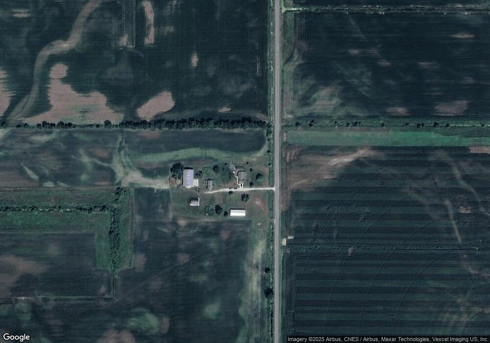
Map
Nearby Homes
- 18351 S Sr 39
- 18097 S Sr 39
- 4170 E 250 N
- 2022 W 1800 S
- 1892 W 200 S
- 1301 W Culver Rd
- 2075 E 200 S
- 207 W Lake St
- 203 W Lake St
- 18097 S State Road 39
- 305 W New York St
- 105 S Bower St
- 14.89 Acres W Culver Rd
- 154 W New York St
- 2 N Pearl St
- 302 S Main St
- 903 S Portland St
- 701 S Shield St
- 4500 E 300 N
- 1309 S Roosevelt Rd
Your Personal Tour Guide
Ask me questions while you tour the home.