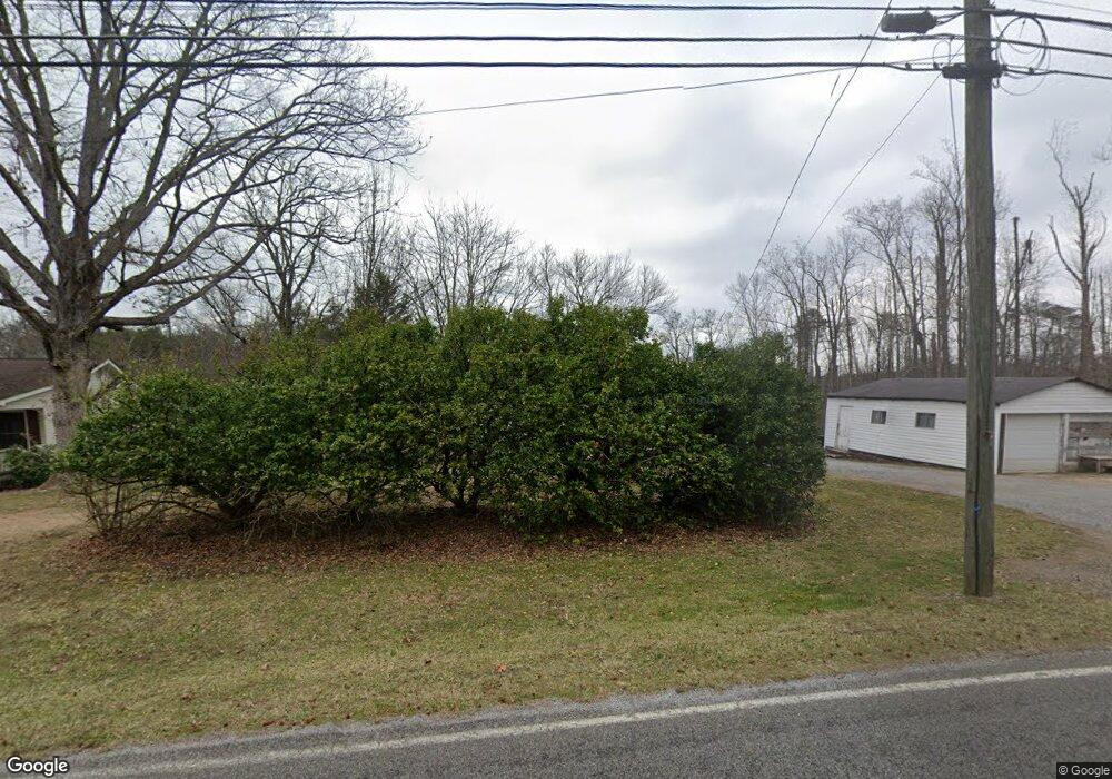
1415 Poe Rd Soddy Daisy, TN 37379
Estimated Value: $94,000 - $210,000
--
Bed
--
Bath
878
Sq Ft
$168/Sq Ft
Est. Value
About This Home
This home is located at 1415 Poe Rd, Soddy Daisy, TN 37379 and is currently estimated at $147,693, approximately $168 per square foot. 1415 Poe Rd is a home located in Hamilton County.
Ownership History
Date
Name
Owned For
Owner Type
Purchase Details
Closed on
Dec 1, 2021
Sold by
Brown Rickey and Brown Cynthia
Bought by
Brown Freeman Ethan and Prak Brown Mary
Current Estimated Value
Purchase Details
Closed on
Oct 24, 2012
Sold by
Luhowiak Micheal and Estate Of Peggy Sue Grant
Bought by
Brown Rickey and Brown Cynthia
Purchase Details
Closed on
Jan 10, 1998
Sold by
Daniels Bruce and Daniels Reba
Bought by
Grant Reynolds and Grant Peggy
Home Financials for this Owner
Home Financials are based on the most recent Mortgage that was taken out on this home.
Original Mortgage
$47,000
Interest Rate
7.16%
Purchase Details
Closed on
May 6, 1996
Sold by
Smartt Thomas
Bought by
Daniels Reba
Create a Home Valuation Report for This Property
The Home Valuation Report is an in-depth analysis detailing your home's value as well as a comparison with similar homes in the area
Home Values in the Area
Average Home Value in this Area
Purchase History
| Date | Buyer | Sale Price | Title Company |
|---|---|---|---|
| Brown Freeman Ethan | -- | None Available | |
| Brown Rickey | $35,000 | None Available | |
| Grant Reynolds | $47,000 | -- | |
| Daniels Reba | -- | -- |
Source: Public Records
Mortgage History
| Date | Status | Borrower | Loan Amount |
|---|---|---|---|
| Previous Owner | Grant Reynolds | $47,000 |
Source: Public Records
Tax History Compared to Growth
Tax History
| Year | Tax Paid | Tax Assessment Tax Assessment Total Assessment is a certain percentage of the fair market value that is determined by local assessors to be the total taxable value of land and additions on the property. | Land | Improvement |
|---|---|---|---|---|
| 2024 | $460 | $20,575 | $0 | $0 |
| 2023 | $460 | $20,575 | $0 | $0 |
| 2022 | $460 | $20,575 | $0 | $0 |
| 2021 | $460 | $20,575 | $0 | $0 |
| 2020 | $467 | $16,875 | $0 | $0 |
| 2019 | $467 | $16,875 | $0 | $0 |
| 2018 | $467 | $16,875 | $0 | $0 |
| 2017 | $467 | $16,875 | $0 | $0 |
| 2016 | $486 | $0 | $0 | $0 |
| 2015 | $486 | $17,575 | $0 | $0 |
| 2014 | $486 | $0 | $0 | $0 |
Source: Public Records
Map
Nearby Homes
- 9963 Huckelberry Ln
- 1218 Montlake Rd
- 9963 Huckleberry Ln
- 1532 Hotwater Rd
- 9844 Granny Walker Cemetery Rd
- 1109 Montlake Rd
- 9009 Brow Lake Rd
- 1043 Montlake Rd
- 1041 Montlake Rd
- 1037 Montlake Rd
- 926 Montlake Rd
- 0 Wedge Way Unit 1389915
- 921 Rose Marie Ct
- 9851 Millsaps St
- 841 Sluder Ln
- 9327 Springfield Rd
- 9254 Springfield Rd
- 9331 Dayton Pike
- 212 W Walden Cir
- 9019 Springfield Rd