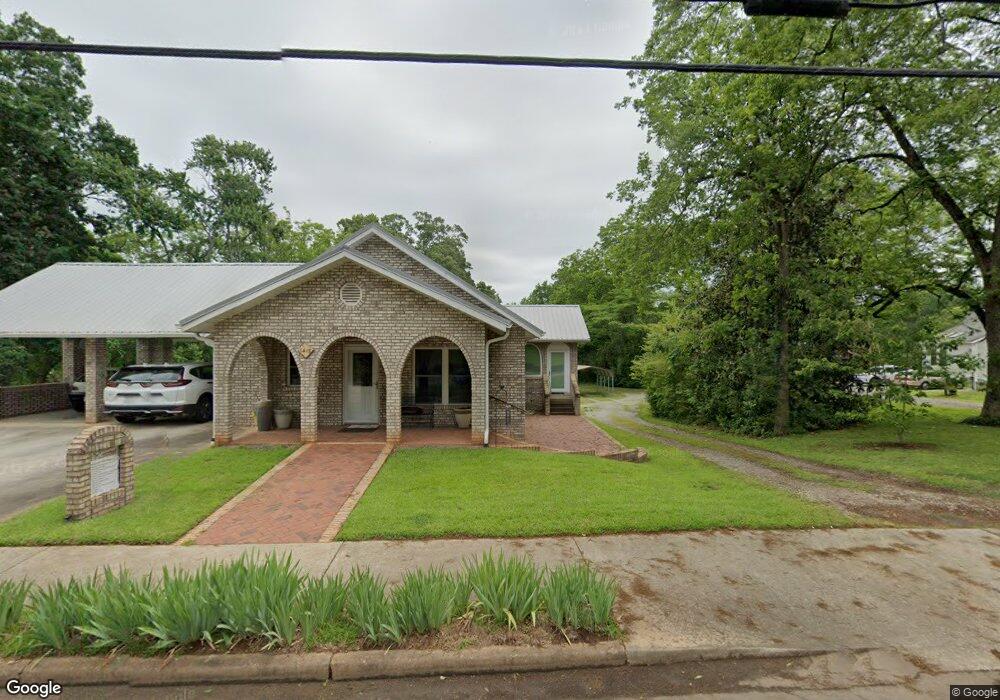
1415 W Main St Unit B West Union, SC 29696
Estimated Value: $111,000 - $262,000
2
Beds
1
Bath
1,068
Sq Ft
$165/Sq Ft
Est. Value
About This Home
This home is located at 1415 W Main St Unit B, West Union, SC 29696 and is currently estimated at $175,980, approximately $164 per square foot. 1415 W Main St Unit B is a home located in Oconee County with nearby schools including Walhalla Elementary School, Walhalla Middle School, and Walhalla High School.
Ownership History
Date
Name
Owned For
Owner Type
Purchase Details
Closed on
Jan 24, 2023
Sold by
Nicholson Boyd E
Bought by
Nicholson David W
Current Estimated Value
Purchase Details
Closed on
Jan 12, 2023
Sold by
Nicholson Boyd E
Bought by
Nicholson David W
Purchase Details
Closed on
Nov 17, 2009
Sold by
Nicholson Anita J and Nicholson Boyd J
Bought by
Georgion Mary D and Georgion Philip M
Create a Home Valuation Report for This Property
The Home Valuation Report is an in-depth analysis detailing your home's value as well as a comparison with similar homes in the area
Home Values in the Area
Average Home Value in this Area
Purchase History
| Date | Buyer | Sale Price | Title Company |
|---|---|---|---|
| Nicholson David W | -- | -- | |
| Nicholson David W | -- | -- | |
| Georgion Mary D | -- | -- | |
| Nicholson Anita J | -- | -- |
Source: Public Records
Tax History Compared to Growth
Tax History
| Year | Tax Paid | Tax Assessment Tax Assessment Total Assessment is a certain percentage of the fair market value that is determined by local assessors to be the total taxable value of land and additions on the property. | Land | Improvement |
|---|---|---|---|---|
| 2025 | $123 | $2,759 | $391 | $2,368 |
| 2024 | $123 | $2,759 | $391 | $2,368 |
| 2023 | $118 | $2,759 | $391 | $2,368 |
| 2022 | $118 | $2,759 | $391 | $2,368 |
| 2021 | $23 | $2,631 | $391 | $2,240 |
| 2020 | $51 | $0 | $0 | $0 |
| 2019 | $51 | $0 | $0 | $0 |
| 2018 | $541 | $0 | $0 | $0 |
| 2017 | $23 | $0 | $0 | $0 |
| 2016 | $23 | $0 | $0 | $0 |
| 2015 | -- | $0 | $0 | $0 |
| 2014 | -- | $2,149 | $434 | $1,715 |
| 2013 | -- | $0 | $0 | $0 |
Source: Public Records
Map
Nearby Homes
- 204 Friendship Dr
- 209 Moore Ave
- 2539 Blue Ridge Blvd
- 115 Burns Mill Rd
- 00 Branch St
- 00 Keowee St
- 208 Branch St
- 320 Jaynes St
- 412 N Spring St
- 437 Burns Mill Rd
- 604 Revolutionary Dr
- 00 S Spring St
- 117 Edney Dr
- 1198 Anderson St
- 203 Tulip Dr
- 146 Jefferson Rd
- 130 Raleighs Ln
- 517 Fowler Rd
- 2423 Westminster Hwy
- 00 N Church St
- 1415B W Main St
- 1409 W Main St
- 1419 W Main St
- 1407 W Main St
- 587 Torrington Rd
- 1401 W Main St
- 1408 W Main St
- 1425 W Main St Unit B
- 1420 W Main St
- 1428 W Main St
- 1424 W Main St
- 584 Torrington Rd
- 1429 W Main St
- 303 Dutch Fork Rd
- 305 Dutch Fork Rd
- 302 Dutch Fork Rd
- 1443 W Main St
- 1394 W Main St
- 306 Dutch Fork Rd
- 1340 W Main St