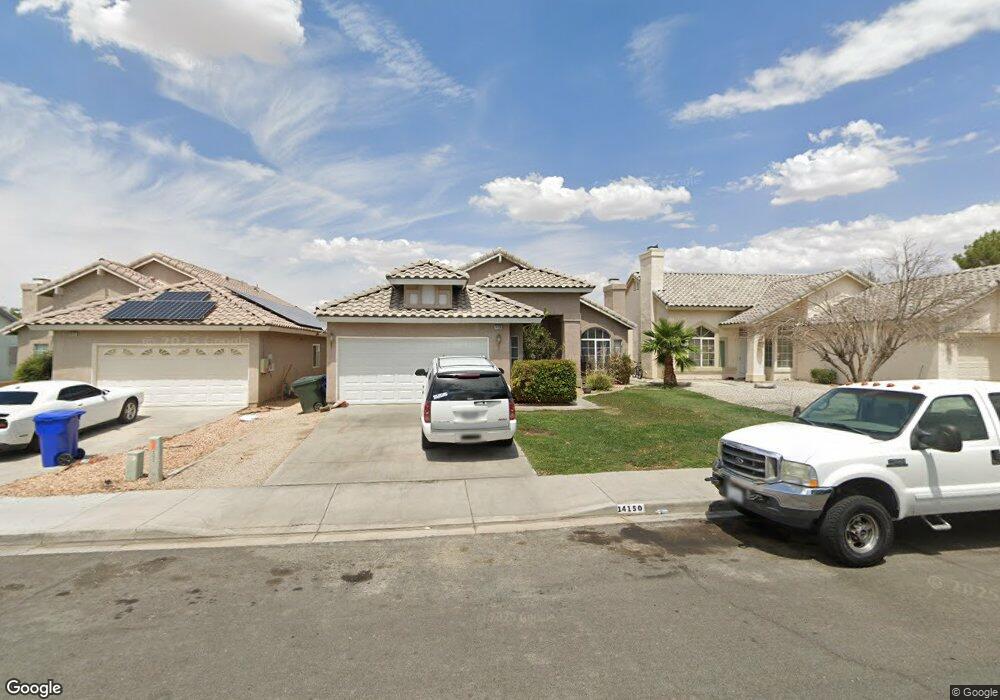
14150 Auburn Ct Victorville, CA 92394
Estimated Value: $368,000 - $385,000
3
Beds
2
Baths
1,366
Sq Ft
$275/Sq Ft
Est. Value
About This Home
This home is located at 14150 Auburn Ct, Victorville, CA 92394 and is currently estimated at $376,245, approximately $275 per square foot. 14150 Auburn Ct is a home located in San Bernardino County with nearby schools including Brentwood Elementary School, Village Elementary School, and Challenger School Of Sports And Fitness.
Ownership History
Date
Name
Owned For
Owner Type
Purchase Details
Closed on
Dec 29, 2010
Sold by
Cirincione Tom A
Bought by
Cirincione Barbara
Current Estimated Value
Purchase Details
Closed on
May 21, 2003
Sold by
Stubbs Troy L
Bought by
Cirincione Tom A and Cirincione Barbara L
Home Financials for this Owner
Home Financials are based on the most recent Mortgage that was taken out on this home.
Original Mortgage
$116,900
Outstanding Balance
$49,250
Interest Rate
5.37%
Mortgage Type
Purchase Money Mortgage
Estimated Equity
$326,995
Create a Home Valuation Report for This Property
The Home Valuation Report is an in-depth analysis detailing your home's value as well as a comparison with similar homes in the area
Home Values in the Area
Average Home Value in this Area
Purchase History
| Date | Buyer | Sale Price | Title Company |
|---|---|---|---|
| Cirincione Barbara | -- | None Available | |
| Cirincione Tom A | $130,000 | First American |
Source: Public Records
Mortgage History
| Date | Status | Borrower | Loan Amount |
|---|---|---|---|
| Open | Cirincione Tom A | $116,900 |
Source: Public Records
Tax History Compared to Growth
Tax History
| Year | Tax Paid | Tax Assessment Tax Assessment Total Assessment is a certain percentage of the fair market value that is determined by local assessors to be the total taxable value of land and additions on the property. | Land | Improvement |
|---|---|---|---|---|
| 2025 | $2,290 | $188,140 | $37,626 | $150,514 |
| 2024 | $2,290 | $184,451 | $36,888 | $147,563 |
| 2023 | $2,268 | $180,835 | $36,165 | $144,670 |
| 2022 | $2,230 | $177,289 | $35,456 | $141,833 |
| 2021 | $2,191 | $173,813 | $34,761 | $139,052 |
| 2020 | $2,153 | $172,031 | $34,405 | $137,626 |
| 2019 | $2,119 | $168,657 | $33,730 | $134,927 |
| 2018 | $2,253 | $165,350 | $33,069 | $132,281 |
| 2017 | $2,208 | $162,108 | $32,421 | $129,687 |
| 2016 | $2,165 | $158,929 | $31,785 | $127,144 |
| 2015 | $2,091 | $156,542 | $31,308 | $125,234 |
| 2014 | $1,769 | $120,800 | $24,200 | $96,600 |
Source: Public Records
Map
Nearby Homes
- 14115 Buckskin Ct
- 14993 Brown Ln
- 14172 Paddock Rd
- 14304 Gray Fox Ln
- 14199 Estate Way
- 14358 Jackrabbit Ln
- 14117 Gopher Canyon Rd
- 14049 Estate Way
- 14096 Estate Way
- 14416 Honeyhill St
- 13986 Estate Way
- 15115 Fresh Water Way
- 14780 Butterfly Ct
- 15121 Sorrel Rd
- 13971 Clydesdale Run Ln
- 15255 Sunray Ct
- 14470 Green River Rd
- 14031 Horseshoe Way
- 14577 Crossing Trail
- 14582 Hidden Canyon Ln
- 14156 Auburn Ct
- 14142 Auburn Ct
- 14164 Auburn Ct
- 14155 Roan Rd
- 14163 Roan Rd
- 14134 Auburn Ct
- 14171 Roan Rd
- 14151 Roan Rd
- 14172 Auburn Ct
- 14145 Auburn Ct
- 14151 Auburn Ct
- 21829 Buckskin Rd
- 14161 Auburn Ct
- 14178 Auburn Ct
- 14127 Auburn Ct
- 14189 Roan Rd
- 14184 Auburn Ct
- 14132 Buckskin Ct
- 14140 Buckskin Ct
- 14124 Buckskin Ct