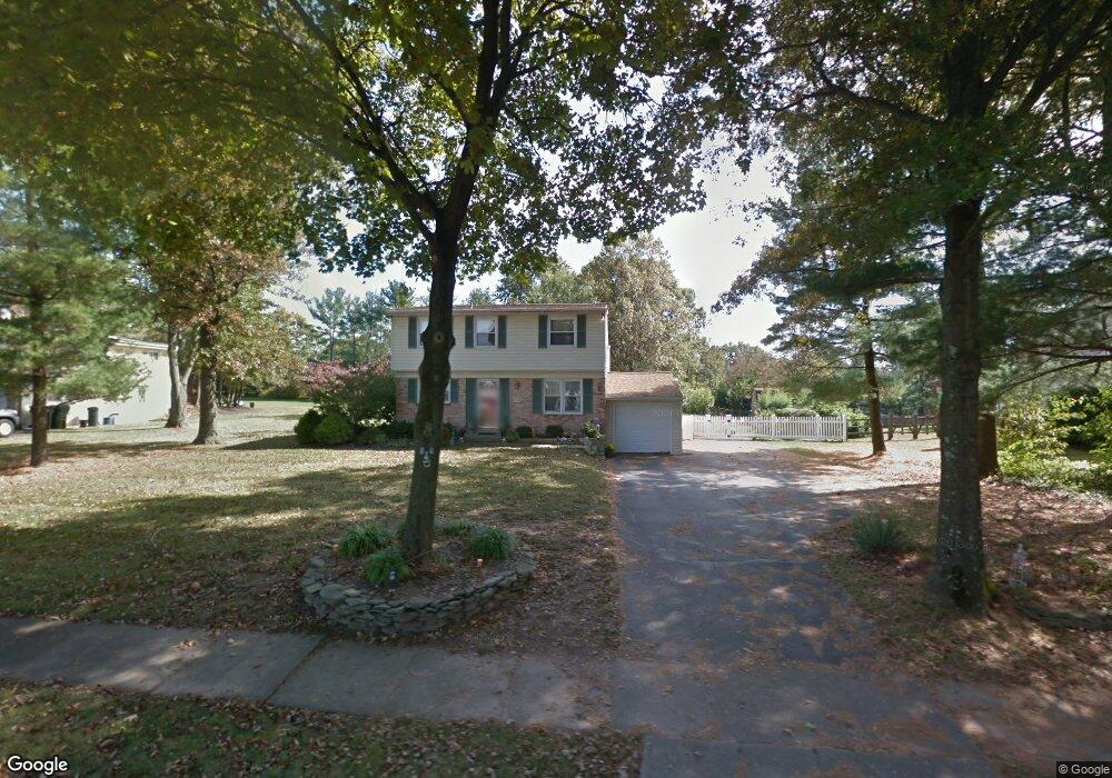
1416 Mauck Rd Blue Bell, PA 19422
Estimated Value: $561,000 - $621,000
5
Beds
3
Baths
2,046
Sq Ft
$285/Sq Ft
Est. Value
About This Home
This home is located at 1416 Mauck Rd, Blue Bell, PA 19422 and is currently estimated at $583,199, approximately $285 per square foot. 1416 Mauck Rd is a home located in Montgomery County with nearby schools including Stony Creek Elementary School, Wissahickon Middle School, and Wissahickon Senior High School.
Ownership History
Date
Name
Owned For
Owner Type
Purchase Details
Closed on
Oct 31, 2007
Sold by
Mcnaughton Marian H
Bought by
Powell Leslie A and Powell Jason
Current Estimated Value
Home Financials for this Owner
Home Financials are based on the most recent Mortgage that was taken out on this home.
Original Mortgage
$290,800
Outstanding Balance
$184,276
Interest Rate
6.41%
Estimated Equity
$398,923
Purchase Details
Closed on
Sep 30, 1997
Sold by
Hofmann Charles F and Hofmann Christine M
Bought by
Mcnaughton Marian H
Create a Home Valuation Report for This Property
The Home Valuation Report is an in-depth analysis detailing your home's value as well as a comparison with similar homes in the area
Home Values in the Area
Average Home Value in this Area
Purchase History
| Date | Buyer | Sale Price | Title Company |
|---|---|---|---|
| Powell Leslie A | $363,500 | None Available | |
| Mcnaughton Marian H | $148,000 | -- |
Source: Public Records
Mortgage History
| Date | Status | Borrower | Loan Amount |
|---|---|---|---|
| Open | Powell Leslie A | $290,800 |
Source: Public Records
Tax History Compared to Growth
Tax History
| Year | Tax Paid | Tax Assessment Tax Assessment Total Assessment is a certain percentage of the fair market value that is determined by local assessors to be the total taxable value of land and additions on the property. | Land | Improvement |
|---|---|---|---|---|
| 2025 | $5,120 | $162,190 | $59,310 | $102,880 |
| 2024 | $5,120 | $162,190 | $59,310 | $102,880 |
| 2023 | $4,910 | $162,190 | $59,310 | $102,880 |
| 2022 | $4,741 | $162,190 | $59,310 | $102,880 |
| 2021 | $4,597 | $162,190 | $59,310 | $102,880 |
| 2020 | $4,483 | $162,190 | $59,310 | $102,880 |
| 2019 | $4,390 | $162,190 | $59,310 | $102,880 |
| 2018 | $4,390 | $162,190 | $59,310 | $102,880 |
| 2017 | $4,191 | $162,190 | $59,310 | $102,880 |
| 2016 | $4,128 | $162,190 | $59,310 | $102,880 |
| 2015 | $3,938 | $162,190 | $59,310 | $102,880 |
| 2014 | $3,938 | $162,190 | $59,310 | $102,880 |
Source: Public Records
Map
Nearby Homes
- 1815 LOT 1 Yost Rd
- 107 Caspian Ln
- 1674 N Wales Rd
- 116 Brindle Ct
- 1734 Hallman Dr
- 1698 Daws Rd
- 1105 Whitpain Hills Unit 5
- 1673 Sylvan Dr
- 1411 Whitpain Hills
- 2564 W Skippack Pike
- 1783 Talbot Rd
- 2624 Hawthorn Dr
- 1510 Daws Rd
- 121 Stony Way
- 116 Norwood Ln
- 15 Umbrell Dr
- 3117 Nottingham Rd
- 1600 Potshop Rd
- 242 Brookside Rd
- 2949 Stoney Creek Rd