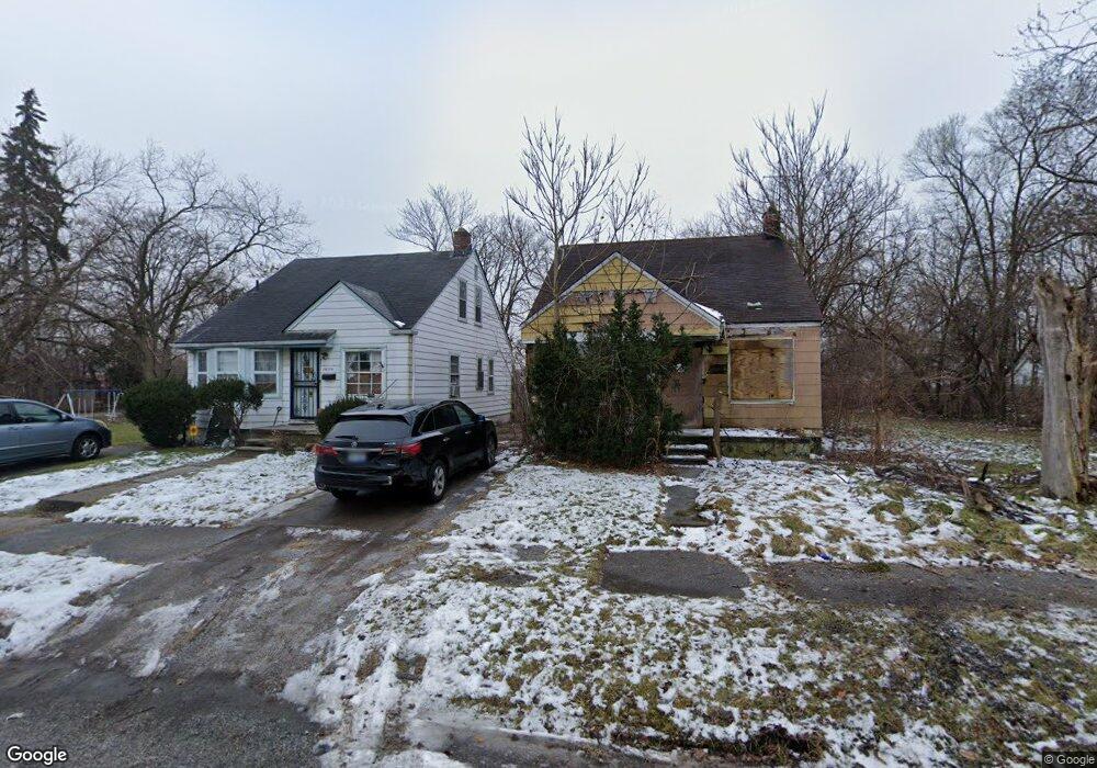
14164 Manning St Detroit, MI 48205
Franklin NeighborhoodEstimated Value: $84,000 - $153,000
3
Beds
3
Baths
1,175
Sq Ft
$95/Sq Ft
Est. Value
About This Home
This home is located at 14164 Manning St, Detroit, MI 48205 and is currently estimated at $111,509, approximately $94 per square foot. 14164 Manning St is a home located in Wayne County with nearby schools including Casimir Pulaski Elementary-Middle School, Edward 'Duke' Ellington Conservatory of Music and Art, and Charles L. Spain Elementary-Middle School.
Ownership History
Date
Name
Owned For
Owner Type
Purchase Details
Closed on
Jan 24, 2022
Sold by
Detroit Land Bank Authority
Bought by
Nolen Madina
Current Estimated Value
Purchase Details
Closed on
Oct 5, 2012
Sold by
Wayne County Treasurer
Bought by
Michigan Land Bank Fast Track Auth
Purchase Details
Closed on
May 16, 2007
Sold by
Jenkins Michael
Bought by
Wells Fargo Bank Na and Carrington Mortgage Loan Trust Series 20
Purchase Details
Closed on
Apr 13, 2006
Sold by
Force Robert A
Bought by
Jenkins Michael
Create a Home Valuation Report for This Property
The Home Valuation Report is an in-depth analysis detailing your home's value as well as a comparison with similar homes in the area
Home Values in the Area
Average Home Value in this Area
Purchase History
| Date | Buyer | Sale Price | Title Company |
|---|---|---|---|
| Nolen Madina | $1,200 | None Listed On Document | |
| Michigan Land Bank Fast Track Auth | -- | None Available | |
| Wells Fargo Bank Na | $59,000 | None Available | |
| Jenkins Michael | $90,000 | Title Direct Llc |
Source: Public Records
Tax History Compared to Growth
Tax History
| Year | Tax Paid | Tax Assessment Tax Assessment Total Assessment is a certain percentage of the fair market value that is determined by local assessors to be the total taxable value of land and additions on the property. | Land | Improvement |
|---|---|---|---|---|
| 2025 | $38 | $1,200 | $0 | $0 |
| 2024 | $38 | $500 | $0 | $0 |
| 2023 | $38 | $500 | $0 | $0 |
| 2022 | $0 | $0 | $0 | $0 |
| 2021 | $0 | $0 | $0 | $0 |
| 2020 | $1,424 | $0 | $0 | $0 |
| 2019 | $1,424 | $0 | $0 | $0 |
| 2018 | $0 | $0 | $0 | $0 |
| 2017 | -- | $0 | $0 | $0 |
| 2016 | $240 | $0 | $0 | $0 |
| 2015 | $1,209 | $0 | $0 | $0 |
| 2013 | $1,209 | $12,085 | $0 | $0 |
| 2010 | -- | $17,719 | $834 | $16,885 |
Source: Public Records
Map
Nearby Homes
- 14153 Manning St
- 14404 Manning St
- 14405 Manning St
- 14110 E State Fair St
- 14124 Rossini Dr
- 14076 Rossini Dr
- 14141 Rossini Dr
- 14024 Rossini Dr
- 14140 Fairmount Dr
- 14467 Rossini Dr
- 14504 Coram St
- 14390 Lappin St
- 14531 Lappin St
- 13832 Pinewood St
- 14741 Coram St
- 14007 Fairmount Dr
- 14772 Tacoma St
- 14578 Lappin St
- 14078 Bringard Dr
- 13892 Eastburn St
- 14170 Manning St
- 14144 Manning St
- 14184 Manning St
- 14165 Liberal St
- 14157 Liberal St
- 14151 Liberal St
- 14192 Manning St
- 14143 Liberal St
- 14136 Manning St
- 14161 Manning St
- 14171 Liberal St
- 14179 Liberal St
- 14167 Manning St
- 14185 Liberal St
- 14147 Manning St
- 19625 Regent Dr
- 14123 Liberal St
- 14139 Manning St
- 14137 Liberal St
- 19657 Regent Dr