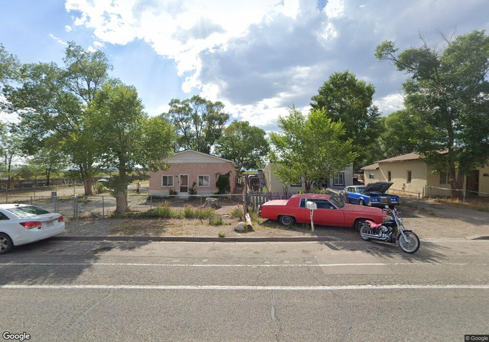
1417 Ross Ave Alamosa, CO 81101
Estimated Value: $163,000 - $245,000
3
Beds
11
Baths
901
Sq Ft
$216/Sq Ft
Est. Value
About This Home
This home is located at 1417 Ross Ave, Alamosa, CO 81101 and is currently estimated at $194,728, approximately $216 per square foot. 1417 Ross Ave is a home located in Alamosa County with nearby schools including Alamosa Elementary School, Ortega Middle School, and Alamosa High School.
Ownership History
Date
Name
Owned For
Owner Type
Purchase Details
Closed on
Mar 30, 2012
Sold by
Salas Amber Reenee and Salas Michelle T
Bought by
Salas Ambe Renee and Salas Michelle Toni
Current Estimated Value
Purchase Details
Closed on
Mar 6, 2001
Sold by
Salas Lucas Antonio
Bought by
Salas Lucas
Purchase Details
Closed on
Mar 21, 1995
Sold by
Salas Nina and Salas Tony
Bought by
Salas Lucas Antonio
Purchase Details
Closed on
Nov 30, 1993
Sold by
Salas Nina and Salas Joseph Anthony
Bought by
Salas Nina and Salas Tony
Purchase Details
Closed on
Jan 20, 1989
Sold by
Salas Nina and Salas Andrew
Bought by
Salas Nina and Salas Joseph
Purchase Details
Closed on
Feb 25, 1987
Sold by
Salas Tony and Salas Nina
Bought by
Salas Nina and Salas Andrew
Purchase Details
Closed on
Aug 15, 1972
Bought by
Salas Tony and Salas Nina
Create a Home Valuation Report for This Property
The Home Valuation Report is an in-depth analysis detailing your home's value as well as a comparison with similar homes in the area
Home Values in the Area
Average Home Value in this Area
Purchase History
| Date | Buyer | Sale Price | Title Company |
|---|---|---|---|
| Salas Ambe Renee | -- | None Available | |
| Salas Lucas | -- | -- | |
| Salas Lucas Antonio | -- | -- | |
| Salas Tony | -- | -- | |
| Salas Nina | -- | -- | |
| Salas Nina | -- | -- | |
| Salas Nina | -- | -- | |
| Salas Tony | -- | -- |
Source: Public Records
Tax History Compared to Growth
Tax History
| Year | Tax Paid | Tax Assessment Tax Assessment Total Assessment is a certain percentage of the fair market value that is determined by local assessors to be the total taxable value of land and additions on the property. | Land | Improvement |
|---|---|---|---|---|
| 2024 | $452 | $9,806 | $1,876 | $7,930 |
| 2023 | $460 | $9,850 | $1,894 | $7,956 |
| 2022 | $506 | $6,582 | $1,216 | $5,366 |
| 2021 | $520 | $6,582 | $1,216 | $5,366 |
| 2020 | $452 | $6,582 | $1,216 | $5,366 |
| 2019 | $454 | $5,621 | $1,216 | $4,405 |
| 2018 | $432 | $5,256 | $1,224 | $4,032 |
| 2017 | $433 | $5,256 | $1,224 | $4,032 |
| 2016 | $549 | $6,702 | $1,353 | $5,349 |
| 2015 | $55 | $6,702 | $1,353 | $5,349 |
| 2014 | -- | $6,702 | $1,353 | $5,349 |
| 2013 | -- | $6,702 | $1,353 | $5,349 |
Source: Public Records
Map
Nearby Homes
- 807 13th St
- 1704 Ross Ave
- 1201 San Juan Ave
- 1121 San Juan Ave
- 814 10th St
- 1306 State Ave
- 1731 San Juan Ave
- 1002 Edison Ave
- 1911 Edison Ave
- 1623-B 6th St
- 400 & 406 6th St
- 1330 W 7th St
- 531 Alamosa Ave
- 2416 Commerce Cir
- 0 U S 160
- 8581 Road 8 S
- 0 Tbd Unit 5544149
- 0 Tbd Unit 9319620
- 0 Tbd Unit 3736444
- 0 Tbd Unit 8786377