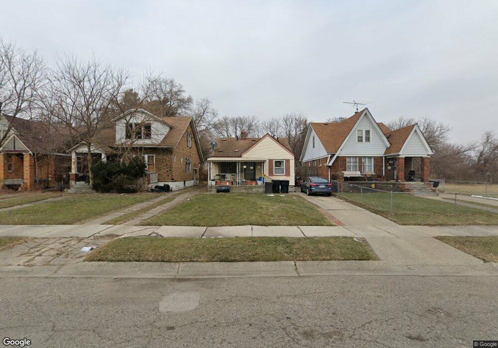
14171 Liberal St Detroit, MI 48205
Franklin NeighborhoodEstimated Value: $26,294 - $93,000
--
Bed
2
Baths
1,368
Sq Ft
$44/Sq Ft
Est. Value
About This Home
This home is located at 14171 Liberal St, Detroit, MI 48205 and is currently estimated at $60,324, approximately $44 per square foot. 14171 Liberal St is a home located in Wayne County with nearby schools including Casimir Pulaski Elementary-Middle School, Edward 'Duke' Ellington Conservatory of Music and Art, and Charles L. Spain Elementary-Middle School.
Ownership History
Date
Name
Owned For
Owner Type
Purchase Details
Closed on
Apr 1, 2024
Sold by
Detroit Land Bank Authority
Bought by
Dominick Jamed
Current Estimated Value
Purchase Details
Closed on
Jan 19, 2010
Sold by
Wojtowicz Raymond J
Bought by
Planning & Development Dept City Of Detr
Purchase Details
Closed on
Sep 1, 2005
Sold by
Fannie Mae
Bought by
Aladdin Inc
Purchase Details
Closed on
Mar 21, 2005
Sold by
Countrywide Home Loans Inc
Bought by
Federal National Mortgage Association
Purchase Details
Closed on
Mar 9, 2005
Sold by
Lareau Monique M
Bought by
Countrywide Home Loans Inc
Create a Home Valuation Report for This Property
The Home Valuation Report is an in-depth analysis detailing your home's value as well as a comparison with similar homes in the area
Home Values in the Area
Average Home Value in this Area
Purchase History
| Date | Buyer | Sale Price | Title Company |
|---|---|---|---|
| Dominick Jamed | -- | None Listed On Document | |
| Dominick Jamed | -- | None Listed On Document | |
| Planning & Development Dept City Of Detr | -- | None Available | |
| Aladdin Inc | $20,000 | Greco | |
| Federal National Mortgage Association | -- | -- | |
| Countrywide Home Loans Inc | $55,814 | -- |
Source: Public Records
Tax History Compared to Growth
Tax History
| Year | Tax Paid | Tax Assessment Tax Assessment Total Assessment is a certain percentage of the fair market value that is determined by local assessors to be the total taxable value of land and additions on the property. | Land | Improvement |
|---|---|---|---|---|
| 2025 | -- | $1,100 | $0 | $0 |
| 2024 | $250 | $0 | $0 | $0 |
| 2023 | $0 | $0 | $0 | $0 |
| 2022 | $0 | $0 | $0 | $0 |
| 2021 | $0 | $0 | $0 | $0 |
| 2020 | $0 | $0 | $0 | $0 |
| 2019 | $2,520 | $0 | $0 | $0 |
| 2018 | $0 | $0 | $0 | $0 |
| 2017 | $0 | $0 | $0 | $0 |
| 2016 | $340 | $0 | $0 | $0 |
| 2015 | -- | $0 | $0 | $0 |
| 2013 | $2,520 | $0 | $0 | $0 |
| 2010 | -- | $32,625 | $826 | $31,799 |
Source: Public Records
Map
Nearby Homes
- 14404 Manning St
- 14153 Manning St
- 14405 Manning St
- 14110 E State Fair St
- 14124 Rossini Dr
- 14076 Rossini Dr
- 14504 Coram St
- 14390 Lappin St
- 14141 Rossini Dr
- 14024 Rossini Dr
- 14531 Lappin St
- 14467 Rossini Dr
- 14140 Fairmount Dr
- 14741 Coram St
- 13832 Pinewood St
- 14578 Lappin St
- 14772 Tacoma St
- 14445 Seven Mile E
- 14007 Fairmount Dr
- 14819 Tacoma St
- 14179 Liberal St
- 14185 Liberal St
- 14165 Liberal St
- 14157 Liberal St
- 14151 Liberal St
- 19625 Regent Dr
- 14184 Liberal St
- 14143 Liberal St
- 14137 Liberal St
- 14164 Liberal St
- 19611 Regent Dr
- 14170 Manning St
- 14164 Manning St
- 14184 Manning St
- 19619 Regent Dr
- 14150 Liberal St
- 14192 Manning St
- 19603 Regent Dr
- 14170 Liberal St
- 14136 Manning St