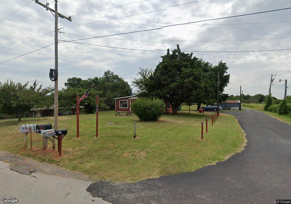
1418 Carl Stokes Rd Purcell, OK 73080
Estimated Value: $430,000 - $491,000
3
Beds
2
Baths
2,196
Sq Ft
$207/Sq Ft
Est. Value
About This Home
This home is located at 1418 Carl Stokes Rd, Purcell, OK 73080 and is currently estimated at $453,543, approximately $206 per square foot. 1418 Carl Stokes Rd is a home located in McClain County with nearby schools including Purcell Elementary School, Purcell Intermediate School, and Purcell Junior High School.
Ownership History
Date
Name
Owned For
Owner Type
Purchase Details
Closed on
Feb 10, 2025
Sold by
Dr Horton-Texas Ltd
Bought by
Cunningham Christopher Lee and Cunningham Sydney Renee
Current Estimated Value
Purchase Details
Closed on
Dec 5, 2024
Sold by
Wyndemere Newcastle Development Llc
Bought by
Dr Horton-Texas Ltd
Create a Home Valuation Report for This Property
The Home Valuation Report is an in-depth analysis detailing your home's value as well as a comparison with similar homes in the area
Home Values in the Area
Average Home Value in this Area
Purchase History
| Date | Buyer | Sale Price | Title Company |
|---|---|---|---|
| Cunningham Christopher Lee | $276,000 | None Listed On Document | |
| Cunningham Christopher Lee | $276,000 | None Listed On Document | |
| Dr Horton-Texas Ltd | $1,164,000 | Legacy Title Of Oklahoma | |
| Dr Horton-Texas Ltd | $1,164,000 | Legacy Title Of Oklahoma |
Source: Public Records
Tax History Compared to Growth
Tax History
| Year | Tax Paid | Tax Assessment Tax Assessment Total Assessment is a certain percentage of the fair market value that is determined by local assessors to be the total taxable value of land and additions on the property. | Land | Improvement |
|---|---|---|---|---|
| 2025 | $2,345 | $22,553 | $4,075 | $18,478 |
| 2024 | $2,342 | $22,554 | $3,522 | $19,032 |
| 2023 | $2,342 | $22,554 | $3,530 | $19,024 |
| 2022 | $2,314 | $22,553 | $4,430 | $18,123 |
| 2021 | $2,343 | $22,554 | $6,217 | $16,337 |
| 2020 | $2,250 | $21,897 | $6,166 | $15,731 |
| 2019 | $2,221 | $21,259 | $6,116 | $15,143 |
| 2018 | $2,134 | $20,640 | $5,871 | $14,769 |
| 2017 | $2,021 | $20,038 | $6,005 | $14,033 |
| 2016 | $1,983 | $19,455 | $4,895 | $14,560 |
| 2015 | $1,953 | $18,889 | $3,848 | $15,041 |
| 2014 | $1,874 | $18,338 | $3,565 | $14,773 |
Source: Public Records
Map
Nearby Homes
- 3127 Northridge Dr
- 3534 N 9th Ave
- 0 Bella Ct Unit 1156845
- 0 Bella Ct Unit 1156680
- 817 Carrie Ct
- 0 Sage Ct
- 0 Bluestem Ct
- 1027 Woodbrook Blvd
- 2907 Blue Stem Ct
- 0 Eagles Nest Unit 1152121
- 2915 Ridgecrest Dr
- 2907 Ridgecrest Dr
- 23193 Grandview Ln
- 2115 N 9th Ave
- 23615 Johnson Ave
- 22453 State Highway 74
- 937 Luglena Ln
- 1203 Mayes St
- Lot 6 48th Ave SE
- 1076 Westbrook Blvd
- 1418 Carl Stokes Rd
- 1414 Carl Stokes Rd
- 1430 Carl Stokes Rd
- 3622 Northridge Dr
- 3616 Northridge Dr
- 1434 Carl Stokes Rd
- 1234 Carl Stokes Rd
- 3534 Northridge Dr
- 3621 Northridge Dr
- 3611 Northridge Dr
- 1134 Carl Stokes Rd
- 3518 Northridge Dr
- 1234 Cedar Ct
- 1130 Carl Stokes Rd
- 1230 Cedar Ct
- 3434 Northridge Dr
- 1030 Carl Stokes Rd
- 24500 Holly Ln
- 3424 Northridge Dr
- 1220 Cedar Ct