1418 Middle Burnt Fork Rd Stevensville, MT 59870
Estimated Value: $1,157,000 - $1,204,280
3
Beds
3
Baths
3,387
Sq Ft
$349/Sq Ft
Est. Value
About This Home
This home is located at 1418 Middle Burnt Fork Rd, Stevensville, MT 59870 and is currently estimated at $1,180,640, approximately $348 per square foot. 1418 Middle Burnt Fork Rd is a home located in Ravalli County with nearby schools including Stevensville Elementary School, Stevensville Junior High School, and Stevensville High School.
Ownership History
Date
Name
Owned For
Owner Type
Purchase Details
Closed on
Jan 26, 2021
Sold by
Judisch Michael M and Judisch Teresa J
Bought by
Michael M Judisch And Teresa J Judisch Revoca and Judisch
Current Estimated Value
Home Financials for this Owner
Home Financials are based on the most recent Mortgage that was taken out on this home.
Original Mortgage
$318,500
Interest Rate
6.95%
Mortgage Type
New Conventional
Purchase Details
Closed on
Jan 26, 2010
Bought by
Judisch Michael M and Judisch Teresa J
Create a Home Valuation Report for This Property
The Home Valuation Report is an in-depth analysis detailing your home's value as well as a comparison with similar homes in the area
Home Values in the Area
Average Home Value in this Area
Purchase History
| Date | Buyer | Sale Price | Title Company |
|---|---|---|---|
| Michael M Judisch And Teresa J Judisch Revoca | -- | None Listed On Document | |
| Judisch Michael M | -- | None Listed On Document | |
| Judisch Michael M | -- | -- |
Source: Public Records
Mortgage History
| Date | Status | Borrower | Loan Amount |
|---|---|---|---|
| Previous Owner | Judisch Michael M | $318,500 |
Source: Public Records
Tax History Compared to Growth
Tax History
| Year | Tax Paid | Tax Assessment Tax Assessment Total Assessment is a certain percentage of the fair market value that is determined by local assessors to be the total taxable value of land and additions on the property. | Land | Improvement |
|---|---|---|---|---|
| 2025 | $3,912 | $980,500 | $0 | $0 |
| 2024 | $4,860 | $868,600 | $0 | $0 |
| 2023 | $4,878 | $868,600 | $0 | $0 |
| 2022 | $4,810 | $691,300 | $0 | $0 |
| 2021 | $5,218 | $691,300 | $0 | $0 |
| 2020 | $5,207 | $661,000 | $0 | $0 |
| 2019 | $5,160 | $661,000 | $0 | $0 |
| 2018 | $4,285 | $572,900 | $0 | $0 |
| 2017 | $4,231 | $572,900 | $0 | $0 |
| 2016 | $3,736 | $507,900 | $0 | $0 |
| 2015 | $3,749 | $507,900 | $0 | $0 |
| 2014 | $3,529 | $285,463 | $0 | $0 |
Source: Public Records
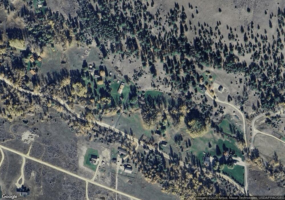
Map
Nearby Homes
- Lot 32-A Drovers Trail
- 3340 Rome Ln
- Nhn S Sunset Bench Rd
- 1073 N Burnt Fork Rd
- nhn Prosperity Heights Dr
- 711 Middle Burnt Fork Rd
- 3661 Sagehill Dr
- 208 Barnwood Way
- 165 Barnwood Way
- 1030 S Sunset Bench Rd
- Parcel I Chase Ln
- Parcel A Chase Ln
- Parcel C Chase Ln
- Lot 2 Reed Butte Rd
- Parcel B Chase Ln
- 1071 Prairie Ln
- 999 Websters Way
- 1254 & 1256 Sheep Creek Rd
- 951 Summit View Way
- Nhn Sunnyside Cemetery Rd
- 1436 Middle Burnt Fork Rd
- 1404 Middle Burnt Fork Rd
- 1421 Middle Burnt Fork Rd
- 3121 Sims Ln
- Lot 50-A Drovers Trail
- Lot 49-A Drovers Trail
- 1454 Middle Burnt Fork Rd
- Lot 30-A Drovers Trail
- Lot 31-A Drovers Trail
- Lot 26-A Drovers Trail
- Lot 26a Drovers Trail
- 3154 Quiet Place
- 1404 Drovers Trail
- Lot 29-A Drovers Trail
- 3250 Quiet Place
- 3360 Quiet Place
- 3284 Quiet Place
- 3274 Quiet Place
- 3198 Quiet Place
- Lot 27a Drovers Trail