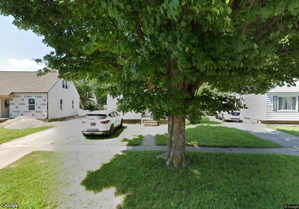
1418 Mulberry Ln Flint, MI 48507
Westgate NeighborhoodEstimated Value: $73,123 - $98,000
3
Beds
1
Bath
949
Sq Ft
$88/Sq Ft
Est. Value
About This Home
This home is located at 1418 Mulberry Ln, Flint, MI 48507 and is currently estimated at $83,281, approximately $87 per square foot. 1418 Mulberry Ln is a home located in Genesee County with nearby schools including Neithercut Elementary School, Flint Southwestern Classical Academy, and International Academy of Flint (K-12).
Ownership History
Date
Name
Owned For
Owner Type
Purchase Details
Closed on
Aug 29, 2019
Sold by
Wothke Matthew Joh
Bought by
Mcfarlane Ryan
Current Estimated Value
Purchase Details
Closed on
Jul 23, 2019
Sold by
Wothke Jon C and Jon C Wothke Trust
Bought by
Wothke Matthew Jon
Purchase Details
Closed on
Aug 15, 2008
Sold by
Wothke Jon C
Bought by
Jon C Wothke Trust
Purchase Details
Closed on
May 24, 2006
Sold by
Sprague Sherri
Bought by
Washington Mutual Bank Fa
Purchase Details
Closed on
Jun 25, 2002
Sold by
West David P
Bought by
Sprague Sherri
Create a Home Valuation Report for This Property
The Home Valuation Report is an in-depth analysis detailing your home's value as well as a comparison with similar homes in the area
Home Values in the Area
Average Home Value in this Area
Purchase History
| Date | Buyer | Sale Price | Title Company |
|---|---|---|---|
| Mcfarlane Ryan | $18,000 | None Available | |
| Wothke Matthew Jon | -- | None Available | |
| Jon C Wothke Trust | -- | None Available | |
| Washington Mutual Bank Fa | $78,887 | None Available | |
| Sprague Sherri | $70,000 | Sargents Title Company |
Source: Public Records
Tax History Compared to Growth
Tax History
| Year | Tax Paid | Tax Assessment Tax Assessment Total Assessment is a certain percentage of the fair market value that is determined by local assessors to be the total taxable value of land and additions on the property. | Land | Improvement |
|---|---|---|---|---|
| 2025 | $1,462 | $32,900 | $0 | $0 |
| 2024 | $1,347 | $30,300 | $0 | $0 |
| 2023 | $1,310 | $23,100 | $0 | $0 |
| 2022 | $0 | $17,600 | $0 | $0 |
| 2021 | $1,332 | $15,800 | $0 | $0 |
| 2020 | $1,218 | $14,500 | $0 | $0 |
| 2019 | $1,081 | $12,600 | $0 | $0 |
| 2018 | $1,101 | $12,600 | $0 | $0 |
| 2017 | $1,163 | $0 | $0 | $0 |
| 2016 | $1,155 | $0 | $0 | $0 |
| 2015 | -- | $0 | $0 | $0 |
| 2014 | -- | $0 | $0 | $0 |
| 2012 | -- | $16,400 | $0 | $0 |
Source: Public Records
Map
Nearby Homes
- 1418 Blueberry Ln
- 1410 Berrywood Ln
- 1607 Mulberry Ln
- 1416 Blackberry Ln
- 1228 Leland St
- 1212 Crawford St
- 1902 Crestbrook Ln
- 1225 Waldman Ave
- 1310 Huron St
- 1329 Huron St
- 1234 Huron St
- 1318 Ingleside Ave
- 1826 Greenbrook Ln
- 1102 W Atherton Rd
- 1028 Campbell St
- 2107 Stoney Brook Ct
- 1015 Alvord Ave
- 1101 Lincoln Ave
- 1031 Ingleside Ave
- 1122 Markham St
- 1422 Mulberry Ln
- 1414 Mulberry Ln
- 1425 Berrywood Ln
- 1426 Mulberry Ln
- 1429 Berrywood Ln
- 1410 Mulberry Ln
- 1433 Berrywood Ln
- 1415 Berrywood Ln
- 1437 Berrywood Ln
- 1502 Mulberry Ln
- 1506 Mulberry Ln
- 1406 Mulberry Ln
- 1419 Mulberry Ln
- 1413 Mulberry Ln
- 1409 Berrywood Ln
- 1425 Mulberry Ln
- 1501 Berrywood Ln
- 1407 Mulberry Ln
- 1501 Mulberry Ln
- 1405 Berrywood Ln