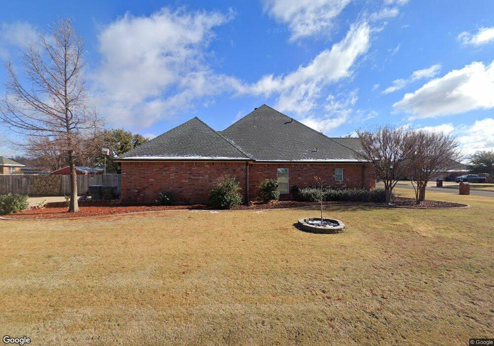
1418 Rodeo Dr Abilene, TX 79602
Airport-Loop 322 NeighborhoodEstimated Value: $409,413 - $500,000
4
Beds
3
Baths
2,741
Sq Ft
$166/Sq Ft
Est. Value
About This Home
This home is located at 1418 Rodeo Dr, Abilene, TX 79602 and is currently estimated at $455,353, approximately $166 per square foot. 1418 Rodeo Dr is a home located in Taylor County with nearby schools including Wylie West Early Childhood Center, Wylie West Intermediate School, and Wylie West Elementary School.
Ownership History
Date
Name
Owned For
Owner Type
Purchase Details
Closed on
May 2, 2012
Sold by
Blanton E Michael and Blanton Paula
Bought by
Falls Michael
Current Estimated Value
Home Financials for this Owner
Home Financials are based on the most recent Mortgage that was taken out on this home.
Original Mortgage
$243,564
Outstanding Balance
$167,561
Interest Rate
3.75%
Mortgage Type
FHA
Estimated Equity
$287,792
Purchase Details
Closed on
Mar 8, 2005
Sold by
Car Ron Construction Inc
Bought by
Blanton E Michael
Create a Home Valuation Report for This Property
The Home Valuation Report is an in-depth analysis detailing your home's value as well as a comparison with similar homes in the area
Home Values in the Area
Average Home Value in this Area
Purchase History
| Date | Buyer | Sale Price | Title Company |
|---|---|---|---|
| Falls Michael | -- | None Available | |
| Blanton E Michael | -- | None Available |
Source: Public Records
Mortgage History
| Date | Status | Borrower | Loan Amount |
|---|---|---|---|
| Open | Falls Michael | $243,564 |
Source: Public Records
Tax History
| Year | Tax Paid | Tax Assessment Tax Assessment Total Assessment is a certain percentage of the fair market value that is determined by local assessors to be the total taxable value of land and additions on the property. | Land | Improvement |
|---|---|---|---|---|
| 2025 | $6,842 | $345,584 | $36,375 | $309,209 |
| 2023 | $6,842 | $330,548 | $36,375 | $294,173 |
| 2022 | $7,523 | $318,822 | $0 | $0 |
| 2021 | $7,445 | $289,023 | $36,375 | $252,648 |
| 2020 | $7,533 | $287,662 | $36,375 | $251,287 |
| 2019 | $7,589 | $282,043 | $36,383 | $245,660 |
| 2018 | $6,681 | $266,895 | $36,383 | $230,512 |
| 2017 | $6,360 | $263,724 | $36,383 | $227,341 |
| 2016 | $6,247 | $259,053 | $36,383 | $222,670 |
| 2015 | $5,274 | $258,282 | $36,383 | $221,899 |
| 2014 | $5,274 | $254,599 | $0 | $0 |
Source: Public Records
Map
Nearby Homes
- 8717 Remuda Dr
- 1207 Saddle Lakes Dr
- TBD Iberis Rd
- 1490 Beltway S
- 445 U S 83
- 7750 Hwy 83-84
- 7602 Hwy 83-84
- 310 Foothill Rd
- 146 Foothill Rd
- 209 Stallion Rd
- 431 Foothill Rd
- 3109 Beltway S
- TBD Memorial Drive Block D Lot 105 Dr
- 7817 Tuscany Dr
- 7657 Venice Dr
- 6739 Chisholm Trail
- 7707 Lake Ridge Pkwy
- 7701 Lake Ridge Pkwy
- 6725 Goodnight Loving Trail
- 7693 Lake Ridge Pkwy
Your Personal Tour Guide
Ask me questions while you tour the home.