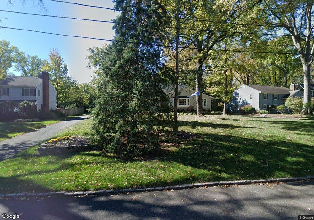
1418 Sylvan Ln Scotch Plains, NJ 07076
Estimated Value: $830,592 - $1,291,000
--
Bed
--
Bath
2,004
Sq Ft
$553/Sq Ft
Est. Value
About This Home
This home is located at 1418 Sylvan Ln, Scotch Plains, NJ 07076 and is currently estimated at $1,109,148, approximately $553 per square foot. 1418 Sylvan Ln is a home located in Union County with nearby schools including William J. McGinn Elementary School, Terrill Middle School, and Scotch Plains-Fanwood High School.
Ownership History
Date
Name
Owned For
Owner Type
Purchase Details
Closed on
Aug 13, 2008
Sold by
Keenan Daniel and Keenan Jessica
Bought by
Rinaldi Christopher J and Rinaldi Courtney V
Current Estimated Value
Home Financials for this Owner
Home Financials are based on the most recent Mortgage that was taken out on this home.
Original Mortgage
$417,000
Outstanding Balance
$271,258
Interest Rate
6.15%
Mortgage Type
Purchase Money Mortgage
Estimated Equity
$837,890
Purchase Details
Closed on
May 12, 2006
Sold by
Doebber Thomas W
Bought by
Keenan Daniel and Keenan Jessica
Home Financials for this Owner
Home Financials are based on the most recent Mortgage that was taken out on this home.
Original Mortgage
$583,200
Interest Rate
6.4%
Create a Home Valuation Report for This Property
The Home Valuation Report is an in-depth analysis detailing your home's value as well as a comparison with similar homes in the area
Home Values in the Area
Average Home Value in this Area
Purchase History
| Date | Buyer | Sale Price | Title Company |
|---|---|---|---|
| Rinaldi Christopher J | $730,000 | None Available | |
| Keenan Daniel | $729,000 | -- |
Source: Public Records
Mortgage History
| Date | Status | Borrower | Loan Amount |
|---|---|---|---|
| Open | Rinaldi Christopher J | $417,000 | |
| Previous Owner | Keenan Daniel | $583,200 |
Source: Public Records
Tax History Compared to Growth
Tax History
| Year | Tax Paid | Tax Assessment Tax Assessment Total Assessment is a certain percentage of the fair market value that is determined by local assessors to be the total taxable value of land and additions on the property. | Land | Improvement |
|---|---|---|---|---|
| 2025 | $16,663 | $141,600 | $47,300 | $94,300 |
| 2024 | $16,172 | $141,600 | $47,300 | $94,300 |
| 2023 | $16,172 | $141,600 | $47,300 | $94,300 |
| 2022 | $15,980 | $141,600 | $47,300 | $94,300 |
| 2021 | $15,953 | $141,600 | $47,300 | $94,300 |
| 2020 | $15,876 | $141,600 | $47,300 | $94,300 |
| 2019 | $15,759 | $141,600 | $47,300 | $94,300 |
| 2018 | $15,494 | $141,600 | $47,300 | $94,300 |
| 2017 | $15,150 | $141,600 | $47,300 | $94,300 |
| 2016 | $14,858 | $141,600 | $47,300 | $94,300 |
| 2015 | $14,615 | $141,600 | $47,300 | $94,300 |
| 2014 | $14,133 | $141,600 | $47,300 | $94,300 |
Source: Public Records
Map
Nearby Homes
- 1466 Lamberts Mill Rd
- 2154 W Broad St
- 119 Lamberts Mill Rd
- 314 Highgate Ave
- 2 Brookside Ct
- 1933 W Broad St
- 525 Edgar Rd
- 2116 Newark Ave
- 524 Edgar Rd
- 1933 Mary Ellen Ln
- 614 Dorian Rd
- 2 Dutch Ln
- 57 Rambling Dr
- 724 South Ave W Unit 724A
- 2212 Shady Ln
- 676 Vermont St
- 350 W Dudley Ave
- 538 Westfield Ave
- 2314 Longfellow Ave
- 187 King St
- 1412 Sylvan Ln
- 1424 Sylvan Ln
- 1413 Golf St
- 1419 Golf St
- 1430 Sylvan Ln
- 1407 Golf St
- 1417 Sylvan Ln
- 1406 Sylvan Ln
- 1423 Sylvan Ln
- 1411 Sylvan Ln
- 1429 Sylvan Ln
- 1425 Golf St
- 1400 Sylvan Ln
- 1405 Sylvan Ln
- 1401 Golf St
- 2145 Seward Dr
- 2092 Brookside Dr
- 2120 Seward Dr
- 1400 Lamberts Mill Rd
- 1408 Lamberts Mill Rd