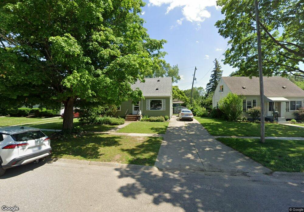
1419 Mulberry Ln Flint, MI 48507
Westgate NeighborhoodEstimated Value: $74,000 - $91,000
3
Beds
2
Baths
1,100
Sq Ft
$76/Sq Ft
Est. Value
About This Home
This home is located at 1419 Mulberry Ln, Flint, MI 48507 and is currently estimated at $83,078, approximately $75 per square foot. 1419 Mulberry Ln is a home located in Genesee County with nearby schools including Neithercut Elementary School, Flint Southwestern Classical Academy, and International Academy of Flint (K-12).
Ownership History
Date
Name
Owned For
Owner Type
Purchase Details
Closed on
Oct 14, 2021
Sold by
Sarver Carle L
Bought by
Gerics Daniel and Lakey Kristina
Current Estimated Value
Purchase Details
Closed on
Feb 11, 2000
Sold by
Benson Barbara A
Bought by
Sarver Carie L
Home Financials for this Owner
Home Financials are based on the most recent Mortgage that was taken out on this home.
Original Mortgage
$57,950
Interest Rate
8.16%
Mortgage Type
FHA
Create a Home Valuation Report for This Property
The Home Valuation Report is an in-depth analysis detailing your home's value as well as a comparison with similar homes in the area
Home Values in the Area
Average Home Value in this Area
Purchase History
| Date | Buyer | Sale Price | Title Company |
|---|---|---|---|
| Gerics Daniel | $60,000 | Liberty Title | |
| Sarver Carie L | $58,000 | First American Title |
Source: Public Records
Mortgage History
| Date | Status | Borrower | Loan Amount |
|---|---|---|---|
| Previous Owner | Sarver Carie L | $57,950 |
Source: Public Records
Tax History
| Year | Tax Paid | Tax Assessment Tax Assessment Total Assessment is a certain percentage of the fair market value that is determined by local assessors to be the total taxable value of land and additions on the property. | Land | Improvement |
|---|---|---|---|---|
| 2025 | $1,880 | $37,300 | $0 | $0 |
| 2024 | $1,725 | $34,600 | $0 | $0 |
| 2023 | $1,673 | $26,700 | $0 | $0 |
| 2022 | $0 | $20,500 | $0 | $0 |
| 2021 | $1,363 | $18,500 | $0 | $0 |
| 2020 | $974 | $17,100 | $0 | $0 |
| 2019 | $945 | $15,400 | $0 | $0 |
| 2018 | $959 | $14,300 | $0 | $0 |
| 2017 | $1,003 | $0 | $0 | $0 |
| 2016 | $996 | $0 | $0 | $0 |
| 2015 | -- | $0 | $0 | $0 |
| 2014 | -- | $0 | $0 | $0 |
| 2012 | -- | $18,600 | $0 | $0 |
Source: Public Records
Map
Nearby Homes
- 1310 Alvord Ave
- 1310 Huron St
- 1410 Berrywood Ln
- 1234 Huron St
- 1318 Ingleside Ave
- 1514 W Atherton Rd
- 1826 Greenbrook Ln
- 1210 Pinehurst Ave
- 4302 Huckleberry Ln
- 1130 W Atherton Rd
- 1125 Ingleside Ave
- 1627 Blackberry Ln
- 1506 Pettibone Ave
- 1028 Campbell St
- 1015 Alvord Ave
- 1413 Lincoln Ave
- 4502 Huckleberry Ln
- 1122 Markham St
- 925 Leland St
- 4101 Greenbrook Ln
- 1413 Mulberry Ln
- 1425 Mulberry Ln
- 1410 Blueberry Ln
- 1407 Mulberry Ln
- 1501 Mulberry Ln
- 1406 Blueberry Ln
- 1414 Blueberry Ln
- 1401 Mulberry Ln
- 1418 Mulberry Ln
- 1402 Blueberry Ln
- 1414 Mulberry Ln
- 1422 Mulberry Ln
- 1426 Mulberry Ln
- 1410 Mulberry Ln
- 1505 Mulberry Ln
- 1509 Mulberry Ln
- 1502 Mulberry Ln
- 1422 Blueberry Ln
- 1406 Mulberry Ln
- 1506 Mulberry Ln
Your Personal Tour Guide
Ask me questions while you tour the home.