1419 N Canfield Rd Eaton Rapids, MI 48827
Estimated Value: $279,000 - $401,923
3
Beds
2
Baths
1,436
Sq Ft
$237/Sq Ft
Est. Value
About This Home
This home is located at 1419 N Canfield Rd, Eaton Rapids, MI 48827 and is currently estimated at $339,981, approximately $236 per square foot. 1419 N Canfield Rd is a home located in Eaton County with nearby schools including Lockwood Elementary School, Greyhound Intermediate School, and Eaton Rapids Middle School.
Ownership History
Date
Name
Owned For
Owner Type
Purchase Details
Closed on
Sep 23, 2004
Sold by
Stults Jill E and Dehnert Jill E
Bought by
Fitzgerald Edward A and Fitzgerald Carla J
Current Estimated Value
Home Financials for this Owner
Home Financials are based on the most recent Mortgage that was taken out on this home.
Original Mortgage
$144,000
Outstanding Balance
$71,579
Interest Rate
5.93%
Mortgage Type
New Conventional
Estimated Equity
$268,402
Create a Home Valuation Report for This Property
The Home Valuation Report is an in-depth analysis detailing your home's value as well as a comparison with similar homes in the area
Home Values in the Area
Average Home Value in this Area
Purchase History
| Date | Buyer | Sale Price | Title Company |
|---|---|---|---|
| Fitzgerald Edward A | $180,000 | Transnation |
Source: Public Records
Mortgage History
| Date | Status | Borrower | Loan Amount |
|---|---|---|---|
| Open | Fitzgerald Edward A | $144,000 | |
| Closed | Fitzgerald Edward A | $36,000 |
Source: Public Records
Tax History Compared to Growth
Tax History
| Year | Tax Paid | Tax Assessment Tax Assessment Total Assessment is a certain percentage of the fair market value that is determined by local assessors to be the total taxable value of land and additions on the property. | Land | Improvement |
|---|---|---|---|---|
| 2025 | $3,953 | $177,900 | $0 | $0 |
| 2024 | $1,473 | $163,100 | $0 | $0 |
| 2023 | $1,403 | $143,500 | $0 | $0 |
| 2022 | $3,424 | $132,100 | $0 | $0 |
| 2021 | $3,323 | $126,600 | $0 | $0 |
| 2020 | $3,207 | $120,300 | $0 | $0 |
| 2019 | $3,163 | $111,100 | $0 | $0 |
| 2018 | $3,089 | $104,600 | $36,900 | $67,700 |
| 2017 | $2,921 | $104,600 | $36,900 | $67,700 |
| 2016 | -- | $104,600 | $36,900 | $67,700 |
| 2015 | -- | $104,600 | $36,900 | $67,700 |
| 2014 | -- | $101,190 | $0 | $0 |
| 2013 | -- | $99,600 | $0 | $0 |
Source: Public Records
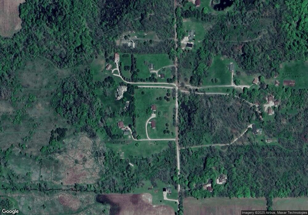
Map
Nearby Homes
- 8595 Columbia Hwy
- 8905 Kingsland Hwy
- 5375 Island Hwy
- 4087 N Gunnell Rd
- 9469 Rossman Hwy
- 177 Elizabeth Way Unit 80
- V / L S Canfield Rd
- 103 Thornway St
- 118 Elizabeth Way Unit 4
- 1204 Hancock Ct
- 401 Salem Dr
- 704 Crockett Dr Unit 155
- 3073 N Stewart Rd
- 2706 Patrick Henry Ct
- Elements 2070 Plan at Cambria Ridge
- Integrity 1880 Plan at Cambria Ridge
- Elements 1680 Plan at Cambria Ridge
- Integrity 1460 Plan at Cambria Ridge
- Integrity 2061 V8.1a Plan at Cambria Ridge
- Elements 2200 Plan at Cambria Ridge
- 1443 N Canfield Rd
- 1385 N Canfield Rd
- 1487 N Canfield Rd
- 1479 N Canfield Rd
- 1521 N Canfield Rd
- 1245 N Canfield Rd
- 1510 N Canfield Rd
- 1258 N Canfield Rd
- 1308 N Canfield Rd
- 1480 N Canfield Rd
- 1596 N Canfield Rd
- 1438 N Canfield Rd
- 1646 N Canfield Rd
- 1105 N Canfield Rd
- 1057 N Canfield Rd
- 999 N Canfield Rd
- 1800 N Canfield Rd
- 1599 Scout Rd
- 1521 Scout Rd