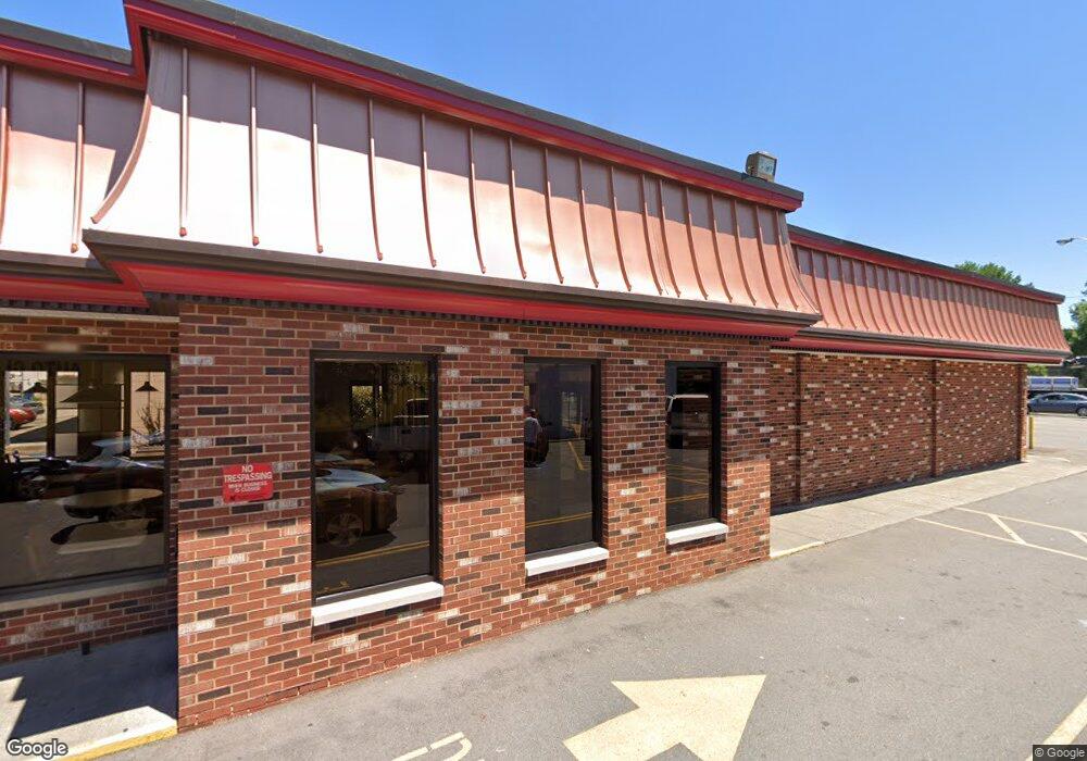
1419 Williamson Rd NE Roanoke, VA 24012
Williamson Road NeighborhoodEstimated Value: $2,003,248
Studio
--
Bath
2,730
Sq Ft
$734/Sq Ft
Est. Value
About This Home
This home is located at 1419 Williamson Rd NE, Roanoke, VA 24012 and is currently estimated at $2,003,248, approximately $733 per square foot. 1419 Williamson Rd NE is a home located in Roanoke City with nearby schools including Lincoln Terrace Elementary School, Lucy Addison Middle School, and William Fleming High School.
Ownership History
Date
Name
Owned For
Owner Type
Purchase Details
Closed on
Feb 19, 2015
Sold by
Ium-Mp Multi State Llc
Bought by
National Retail Properties Lp
Current Estimated Value
Purchase Details
Closed on
Jun 6, 2013
Sold by
Cnl Apf Partners Lp
Bought by
Kim-Mp Multi State Llc
Purchase Details
Closed on
Oct 5, 2005
Sold by
Ge Capital Franchise Finance Corp
Bought by
Cnl Apf Partners Lp
Create a Home Valuation Report for This Property
The Home Valuation Report is an in-depth analysis detailing your home's value as well as a comparison with similar homes in the area
Home Values in the Area
Average Home Value in this Area
Purchase History
| Date | Buyer | Sale Price | Title Company |
|---|---|---|---|
| National Retail Properties Lp | $882,001 | First American Title Ins Co | |
| Kim-Mp Multi State Llc | $963,066 | First American Title Ins Co | |
| Cnl Apf Partners Lp | $791,318 | None Available |
Source: Public Records
Tax History
| Year | Tax Paid | Tax Assessment Tax Assessment Total Assessment is a certain percentage of the fair market value that is determined by local assessors to be the total taxable value of land and additions on the property. | Land | Improvement |
|---|---|---|---|---|
| 2025 | $9,340 | $643,000 | $236,800 | $406,200 |
| 2024 | $9,340 | $621,400 | $215,200 | $406,200 |
| 2023 | $8,996 | $564,900 | $195,600 | $369,300 |
| 2022 | $7,932 | $554,100 | $195,600 | $358,500 |
| 2021 | $7,843 | $554,100 | $195,600 | $358,500 |
| 2020 | $7,843 | $554,100 | $195,600 | $358,500 |
| 2019 | $7,623 | $537,400 | $195,600 | $341,800 |
| 2018 | $7,379 | $518,900 | $195,600 | $323,300 |
| 2017 | $6,818 | $476,400 | $162,900 | $313,500 |
| 2016 | $6,807 | $476,400 | $162,900 | $313,500 |
| 2015 | $6,146 | $476,400 | $162,900 | $313,500 |
| 2014 | $6,146 | $476,400 | $162,900 | $313,500 |
Source: Public Records
Map
Nearby Homes
- 1606 Wayne St NE
- 1622 Wayne St NE
- 330 Maddock Ave NE
- 2001 Colgate St NE
- 2108 Wayne St NE
- 110 Clover Ave NE
- 0 Byrd Ave NE
- 2126 Colgate St NE
- 28 Hillcrest Ave NE
- 2218 Larchwood St NE
- 635 Queen Ave NW
- 0 Templeton Ave NE
- 1408 Varnell Ave NE
- 2233 Byrd Ave NE
- 1417 Varnell Ave NE
- 2241 Byrd Ave NE
- 2712 Meadows St NW
- 1426 Varnell Ave NE
- 1427 Varnell Ave NE
- 117 16th St SE
- 1423 Williamson Rd NE
- 1409 Williamson Rd NE
- 1403 Williamson Rd NE
- 1506 Compton St NE
- 1501 Compton St NE
- 1505 Williamson Rd NE
- 1402 Williamson Rd NE
- 1513 Williamson Rd NE
- 1509 Compton St NE
- 1516 Compton St NE
- 1520 Compton St NE
- 1324 Williamson Rd NE
- 1524 Compton St NE
- 1322 Williamson Rd NE
- 1519 Williamson Rd NE
- 511 Pocahontas Ave NE
- 1523 Compton St NE
- 1523 Compton St NE Unit 7
- 426 Carver Ave NE
- 518 Pocahontas Ave NE
Your Personal Tour Guide
Ask me questions while you tour the home.