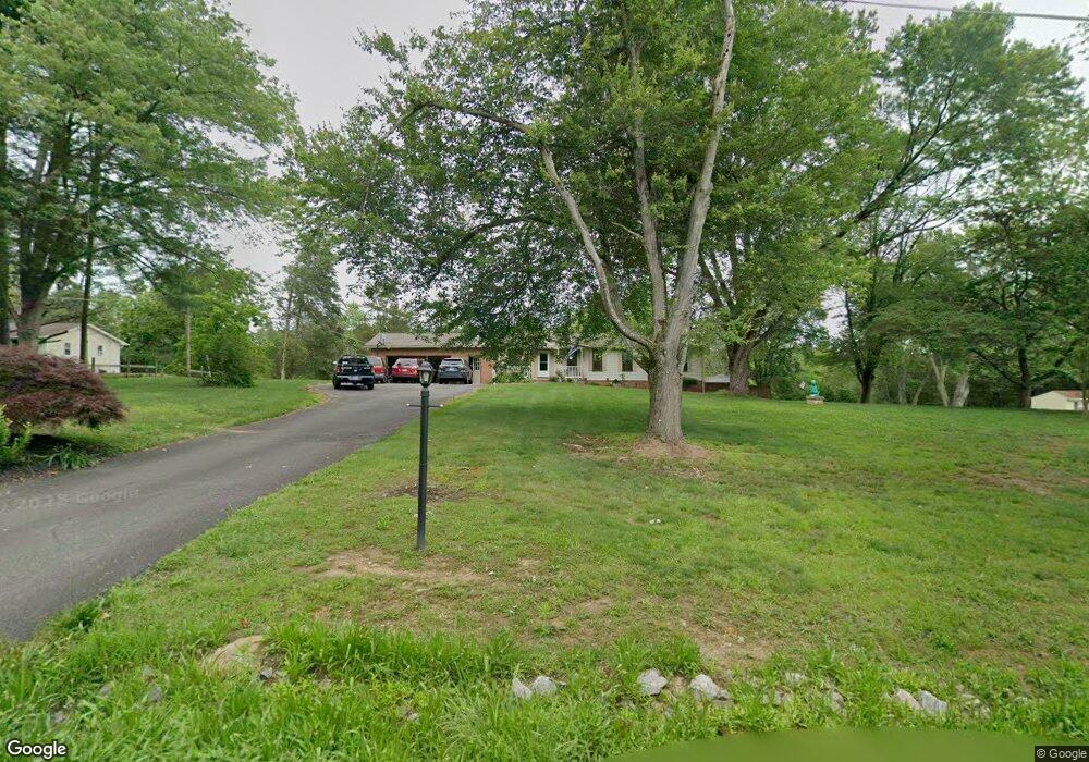
14197 Van Doren Rd Manassas, VA 20112
Estimated Value: $549,000 - $717,000
3
Beds
3
Baths
1,196
Sq Ft
$515/Sq Ft
Est. Value
About This Home
This home is located at 14197 Van Doren Rd, Manassas, VA 20112 and is currently estimated at $615,431, approximately $514 per square foot. 14197 Van Doren Rd is a home located in Prince William County with nearby schools including Coles Elementary School, Charles J. Colgan Senior High School, and Louise A. Benton Middle School.
Ownership History
Date
Name
Owned For
Owner Type
Purchase Details
Closed on
Apr 7, 2011
Sold by
Roman Alice Kathleen and Abt Robert E
Bought by
Roman Alice Kathleen and Roman Michael Francis
Current Estimated Value
Home Financials for this Owner
Home Financials are based on the most recent Mortgage that was taken out on this home.
Original Mortgage
$204,000
Interest Rate
4.37%
Mortgage Type
New Conventional
Create a Home Valuation Report for This Property
The Home Valuation Report is an in-depth analysis detailing your home's value as well as a comparison with similar homes in the area
Home Values in the Area
Average Home Value in this Area
Purchase History
| Date | Buyer | Sale Price | Title Company |
|---|---|---|---|
| Roman Alice Kathleen | -- | Lsi |
Source: Public Records
Mortgage History
| Date | Status | Borrower | Loan Amount |
|---|---|---|---|
| Closed | Roman Alice Kathleen | $204,000 |
Source: Public Records
Tax History
| Year | Tax Paid | Tax Assessment Tax Assessment Total Assessment is a certain percentage of the fair market value that is determined by local assessors to be the total taxable value of land and additions on the property. | Land | Improvement |
|---|---|---|---|---|
| 2025 | $4,712 | $503,800 | $214,400 | $289,400 |
| 2024 | $4,712 | $473,800 | $202,300 | $271,500 |
| 2023 | $4,639 | $445,800 | $189,100 | $256,700 |
| 2022 | $4,893 | $431,500 | $181,600 | $249,900 |
| 2021 | $4,517 | $368,100 | $155,100 | $213,000 |
| 2020 | $5,366 | $346,200 | $144,800 | $201,400 |
| 2019 | $5,472 | $353,000 | $147,600 | $205,400 |
| 2018 | $4,083 | $338,100 | $147,600 | $190,500 |
| 2017 | $3,862 | $311,000 | $147,600 | $163,400 |
| 2016 | $3,672 | $298,100 | $140,700 | $157,400 |
| 2015 | $3,786 | $323,300 | $151,700 | $171,600 |
| 2014 | $3,786 | $301,200 | $140,200 | $161,000 |
Source: Public Records
Map
Nearby Homes
- 14010 Auryana Ct
- 6919 Tifton Ct
- 13436 Celtic Ln
- 6201 Carters Grove Dr
- 13647 Van Doren Rd
- 5837 Rhode Island Dr
- 13806 Right Ct
- 13537 Pace Ct
- 6910 Token Valley Rd
- 5864 Anthony Dr
- 5850 Anthony Dr
- 13596 Pancreek Ct
- 13485 Carapace Ct
- 14791 Conway Dr
- 13357 Pelican Rd
- 14158 Rockinghorse Dr
- 5729 Rhode Island Dr
- 5842 Riverside Dr
- 5568 Roundtree Dr
- 13151 Opal Ln
- 14193 Van Doren Rd
- 14201 Van Doren Rd
- 14189 Van Doren Rd
- 14109 Van Doren Rd
- 14205 Van Doren Rd
- 14185 Van Doren Rd
- 6793 Lochmere Dr
- 14069 Wellman Ct
- 14209 Van Doren Rd
- 14063 Wellman Ct
- 14057 Wellman Ct
- 14075 Wellman Ct
- 14129 Van Doren Rd
- 14081 Wellman Ct
- 14213 Van Doren Rd
- 14051 Wellman Ct
- 6730 Bessie Watson Ln
- 13981 Van Doren Rd
- 14087 Wellman Ct
- 6735 Bessie Watson Ln
Your Personal Tour Guide
Ask me questions while you tour the home.