142 Bluestern Way Jasper, GA 30143
Estimated Value: $1,024,134 - $1,150,000
4
Beds
4
Baths
2,234
Sq Ft
$482/Sq Ft
Est. Value
About This Home
This home is located at 142 Bluestern Way, Jasper, GA 30143 and is currently estimated at $1,076,034, approximately $481 per square foot. 142 Bluestern Way is a home located in Dawson County with nearby schools including Robinson Elementary School, Dawson County Junior High School, and Dawson County Middle School.
Ownership History
Date
Name
Owned For
Owner Type
Purchase Details
Closed on
Aug 25, 2017
Sold by
Charles Lanz
Bought by
Decinque Donald A and Decinque Audrey L
Current Estimated Value
Home Financials for this Owner
Home Financials are based on the most recent Mortgage that was taken out on this home.
Original Mortgage
$415,000
Outstanding Balance
$346,741
Interest Rate
3.92%
Mortgage Type
New Conventional
Estimated Equity
$729,293
Purchase Details
Closed on
Mar 20, 2015
Sold by
Mountain Grp Iv Llc
Bought by
Lanz Charles and Lanz Billie
Purchase Details
Closed on
Jun 20, 2005
Sold by
Big Canoe Co
Bought by
Mountain Grp Iv Llc
Home Financials for this Owner
Home Financials are based on the most recent Mortgage that was taken out on this home.
Original Mortgage
$92,000
Interest Rate
5.66%
Mortgage Type
New Conventional
Create a Home Valuation Report for This Property
The Home Valuation Report is an in-depth analysis detailing your home's value as well as a comparison with similar homes in the area
Home Values in the Area
Average Home Value in this Area
Purchase History
| Date | Buyer | Sale Price | Title Company |
|---|---|---|---|
| Decinque Donald A | $592,000 | -- | |
| Lanz Charles | $65,000 | -- | |
| Mountain Grp Iv Llc | $140,000 | -- |
Source: Public Records
Mortgage History
| Date | Status | Borrower | Loan Amount |
|---|---|---|---|
| Open | Decinque Donald A | $415,000 | |
| Previous Owner | Mountain Grp Iv Llc | $92,000 |
Source: Public Records
Tax History Compared to Growth
Tax History
| Year | Tax Paid | Tax Assessment Tax Assessment Total Assessment is a certain percentage of the fair market value that is determined by local assessors to be the total taxable value of land and additions on the property. | Land | Improvement |
|---|---|---|---|---|
| 2024 | $3,681 | $359,960 | $30,000 | $329,960 |
| 2023 | $5,822 | $374,640 | $30,000 | $344,640 |
| 2022 | $6,521 | $306,400 | $42,000 | $264,400 |
| 2021 | $5,934 | $264,280 | $42,000 | $222,280 |
| 2020 | $6,092 | $259,440 | $42,000 | $217,440 |
| 2019 | $5,830 | $246,280 | $42,000 | $204,280 |
| 2018 | $5,914 | $249,280 | $45,000 | $204,280 |
| 2017 | $4,364 | $182,482 | $28,000 | $154,482 |
| 2016 | $1,989 | $85,151 | $28,000 | $57,151 |
| 2015 | $691 | $28,000 | $28,000 | $0 |
| 2014 | $714 | $28,000 | $28,000 | $0 |
| 2013 | -- | $28,000 | $28,000 | $0 |
Source: Public Records
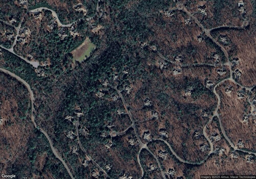
Map
Nearby Homes
- 3356 Bee Balm Way
- 46 Bee Balm Way
- 3461 Wild Pansy Ridge
- 160 Bluestern Dr
- 3285 Wood Poppy Dr
- 98 Bobcat Ridge Dr
- 838 Wildcat Trail
- 442 Blazingstar Trail
- 331 Bluestern Dr SE
- 0 Steve Tate Hwy Unit 24631406
- 285 Bear Creek Dr
- 39 Bear Creek Dr
- 495 Bear Creek Dr
- 199 Wood Poppy View
- 44 Sassafras Ridge
- 312 Wildcat Dr
- 121 Sunuwa Way
- 159 Cinnamon Fern Ln
- 133 Cliff Fern Point
- 68 Wood Fern Knoll
- 141 Blue Sage Cir
- 89 Bluestern Dr NW
- 86 Bluestern Dr NW
- 3395 Blue Sage Cir
- 3410 Wildcat Trail
- 73 Blue Sage Cir
- 188 Blue Sage Cir
- 188 Blue Sage Cir Unit 3395
- 56 Bluestern Way SE
- 647 Wildcat Trail
- 3404 Widlcat Trail
- 25 Bluestern Dr SE
- 543 Wildcat Trail
- 15 Blue Sage Cir
- 529 Wildcat Trail
- 236 Wild Pansy Cir
- 28 Bluestern Dr SE
- 39 White Aster Ln
- 39 White Aster Ln Unit 3435
- 22 Blue Sage Cir