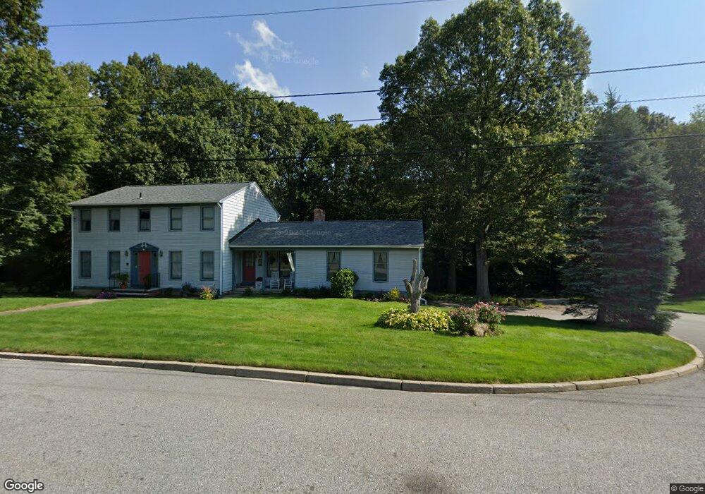
142 Council Rock Rd Cranston, RI 02921
Comstock Gardens NeighborhoodEstimated Value: $791,822 - $1,026,000
4
Beds
4
Baths
3,300
Sq Ft
$261/Sq Ft
Est. Value
About This Home
This home is located at 142 Council Rock Rd, Cranston, RI 02921 and is currently estimated at $862,206, approximately $261 per square foot. 142 Council Rock Rd is a home located in Providence County with nearby schools including Orchard Farms El. School, Western Hills Middle School, and Cranston High School West.
Ownership History
Date
Name
Owned For
Owner Type
Purchase Details
Closed on
Nov 18, 1996
Sold by
Card John W and Card Pauline
Bought by
Smith David M and Smith Elizabeth
Current Estimated Value
Create a Home Valuation Report for This Property
The Home Valuation Report is an in-depth analysis detailing your home's value as well as a comparison with similar homes in the area
Home Values in the Area
Average Home Value in this Area
Purchase History
| Date | Buyer | Sale Price | Title Company |
|---|---|---|---|
| Smith David M | $220,000 | -- |
Source: Public Records
Mortgage History
| Date | Status | Borrower | Loan Amount |
|---|---|---|---|
| Open | Smith David M | $85,000 | |
| Closed | Smith David M | $100,000 | |
| Closed | Smith David M | $120,000 |
Source: Public Records
Tax History
| Year | Tax Paid | Tax Assessment Tax Assessment Total Assessment is a certain percentage of the fair market value that is determined by local assessors to be the total taxable value of land and additions on the property. | Land | Improvement |
|---|---|---|---|---|
| 2025 | $8,804 | $634,300 | $162,300 | $472,000 |
| 2024 | $8,633 | $634,300 | $162,300 | $472,000 |
| 2023 | $8,855 | $468,500 | $120,400 | $348,100 |
| 2022 | $8,672 | $468,500 | $120,400 | $348,100 |
| 2021 | $8,433 | $468,500 | $120,400 | $348,100 |
| 2020 | $7,942 | $382,400 | $129,000 | $253,400 |
| 2019 | $7,942 | $382,400 | $129,000 | $253,400 |
| 2018 | $7,759 | $382,400 | $129,000 | $253,400 |
| 2017 | $8,031 | $350,100 | $116,100 | $234,000 |
| 2016 | $7,860 | $350,100 | $116,100 | $234,000 |
| 2015 | $7,860 | $350,100 | $116,100 | $234,000 |
| 2014 | $7,859 | $344,100 | $129,000 | $215,100 |
Source: Public Records
Map
Nearby Homes
- 141 Fox Ridge Dr
- 20 Doreen Ct
- 65 Janet Dr
- 102 Moccasin Trail
- 25 Janet Dr
- 105 Amy Dr
- 95 Amy Dr
- 121 Ashbrook Dr
- 0 Anthony Dr Unit 1394338
- 9 Gray Coach Ln Unit 911
- 1835 Plainfield Pike
- 1757 Plainfield Pike
- 72 Westfield Dr
- 1495 Pippin Orchard Rd
- 7 Taylor Rd
- 311 Hope Rd
- 244 Stony Acre Dr
- 02 Paula Ln
- 01 Paula Ln
- 27 Nardolillo St
- 140 Council Rock Rd
- 150 Council Rock Rd
- 46 Horizon Dr
- 132 Council Rock Rd
- 137 Council Rock Rd
- 45 Horizon Dr
- 133 Council Rock Rd
- 154 Council Rock Rd
- 128 Council Rock Rd
- 39 Horizon Dr
- 155 Council Rock Rd
- 40 Horizon Dr
- 85 Regina Dr
- 160 Council Rock Rd
- 2 Stream Dr
- 7 Classic Ct
- 26 Stream Dr
- 8 Stream Dr
- 14 Coletta Ct
- 11 Coletta Ct
Your Personal Tour Guide
Ask me questions while you tour the home.