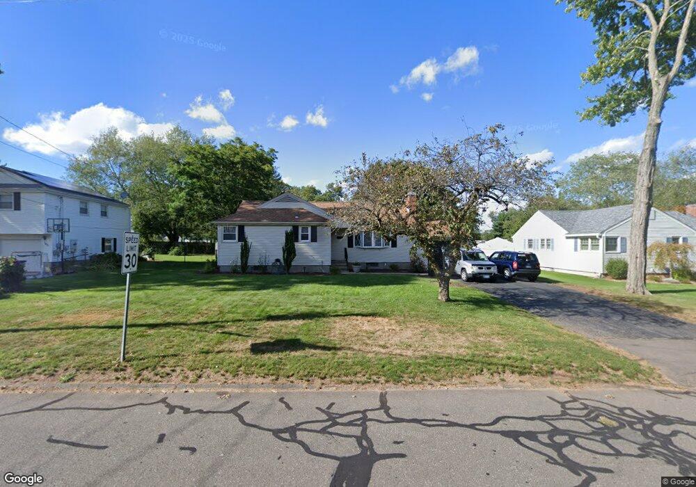
142 Dale Rd Wethersfield, CT 06109
Estimated Value: $405,000 - $429,436
2
Beds
3
Baths
1,504
Sq Ft
$280/Sq Ft
Est. Value
About This Home
This home is located at 142 Dale Rd, Wethersfield, CT 06109 and is currently estimated at $421,609, approximately $280 per square foot. 142 Dale Rd is a home located in Hartford County with nearby schools including Emerson-Williams School, Silas Deane Middle School, and Wethersfield High School.
Ownership History
Date
Name
Owned For
Owner Type
Purchase Details
Closed on
Nov 15, 2022
Sold by
Anzellotti Paula
Bought by
Nyser Frances
Current Estimated Value
Home Financials for this Owner
Home Financials are based on the most recent Mortgage that was taken out on this home.
Original Mortgage
$247,200
Outstanding Balance
$239,521
Interest Rate
6.94%
Mortgage Type
Purchase Money Mortgage
Estimated Equity
$182,089
Purchase Details
Closed on
Jun 20, 2003
Sold by
Dinucci Linda A and Sweeney Diane M
Bought by
Anzellotti Paula
Home Financials for this Owner
Home Financials are based on the most recent Mortgage that was taken out on this home.
Original Mortgage
$124,000
Interest Rate
5.71%
Create a Home Valuation Report for This Property
The Home Valuation Report is an in-depth analysis detailing your home's value as well as a comparison with similar homes in the area
Home Values in the Area
Average Home Value in this Area
Purchase History
| Date | Buyer | Sale Price | Title Company |
|---|---|---|---|
| Nyser Frances | $309,000 | None Available | |
| Anzellotti Paula | $214,000 | -- |
Source: Public Records
Mortgage History
| Date | Status | Borrower | Loan Amount |
|---|---|---|---|
| Open | Nyser Frances | $247,200 | |
| Previous Owner | Anzellotti Paula | $212,500 | |
| Previous Owner | Anzellotti Paula | $208,000 | |
| Previous Owner | Anzellotti Paula | $30,000 | |
| Previous Owner | Anzellotti Paula | $124,000 |
Source: Public Records
Tax History Compared to Growth
Tax History
| Year | Tax Paid | Tax Assessment Tax Assessment Total Assessment is a certain percentage of the fair market value that is determined by local assessors to be the total taxable value of land and additions on the property. | Land | Improvement |
|---|---|---|---|---|
| 2025 | $10,204 | $247,540 | $94,740 | $152,800 |
| 2024 | $6,958 | $161,000 | $73,500 | $87,500 |
| 2023 | $6,727 | $161,000 | $73,500 | $87,500 |
| 2022 | $6,614 | $161,000 | $73,500 | $87,500 |
| 2021 | $6,548 | $161,000 | $73,500 | $87,500 |
| 2020 | $6,551 | $161,000 | $73,500 | $87,500 |
| 2019 | $6,559 | $161,000 | $73,500 | $87,500 |
| 2018 | $6,500 | $159,400 | $71,500 | $87,900 |
| 2017 | $6,339 | $159,400 | $71,500 | $87,900 |
| 2016 | $6,143 | $159,400 | $71,500 | $87,900 |
| 2015 | $6,087 | $159,400 | $71,500 | $87,900 |
| 2014 | $5,856 | $159,400 | $71,500 | $87,900 |
Source: Public Records
Map
Nearby Homes
- 122 Dix Rd
- 82 Dale Rd
- 87 Dale Rd
- 51 Olney Rd
- 373 Wells Rd
- 20 Gracewell Rd
- 819 Wolcott Hill Rd
- 155 Prospect St
- 110 Wells Farm Dr
- 118 Stillwold Dr
- 442 Wolcott Hill Rd
- 108 Chamberlain Rd
- 104 Willow St
- 615 Ridge Rd
- 215 Pine Ln
- 133 Colonel Chester Dr
- 219 Crest St
- 177 Spring St Unit 177
- 55 Rutledge Rd
- 86 Amherst St