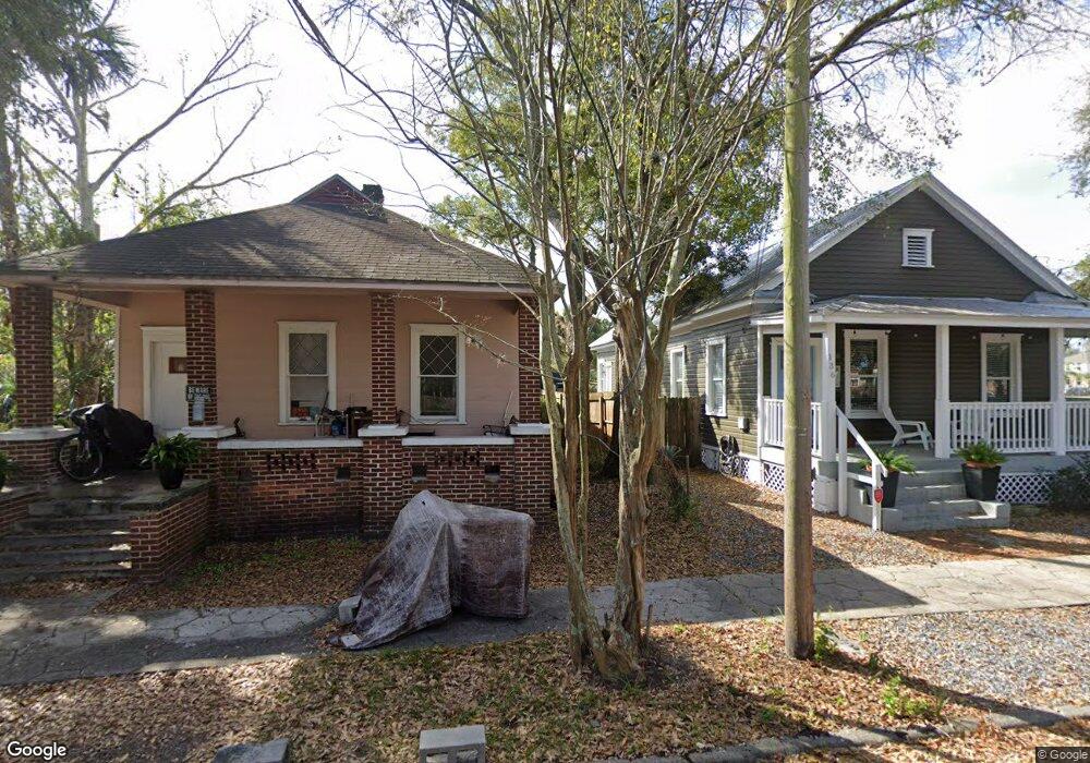
142 Drysdale St Jacksonville, FL 32206
Springfield NeighborhoodEstimated Value: $166,118 - $240,000
3
Beds
1
Bath
1,172
Sq Ft
$177/Sq Ft
Est. Value
About This Home
This home is located at 142 Drysdale St, Jacksonville, FL 32206 and is currently estimated at $207,030, approximately $176 per square foot. 142 Drysdale St is a home located in Duval County with nearby schools including Andrew A. Robinson Elementary School, Matthew W. Gilbert Middle School, and William M. Raines High School.
Ownership History
Date
Name
Owned For
Owner Type
Purchase Details
Closed on
Apr 24, 2002
Sold by
State Of Florida/County Of Duval
Bought by
Cuartas Andres
Current Estimated Value
Purchase Details
Closed on
Jul 6, 1994
Sold by
Abell James R and Abell Odelle G
Bought by
Camio Investment International Inc
Home Financials for this Owner
Home Financials are based on the most recent Mortgage that was taken out on this home.
Original Mortgage
$3,250
Interest Rate
8.52%
Mortgage Type
Seller Take Back
Create a Home Valuation Report for This Property
The Home Valuation Report is an in-depth analysis detailing your home's value as well as a comparison with similar homes in the area
Home Values in the Area
Average Home Value in this Area
Purchase History
| Date | Buyer | Sale Price | Title Company |
|---|---|---|---|
| Cuartas Andres | $6,500 | -- | |
| Camio Investment International Inc | $7,200 | -- |
Source: Public Records
Mortgage History
| Date | Status | Borrower | Loan Amount |
|---|---|---|---|
| Previous Owner | Camio Investment International Inc | $3,250 |
Source: Public Records
Tax History Compared to Growth
Tax History
| Year | Tax Paid | Tax Assessment Tax Assessment Total Assessment is a certain percentage of the fair market value that is determined by local assessors to be the total taxable value of land and additions on the property. | Land | Improvement |
|---|---|---|---|---|
| 2025 | $1,998 | $103,008 | -- | -- |
| 2024 | $1,878 | $111,524 | $40,131 | $71,393 |
| 2023 | $1,878 | $106,474 | $32,596 | $73,878 |
| 2022 | $1,629 | $95,443 | $29,484 | $65,959 |
| 2021 | $1,490 | $78,409 | $27,355 | $51,054 |
| 2020 | $1,353 | $66,461 | $17,199 | $49,262 |
| 2019 | $1,268 | $60,898 | $13,923 | $46,975 |
| 2018 | $1,180 | $55,332 | $11,630 | $43,702 |
| 2017 | $1,130 | $54,592 | $11,630 | $42,962 |
| 2016 | $1,023 | $43,688 | $0 | $0 |
| 2015 | $1,051 | $44,890 | $0 | $0 |
| 2014 | $994 | $42,330 | $0 | $0 |
Source: Public Records
Map
Nearby Homes
- 2068 Redwing + (2 Unit Duplex) St
- 1936 N Market St
- 2002 N Liberty St
- 1954 Hubbard St
- 32 E 10th St
- 234 E 9th St
- 1842 Hubbard St
- 1820 N Market St
- 110 E 15th St
- 0 E 15th St
- 30 W 12th St
- 249 E 15th St
- 1838 Walnut St
- 0 W 9th St Unit 2104702
- 221 E 7th St
- 2622 N Market St
- 25 E 16th St
- 19 E 16th St
- 141 W 9th St
- 423 Walnut Ct
- 147 Drysdale St
- 2040 N Market St
- 2050 N Market St
- 135 Drysdale St
- 0 Drysdale St
- 2058 N Market St
- 152 Drysdale St
- 2024 N Market St
- 2060 N Market St
- 2027 Market St
- 2047 N Market St
- 2016 N Market St
- 2039 N Market St
- 2051 N Market St
- 150 E 11th St
- 2033 N Market St
- 126 E 11th St
- 126 E 11th St Unit 2
- 126 E 11th St Unit 1
- 111 E 11th St