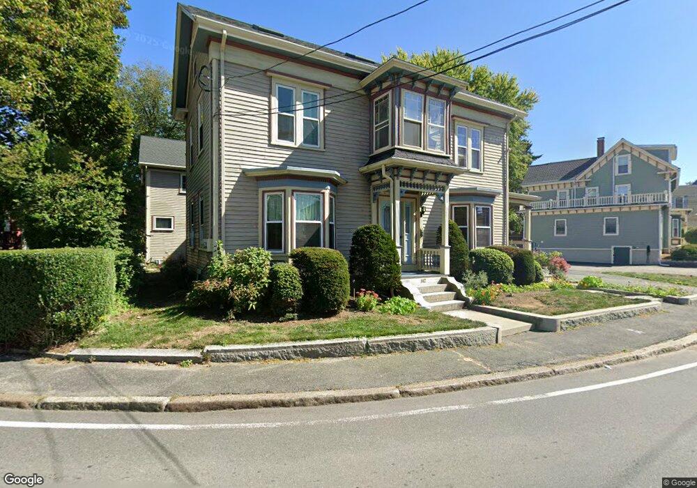
142 E Main St Unit A Gloucester, MA 01930
East Gloucester NeighborhoodEstimated Value: $458,000 - $530,000
2
Beds
1
Bath
1,033
Sq Ft
$473/Sq Ft
Est. Value
About This Home
This home is located at 142 E Main St Unit A, Gloucester, MA 01930 and is currently estimated at $488,114, approximately $472 per square foot. 142 E Main St Unit A is a home located in Essex County with nearby schools including East Gloucester Elementary School, Ralph B O'maley Middle School, and Gloucester High School.
Ownership History
Date
Name
Owned For
Owner Type
Purchase Details
Closed on
Jul 31, 1997
Sold by
Rogala Linda M
Bought by
Souza Katharine
Current Estimated Value
Home Financials for this Owner
Home Financials are based on the most recent Mortgage that was taken out on this home.
Original Mortgage
$89,000
Interest Rate
7.55%
Mortgage Type
Purchase Money Mortgage
Create a Home Valuation Report for This Property
The Home Valuation Report is an in-depth analysis detailing your home's value as well as a comparison with similar homes in the area
Home Values in the Area
Average Home Value in this Area
Purchase History
| Date | Buyer | Sale Price | Title Company |
|---|---|---|---|
| Souza Katharine | $99,000 | -- |
Source: Public Records
Mortgage History
| Date | Status | Borrower | Loan Amount |
|---|---|---|---|
| Open | Souza Katharine | $89,000 | |
| Closed | Souza Katharine | $89,000 | |
| Closed | Souza Katharine | $89,000 |
Source: Public Records
Tax History
| Year | Tax Paid | Tax Assessment Tax Assessment Total Assessment is a certain percentage of the fair market value that is determined by local assessors to be the total taxable value of land and additions on the property. | Land | Improvement |
|---|---|---|---|---|
| 2025 | $3,834 | $394,400 | $0 | $394,400 |
| 2024 | $3,595 | $369,500 | $0 | $369,500 |
| 2023 | $3,447 | $325,500 | $0 | $325,500 |
| 2022 | $3,457 | $294,700 | $0 | $294,700 |
| 2021 | $3,447 | $277,100 | $0 | $277,100 |
| 2020 | $3,417 | $277,100 | $0 | $277,100 |
| 2019 | $3,256 | $256,600 | $0 | $256,600 |
| 2018 | $3,072 | $237,600 | $0 | $237,600 |
| 2017 | $2,902 | $220,000 | $0 | $220,000 |
| 2016 | $2,733 | $200,800 | $0 | $200,800 |
| 2015 | $2,681 | $196,400 | $0 | $196,400 |
Source: Public Records
Map
Nearby Homes
- 197 E Main St Unit 1
- 60 Rocky Neck Ave Unit 202
- 73 Rocky Neck Ave Unit 2
- 1 Wonson St
- 139A Prospect St
- 3 Mondello Square
- 191 Main St Unit 3
- 191 Main St Unit 2A
- 36 Eastern Ave
- 10 Seaview Rd
- 5 Wise Place
- 15 Raven Ln Unit 15
- 35 Middle St Unit 4
- 33 Middle St
- 50 Warner St
- 113 Pleasant St
- 19 Trask St Unit 2
- 87 Atlantic Rd Unit 2
- 33 Maplewood Ave Unit 310
- 11 Ocean View Dr
- 142 E Main St Unit 1
- 142 E Main St Unit C
- 142 E Main St Unit B
- 142 E Main St Unit 3
- 142 E Main St Unit 2
- 140 E Main St
- 105 E Main St Unit 1
- 1233 E Main St
- 105 E Main St
- 146 E Main St
- 146 E Main St Unit 2
- 136 E Main St
- 165 E Main St
- 167 E Main St
- 169 E Main St Unit B
- 169 E Main St Unit 169 B
- 161 E Main St
- 150 E Main St
- 150R E Main St
- 2R Highland St
Your Personal Tour Guide
Ask me questions while you tour the home.