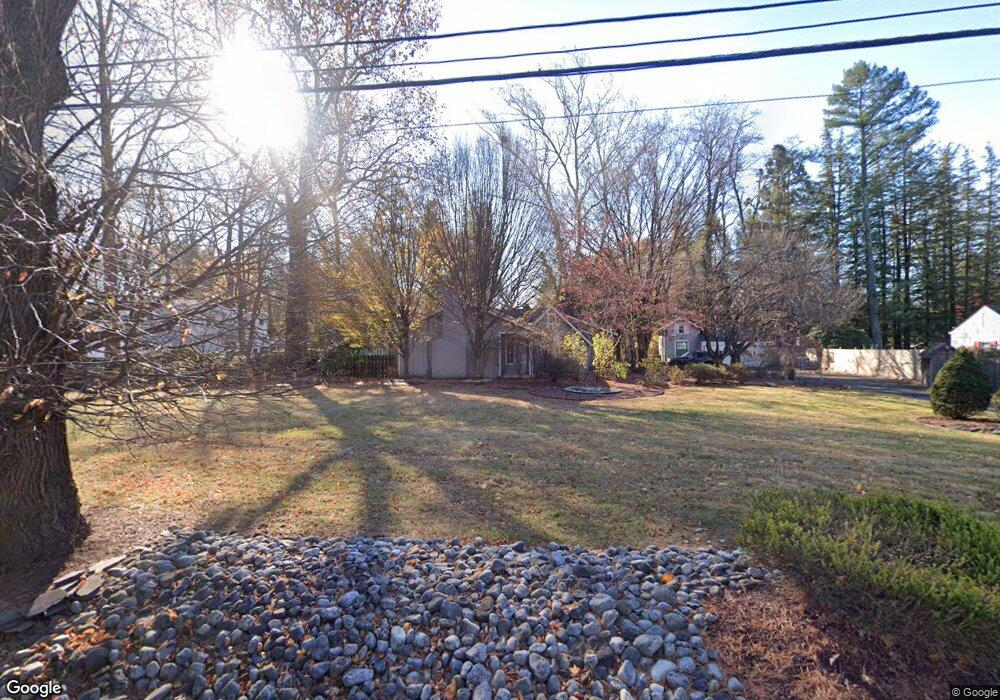
142 Farm Ln Bound Brook, NJ 08805
Estimated Value: $677,000 - $741,441
Studio
--
Bath
2,353
Sq Ft
$296/Sq Ft
Est. Value
About This Home
This home is located at 142 Farm Ln, Bound Brook, NJ 08805 and is currently estimated at $695,360, approximately $295 per square foot. 142 Farm Ln is a home located in Somerset County with nearby schools including LaMonte Annex Elementary School, Lafayette Elementary School, and Bound Brook High School.
Ownership History
Date
Name
Owned For
Owner Type
Purchase Details
Closed on
Dec 20, 2018
Sold by
Rodgers Timothy M and Rodgers Elizabeth
Bought by
Keogh David J and Keogh Cindy L
Current Estimated Value
Home Financials for this Owner
Home Financials are based on the most recent Mortgage that was taken out on this home.
Original Mortgage
$341,880
Outstanding Balance
$293,622
Interest Rate
3.62%
Mortgage Type
FHA
Estimated Equity
$401,738
Purchase Details
Closed on
Apr 20, 1994
Sold by
Truesdale George
Bought by
Rodgers Timothy
Home Financials for this Owner
Home Financials are based on the most recent Mortgage that was taken out on this home.
Original Mortgage
$160,000
Interest Rate
7.6%
Create a Home Valuation Report for This Property
The Home Valuation Report is an in-depth analysis detailing your home's value as well as a comparison with similar homes in the area
Home Values in the Area
Average Home Value in this Area
Purchase History
| Date | Buyer | Sale Price | Title Company |
|---|---|---|---|
| Keogh David J | $399,000 | Prestige Title Agency Inc | |
| Rodgers Timothy | $255,000 | -- |
Source: Public Records
Mortgage History
| Date | Status | Borrower | Loan Amount |
|---|---|---|---|
| Open | Keogh David J | $341,880 | |
| Previous Owner | Rodgers Timothy | $160,000 |
Source: Public Records
Tax History
| Year | Tax Paid | Tax Assessment Tax Assessment Total Assessment is a certain percentage of the fair market value that is determined by local assessors to be the total taxable value of land and additions on the property. | Land | Improvement |
|---|---|---|---|---|
| 2025 | $14,873 | $687,200 | $262,900 | $424,300 |
| 2024 | $14,873 | $655,500 | $242,900 | $412,600 |
| 2023 | $14,518 | $615,700 | $212,900 | $402,800 |
| 2022 | $13,639 | $548,200 | $187,900 | $360,300 |
| 2021 | $15,929 | $488,500 | $162,900 | $325,600 |
| 2020 | $13,666 | $442,700 | $147,900 | $294,800 |
| 2019 | $15,929 | $492,100 | $137,900 | $354,200 |
| 2018 | $16,223 | $486,600 | $127,900 | $358,700 |
| 2017 | $17,089 | $501,000 | $127,900 | $373,100 |
| 2016 | $16,128 | $476,300 | $117,900 | $358,400 |
| 2015 | $14,605 | $441,100 | $127,900 | $313,200 |
| 2014 | $14,500 | $423,000 | $109,800 | $313,200 |
Source: Public Records
Map
Nearby Homes
Your Personal Tour Guide
Ask me questions while you tour the home.