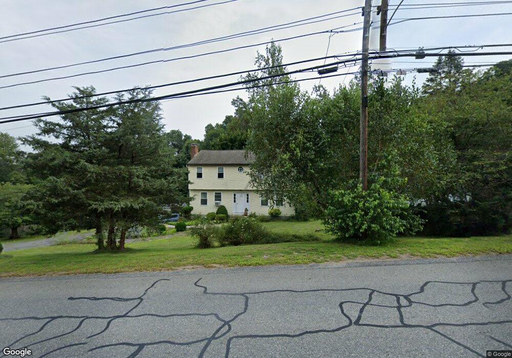
142 Grafton St Millbury, MA 01527
Estimated Value: $601,385 - $741,000
4
Beds
2
Baths
1,908
Sq Ft
$340/Sq Ft
Est. Value
About This Home
This home is located at 142 Grafton St, Millbury, MA 01527 and is currently estimated at $649,346, approximately $340 per square foot. 142 Grafton St is a home located in Worcester County with nearby schools including Elmwood Street Elementary School, Raymond E. Shaw Elementary School, and Millbury Junior/Senior High School.
Ownership History
Date
Name
Owned For
Owner Type
Purchase Details
Closed on
Jun 23, 1994
Sold by
Lerch Brent A and Lerch Janice
Bought by
Alicandro John R and Power Mary K
Current Estimated Value
Home Financials for this Owner
Home Financials are based on the most recent Mortgage that was taken out on this home.
Original Mortgage
$121,600
Interest Rate
8.74%
Mortgage Type
Purchase Money Mortgage
Create a Home Valuation Report for This Property
The Home Valuation Report is an in-depth analysis detailing your home's value as well as a comparison with similar homes in the area
Home Values in the Area
Average Home Value in this Area
Purchase History
| Date | Buyer | Sale Price | Title Company |
|---|---|---|---|
| Alicandro John R | $152,000 | -- |
Source: Public Records
Mortgage History
| Date | Status | Borrower | Loan Amount |
|---|---|---|---|
| Closed | Alicandro John R | $121,600 | |
| Previous Owner | Alicandro John R | $82,200 | |
| Previous Owner | Alicandro John R | $85,000 |
Source: Public Records
Tax History Compared to Growth
Tax History
| Year | Tax Paid | Tax Assessment Tax Assessment Total Assessment is a certain percentage of the fair market value that is determined by local assessors to be the total taxable value of land and additions on the property. | Land | Improvement |
|---|---|---|---|---|
| 2025 | $6,241 | $466,100 | $138,300 | $327,800 |
| 2024 | $5,730 | $433,100 | $128,700 | $304,400 |
| 2023 | $5,216 | $361,000 | $92,700 | $268,300 |
| 2022 | $4,727 | $315,100 | $92,700 | $222,400 |
| 2021 | $3,574 | $303,300 | $92,700 | $210,600 |
| 2020 | $295 | $299,400 | $92,700 | $206,700 |
| 2019 | $4,467 | $281,800 | $84,900 | $196,900 |
| 2018 | $4,446 | $272,100 | $84,900 | $187,200 |
| 2017 | $4,181 | $254,500 | $84,900 | $169,600 |
| 2016 | $3,996 | $242,800 | $84,900 | $157,900 |
| 2015 | $3,952 | $240,100 | $89,700 | $150,400 |
| 2014 | $3,719 | $217,500 | $89,900 | $127,600 |
Source: Public Records
Map
Nearby Homes
- 30 Lexington Rd
- 20 Woodridge Rd
- 8 Autumn Gate Cir
- Lot 1 Cooper Rd
- 19 Cortland Way
- 73 Potter Hill Rd
- 15 Rayburn Dr
- 81 Ariel Cir
- 115 Ariel Cir
- 43 Barbara Jean St
- 75 Potter Hill Rd
- 18 Barbara Jean St
- 123 Riverlin St
- 81 Millbury St
- 19 Rice Rd
- 156 Brigham Hill Rd
- 4 Thomas Hill Rd
- 144 Pleasant St
- 78 Pleasant St
- 16 Jackie Dr
- 140 Grafton St
- 144 Grafton St
- 141 Grafton St
- 139 Grafton St
- 143 Grafton St
- 148 Grafton St
- 145 Grafton St
- 137 Grafton St
- 137 Grafton St
- 136 Grafton St
- 146 Grafton St
- 135 Grafton St
- 150 Grafton St
- 130 Grafton St
- 127 Grafton St
- 2 Lexington Rd
- 4 Lexington Rd
- 3 Lexington Rd
- 1 Lexington Rd
- 3 Lexington Rd Unit 3