142 Hemlock Dr Dahlonega, GA 30533
Estimated Value: $123,000 - $306,000
--
Bed
--
Bath
1,178
Sq Ft
$204/Sq Ft
Est. Value
About This Home
This home is located at 142 Hemlock Dr, Dahlonega, GA 30533 and is currently estimated at $239,859, approximately $203 per square foot. 142 Hemlock Dr is a home with nearby schools including Lumpkin County High School.
Ownership History
Date
Name
Owned For
Owner Type
Purchase Details
Closed on
Apr 23, 2008
Sold by
Adkins Rachel S
Bought by
Wright Ronald S and Wright Pamela D
Current Estimated Value
Home Financials for this Owner
Home Financials are based on the most recent Mortgage that was taken out on this home.
Original Mortgage
$53,148
Outstanding Balance
$33,403
Interest Rate
5.82%
Mortgage Type
New Conventional
Estimated Equity
$206,456
Purchase Details
Closed on
Sep 1, 1986
Sold by
Daniel Roy N
Bought by
Adkins Rachel S
Purchase Details
Closed on
Mar 1, 1979
Bought by
Daniel Roy N
Create a Home Valuation Report for This Property
The Home Valuation Report is an in-depth analysis detailing your home's value as well as a comparison with similar homes in the area
Home Values in the Area
Average Home Value in this Area
Purchase History
| Date | Buyer | Sale Price | Title Company |
|---|---|---|---|
| Wright Ronald S | $52,500 | -- | |
| Adkins Rachel S | -- | -- | |
| Daniel Roy N | -- | -- |
Source: Public Records
Mortgage History
| Date | Status | Borrower | Loan Amount |
|---|---|---|---|
| Open | Wright Ronald S | $53,148 |
Source: Public Records
Tax History Compared to Growth
Tax History
| Year | Tax Paid | Tax Assessment Tax Assessment Total Assessment is a certain percentage of the fair market value that is determined by local assessors to be the total taxable value of land and additions on the property. | Land | Improvement |
|---|---|---|---|---|
| 2024 | $1,621 | $68,502 | $13,000 | $55,502 |
| 2023 | $1,515 | $64,422 | $13,000 | $51,422 |
| 2022 | $1,241 | $50,120 | $8,000 | $42,120 |
| 2021 | $1,090 | $42,577 | $8,000 | $34,577 |
| 2020 | $1,095 | $41,498 | $8,000 | $33,498 |
| 2019 | $1,105 | $41,498 | $8,000 | $33,498 |
| 2018 | $1,055 | $37,174 | $8,000 | $29,174 |
| 2017 | $1,041 | $36,001 | $8,000 | $28,001 |
| 2016 | $1,024 | $34,236 | $9,000 | $25,236 |
| 2015 | $918 | $34,236 | $9,000 | $25,236 |
| 2014 | $918 | $34,830 | $9,000 | $25,830 |
| 2013 | -- | $35,127 | $9,000 | $26,127 |
Source: Public Records
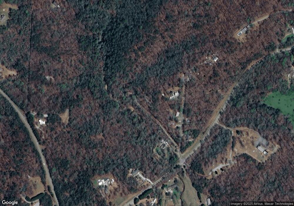
Map
Nearby Homes
- 0 Horseshoe Bend Rd Unit 10571975
- 0 Horseshoe Bend Rd Unit 7620338
- 1063 Grindle Bridge Rd
- 925 Horseshoe Bend Rd
- 0 Hester Rd Unit 7591226
- 349 Hester Rd
- 313 Hester Rd
- 64 Highview Ln
- 770 High Shoals Dr
- 651 Hester Rd
- 0 Christy Ln Unit 10577382
- 124 Candy Man Ln
- 2717 Damascus Church Rd
- 134 Elkmont Dr
- 242 Hooper Rd
- 133 Elkmont Dr
- 16 Welch Cir
- 0 Stancil Dyer Rd Unit 10640477
- 748 Damascus Church Rd
- 109 Hemlock Dr
- 152 Hemlock Dr
- 103 Laurel Hill Dr
- 139 Laurel Hill Dr
- 73 Hemlock Dr
- 75 Laurel Hill Dr
- 0 Laurel Hill Dr Unit 7342174
- 0 Laurel Hill Dr Unit 8027729
- 0 Laurel Hill Dr
- 135 Laurel Hill Dr
- 31 Hemlock Dr
- 92 Laurel Hill Dr
- 176 Laurel Hill Dr
- 54 Laurel Hill Dr
- 2569 Town Creek Church Rd
- 2253 Town Creek Church Rd
- 200 Laurel Hill Dr
- 2252 Town Creek Church Rd
- 2227 Town Creek Church Rd
- 2250 Town Creek Church Rd