142 Mcdonough Rd Morrison, TN 37357
Estimated Value: $587,000 - $1,746,772
Studio
1
Bath
2,728
Sq Ft
$428/Sq Ft
Est. Value
About This Home
This home is located at 142 Mcdonough Rd, Morrison, TN 37357 and is currently estimated at $1,166,886, approximately $427 per square foot. 142 Mcdonough Rd is a home located in Warren County with nearby schools including Morrison Elementary School and Warren County High School.
Ownership History
Date
Name
Owned For
Owner Type
Purchase Details
Closed on
Oct 17, 1995
Sold by
Harold Mcdonough
Bought by
Harold Mcdonough
Current Estimated Value
Purchase Details
Closed on
Jan 4, 1993
Bought by
Mcdonough H B
Purchase Details
Closed on
Dec 31, 1981
Bought by
Mcdonough H B
Purchase Details
Closed on
Dec 7, 1979
Purchase Details
Closed on
May 18, 1978
Purchase Details
Closed on
Sep 11, 1968
Create a Home Valuation Report for This Property
The Home Valuation Report is an in-depth analysis detailing your home's value as well as a comparison with similar homes in the area
Purchase History
| Date | Buyer | Sale Price | Title Company |
|---|---|---|---|
| Harold Mcdonough | -- | -- | |
| Mcdonough H B | -- | -- | |
| Mcdonough H B | -- | -- | |
| -- | -- | -- | |
| -- | -- | -- | |
| -- | -- | -- |
Source: Public Records
Tax History
| Year | Tax Paid | Tax Assessment Tax Assessment Total Assessment is a certain percentage of the fair market value that is determined by local assessors to be the total taxable value of land and additions on the property. | Land | Improvement |
|---|---|---|---|---|
| 2025 | $2,573 | $212,775 | $168,075 | $44,700 |
| 2024 | $3,011 | $153,000 | $127,825 | $25,175 |
| 2023 | $3,011 | $153,000 | $127,825 | $25,175 |
| 2022 | $3,011 | $153,000 | $127,825 | $25,175 |
| 2021 | $3,011 | $153,000 | $127,825 | $25,175 |
| 2020 | $2,632 | $153,000 | $127,825 | $25,175 |
| 2019 | $3,007 | $133,850 | $115,250 | $18,600 |
| 2018 | $2,632 | $133,850 | $115,250 | $18,600 |
| 2017 | $2,632 | $133,850 | $115,250 | $18,600 |
| 2016 | $2,632 | $133,850 | $115,250 | $18,600 |
| 2015 | $2,671 | $133,850 | $115,250 | $18,600 |
| 2014 | $2,095 | $133,850 | $115,250 | $18,600 |
| 2013 | $2,095 | $104,980 | $0 | $0 |
Source: Public Records
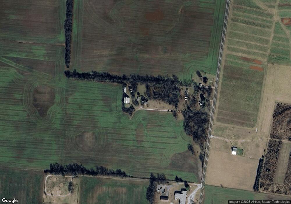
Map
Nearby Homes
- 62 High St
- 71 Basham Rd
- 6579 Vervilla Rd
- 00 Marcrom Rd
- 0 Marcrom Rd
- 158 Swan Mill Rd
- 505 Thaxton Rd
- 0 Chestnut Grove Rd
- 1556 Chestnut Grove Rd
- 441 Sherwood Dr
- 421 Sherwood Dr
- 470 Sherwood Dr
- 471 Sherwood Dr
- 458 Sherwood Dr
- 440 Sherwood Dr
- 2411 Wheeler Rd
- 0 Hickory Grove Dr
- 1445 Tom Grissom Rd
- 0 Finger Bluff Rd
- 431 S Fair St
- 9388 Viola Rd Unit 9366
- 9340 Viola Rd
- 194 Hickory Grove Dr
- 170 Hickory Grove Dr
- 92 Hickory Grove Dr
- 9006 Viola Rd
- 9823 Viola Rd
- 9877 Viola Rd
- 544 Steakley Rd
- 8852 Viola Rd Auction
- 8852 Viola Rd
- 8836 Viola Rd
- 10090 Viola Rd
- 327 High St
- 235 Breezy Knoll Ln
- 39 Talley Ct
- 292 High St
- 293 High St
- 10158 Viola Rd
- 21 Talley Ct