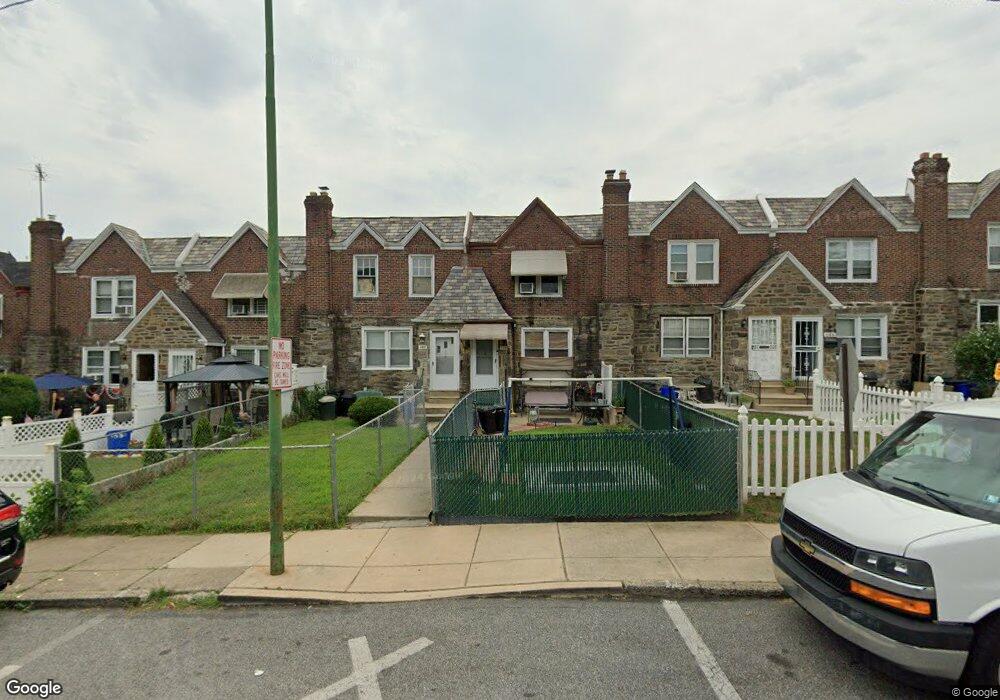
142 Normandy Rd Upper Darby, PA 19082
Estimated Value: $178,000 - $188,000
3
Beds
1
Bath
1,152
Sq Ft
$158/Sq Ft
Est. Value
About This Home
This home is located at 142 Normandy Rd, Upper Darby, PA 19082 and is currently estimated at $182,154, approximately $158 per square foot. 142 Normandy Rd is a home located in Delaware County with nearby schools including Bywood Elementary School, Upper Darby Kdg Center, and Upper Darby High School.
Ownership History
Date
Name
Owned For
Owner Type
Purchase Details
Closed on
Apr 14, 2000
Sold by
Otto Robert W and Otto Jacqueline L
Bought by
Briggs Linda
Current Estimated Value
Home Financials for this Owner
Home Financials are based on the most recent Mortgage that was taken out on this home.
Original Mortgage
$52,965
Outstanding Balance
$18,185
Interest Rate
8.26%
Mortgage Type
FHA
Estimated Equity
$163,969
Create a Home Valuation Report for This Property
The Home Valuation Report is an in-depth analysis detailing your home's value as well as a comparison with similar homes in the area
Home Values in the Area
Average Home Value in this Area
Purchase History
| Date | Buyer | Sale Price | Title Company |
|---|---|---|---|
| Briggs Linda | $53,000 | -- |
Source: Public Records
Mortgage History
| Date | Status | Borrower | Loan Amount |
|---|---|---|---|
| Open | Briggs Linda | $52,965 |
Source: Public Records
Tax History
| Year | Tax Paid | Tax Assessment Tax Assessment Total Assessment is a certain percentage of the fair market value that is determined by local assessors to be the total taxable value of land and additions on the property. | Land | Improvement |
|---|---|---|---|---|
| 2025 | $3,340 | $78,970 | $23,810 | $55,160 |
| 2024 | $3,340 | $78,970 | $23,810 | $55,160 |
| 2023 | $3,308 | $78,970 | $23,810 | $55,160 |
| 2022 | $3,219 | $78,970 | $23,810 | $55,160 |
| 2021 | $4,341 | $78,970 | $23,810 | $55,160 |
| 2020 | $3,434 | $53,090 | $18,530 | $34,560 |
| 2019 | $3,374 | $53,090 | $18,530 | $34,560 |
| 2018 | $3,335 | $53,090 | $0 | $0 |
| 2017 | $3,248 | $53,090 | $0 | $0 |
| 2016 | $291 | $53,090 | $0 | $0 |
| 2015 | $291 | $53,090 | $0 | $0 |
| 2014 | $291 | $53,090 | $0 | $0 |
Source: Public Records
Map
Nearby Homes
- 148 Normandy Rd
- 140 Normandy Rd
- 138 Normandy Rd
- 134 Normandy Rd
- 128 Normandy Rd
- 126 Normandy Rd
- 124 Normandy Rd
- 122 Normandy Rd
- 120 Normandy Rd
- 118 Normandy Rd
- 144 Normandy Rd
- 146 Normandy Rd
- 150 Normandy Rd
- 152 Normandy Rd
- 154 Normandy Rd
- 7224 Spruce St
- 7224 Calvin Rd
- 136 Normandy Rd
- 7243 Calvin Rd
- 7228 Calvin Rd
Your Personal Tour Guide
Ask me questions while you tour the home.